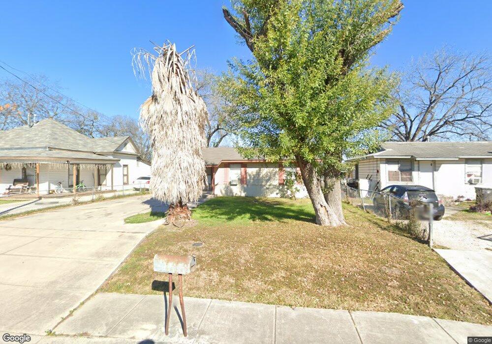
507 Aaron St San Antonio, TX 78221
San Jose NeighborhoodEstimated Value: $118,000 - $157,000
3
Beds
1
Bath
792
Sq Ft
$168/Sq Ft
Est. Value
About This Home
This home is located at 507 Aaron St, San Antonio, TX 78221 and is currently estimated at $133,194, approximately $168 per square foot. 507 Aaron St is a home located in Bexar County with nearby schools including Carroll Bell Elementary School, Terrell Wells Middle School, and McCollum High School.
Ownership History
Date
Name
Owned For
Owner Type
Purchase Details
Closed on
Jun 9, 1995
Sold by
Rendon Antonio C
Bought by
Salinas David R
Current Estimated Value
Home Financials for this Owner
Home Financials are based on the most recent Mortgage that was taken out on this home.
Original Mortgage
$40,698
Interest Rate
8.2%
Mortgage Type
VA
Create a Home Valuation Report for This Property
The Home Valuation Report is an in-depth analysis detailing your home's value as well as a comparison with similar homes in the area
Home Values in the Area
Average Home Value in this Area
Purchase History
| Date | Buyer | Sale Price | Title Company |
|---|---|---|---|
| Salinas David R | -- | -- |
Source: Public Records
Mortgage History
| Date | Status | Borrower | Loan Amount |
|---|---|---|---|
| Closed | Salinas David R | $40,698 |
Source: Public Records
Tax History Compared to Growth
Tax History
| Year | Tax Paid | Tax Assessment Tax Assessment Total Assessment is a certain percentage of the fair market value that is determined by local assessors to be the total taxable value of land and additions on the property. | Land | Improvement |
|---|---|---|---|---|
| 2025 | $2,441 | $92,570 | $46,620 | $45,950 |
| 2024 | $2,441 | $96,000 | $50,680 | $45,320 |
| 2023 | $2,441 | $98,210 | $56,350 | $41,860 |
| 2022 | $2,420 | $88,710 | $42,630 | $46,080 |
| 2021 | $1,836 | $67,910 | $31,010 | $36,900 |
| 2020 | $1,701 | $60,710 | $23,450 | $37,260 |
| 2019 | $1,510 | $52,750 | $18,130 | $34,620 |
| 2018 | $1,328 | $46,860 | $18,130 | $28,730 |
| 2017 | $1,618 | $57,010 | $13,930 | $43,080 |
| 2016 | $1,517 | $53,450 | $12,100 | $41,350 |
| 2015 | $1,383 | $55,110 | $12,100 | $43,010 |
| 2014 | $1,383 | $48,510 | $0 | $0 |
Source: Public Records
Map
Nearby Homes
- 405 Sunglo Dr
- 614 Sunglo Dr
- 338 Sunglo Dr
- 614 Sharmain Place
- 134 Cantrell Dr
- 439 Grosvenor St
- 811 Cantrell Dr
- 1222 W Harding Blvd
- 722 Grosvenor St
- 835 Aaron Place
- 347 Leff Place
- 119 Ware Blvd
- 903 Drury Ln
- 1026 W Vestal Place
- 930 Drury Ln
- 306 W Formosa Blvd
- 1019 Clovis Place
- 3513 Commercial Ave
- 927 W Formosa Blvd
- 219 E Vestal Place