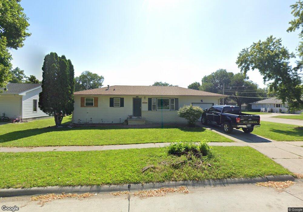
509 S 15th St Norfolk, NE 68701
Estimated Value: $215,969 - $247,000
3
Beds
2
Baths
1,152
Sq Ft
$204/Sq Ft
Est. Value
About This Home
This home is located at 509 S 15th St, Norfolk, NE 68701 and is currently estimated at $234,492, approximately $203 per square foot. 509 S 15th St is a home located in Madison County with nearby schools including Norfolk Senior High School, Norfolk Catholic School, and Sacred Heart Elementary School.
Ownership History
Date
Name
Owned For
Owner Type
Purchase Details
Closed on
Jul 7, 2003
Sold by
Perrigan William R and Perrigan Mariah O
Bought by
Hernandez Dora A and Hernandez Carmen
Current Estimated Value
Purchase Details
Closed on
Sep 30, 2002
Sold by
Elkhorn Valley Community Dev Corp
Bought by
Perrigan William R and Perrigan Mariah O
Purchase Details
Closed on
Sep 6, 2002
Sold by
Heinemann Brian L and Heinemann Jamie L
Bought by
Elkhorn Valley Community Dev~Corp
Purchase Details
Closed on
Apr 30, 2002
Sold by
Holter Brian K and Holter Debra R
Bought by
Heinemann Brian L and Heinemann Jamie L
Create a Home Valuation Report for This Property
The Home Valuation Report is an in-depth analysis detailing your home's value as well as a comparison with similar homes in the area
Home Values in the Area
Average Home Value in this Area
Purchase History
| Date | Buyer | Sale Price | Title Company |
|---|---|---|---|
| Hernandez Dora A | $97,000 | -- | |
| Perrigan William R | $99,780 | -- | |
| Elkhorn Valley Community Dev~Corp | $89,900 | -- | |
| Heinemann Brian L | $88,500 | -- |
Source: Public Records
Tax History Compared to Growth
Tax History
| Year | Tax Paid | Tax Assessment Tax Assessment Total Assessment is a certain percentage of the fair market value that is determined by local assessors to be the total taxable value of land and additions on the property. | Land | Improvement |
|---|---|---|---|---|
| 2024 | $2,138 | $172,308 | $16,790 | $155,518 |
| 2023 | $2,948 | $159,467 | $16,790 | $142,677 |
| 2022 | $2,673 | $144,180 | $16,790 | $127,390 |
| 2021 | $2,473 | $133,662 | $16,790 | $116,872 |
| 2020 | $2,287 | $124,012 | $16,790 | $107,222 |
| 2019 | $2,149 | $112,524 | $16,790 | $95,734 |
| 2018 | $2,145 | $114,160 | $23,026 | $91,134 |
| 2017 | $2,026 | $107,715 | $23,026 | $84,689 |
| 2016 | $1,848 | $98,072 | $9,750 | $88,322 |
| 2015 | $1,849 | $98,072 | $9,750 | $88,322 |
| 2014 | $1,822 | $93,866 | $9,750 | $84,116 |
| 2013 | $1,771 | $88,363 | $9,750 | $78,613 |
Source: Public Records
Map
Nearby Homes
- 2300 Taylor Ave
- 2308 Taylor Ave
- 809 S 14th St
- See Legal
- 1312 Hayes Ave
- 103 S 13th Place
- 1313 W Park Ave
- 706 Columbia St
- 1809 W Taylor Ave
- 207 S 17th St
- 404 S 12th St
- 3307 W Michigan Ave
- 3206 W Michigan Ave
- 3205 W Michigan Ave
- 3306 W Michigan Ave
- 1208 W Phillip Ave
- 2005 Sunset Ave
- 602 S 10th St
- 105 19th Dr
- 1407 Koenigstein Ave