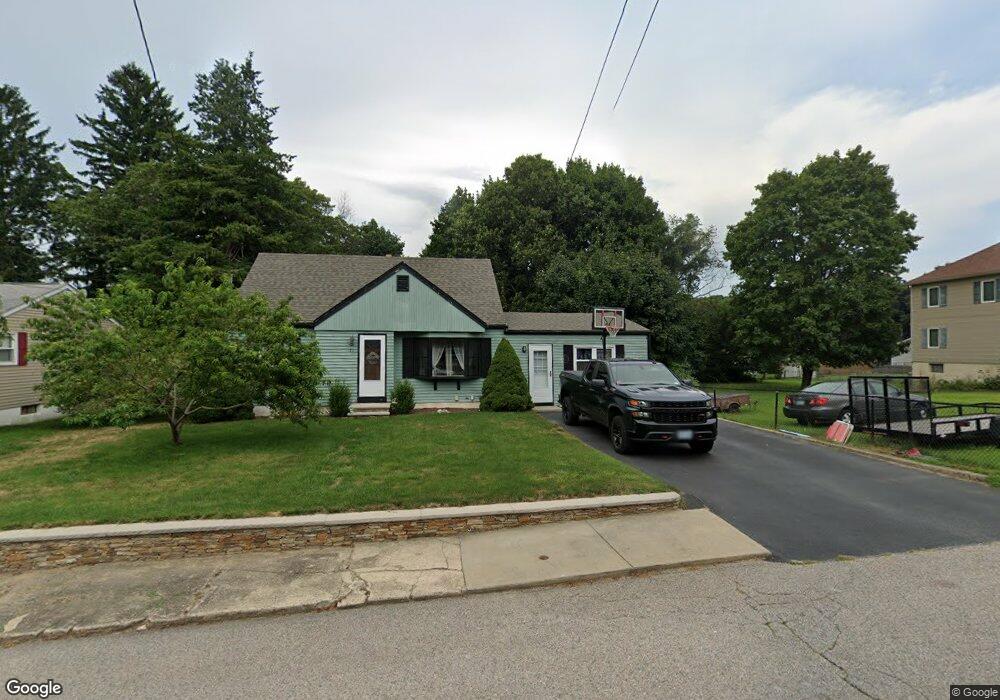
51 Angus St Coventry, RI 02816
Crompton NeighborhoodEstimated Value: $398,000 - $418,184
3
Beds
1
Bath
1,528
Sq Ft
$268/Sq Ft
Est. Value
About This Home
This home is located at 51 Angus St, Coventry, RI 02816 and is currently estimated at $410,046, approximately $268 per square foot. 51 Angus St is a home located in Kent County with nearby schools including Alan Shawn Feinstein Ms Of Cov, Coventry High School, and Father John V. Doyle School.
Ownership History
Date
Name
Owned For
Owner Type
Purchase Details
Closed on
Dec 2, 2009
Sold by
Bagley Michael J and Amend Amanda B
Bought by
Bagley Michael J and Bagley Amanda B
Current Estimated Value
Purchase Details
Closed on
Sep 4, 2007
Sold by
Powell Richard
Bought by
Bagley Michael J and Amend Amanda B
Home Financials for this Owner
Home Financials are based on the most recent Mortgage that was taken out on this home.
Original Mortgage
$245,000
Interest Rate
6.71%
Mortgage Type
Purchase Money Mortgage
Purchase Details
Closed on
Jun 22, 2006
Sold by
Noel Joseph A and Noel Patricia A
Bought by
Powell Richard
Home Financials for this Owner
Home Financials are based on the most recent Mortgage that was taken out on this home.
Original Mortgage
$218,000
Interest Rate
6.59%
Mortgage Type
Purchase Money Mortgage
Create a Home Valuation Report for This Property
The Home Valuation Report is an in-depth analysis detailing your home's value as well as a comparison with similar homes in the area
Home Values in the Area
Average Home Value in this Area
Purchase History
| Date | Buyer | Sale Price | Title Company |
|---|---|---|---|
| Bagley Michael J | -- | -- | |
| Bagley Michael J | $240,000 | -- | |
| Powell Richard | $218,000 | -- |
Source: Public Records
Mortgage History
| Date | Status | Borrower | Loan Amount |
|---|---|---|---|
| Previous Owner | Powell Richard | $245,000 | |
| Previous Owner | Powell Richard | $218,000 |
Source: Public Records
Tax History Compared to Growth
Tax History
| Year | Tax Paid | Tax Assessment Tax Assessment Total Assessment is a certain percentage of the fair market value that is determined by local assessors to be the total taxable value of land and additions on the property. | Land | Improvement |
|---|---|---|---|---|
| 2024 | $4,565 | $288,200 | $105,300 | $182,900 |
| 2023 | $4,418 | $288,200 | $105,300 | $182,900 |
| 2022 | $4,491 | $229,500 | $101,200 | $128,300 |
| 2021 | $4,452 | $229,500 | $101,200 | $128,300 |
| 2020 | $5,104 | $229,500 | $101,200 | $128,300 |
| 2019 | $4,332 | $194,800 | $83,600 | $111,200 |
| 2018 | $4,210 | $194,800 | $83,600 | $111,200 |
| 2017 | $4,087 | $194,800 | $83,600 | $111,200 |
| 2016 | $3,905 | $182,400 | $78,800 | $103,600 |
| 2015 | $3,799 | $182,400 | $78,800 | $103,600 |
| 2014 | $3,720 | $182,400 | $78,800 | $103,600 |
| 2013 | $3,460 | $185,400 | $82,000 | $103,400 |
Source: Public Records
Map
Nearby Homes
- 65 Angus St
- 0 New London Turnpike
- 25 Wescott Way Unit 80
- 25 Scenic Dr
- 5 Pine Hollow Rd
- 105 Scenic Dr
- 11 Kennedy Dr
- 275 E Shore Dr
- 11 Drawbridge Dr
- 211 Tiogue Ave
- 1 Hampton Rd Unit 27
- 19 Hampton Rd Unit 69
- 32 Wescott Way Unit 53
- 40 Wescott Way Unit 57
- 15 Hampton Rd Unit 20
- 58 Rawlinson Dr
- 194 Kimberly Ln
- 2 Holmes Rd
- 21 Darton St
- 8 Grant Dr