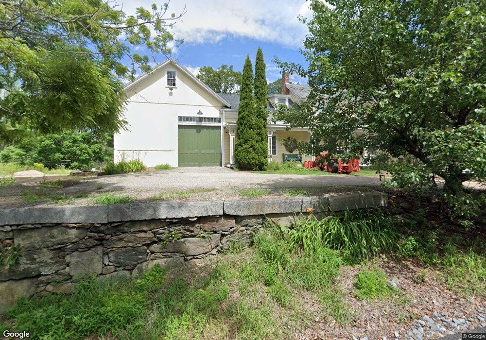
51 Gold Nugget Rd Spencer, MA 01562
Estimated Value: $366,000 - $436,786
3
Beds
3
Baths
2,310
Sq Ft
$176/Sq Ft
Est. Value
About This Home
This home is located at 51 Gold Nugget Rd, Spencer, MA 01562 and is currently estimated at $405,697, approximately $175 per square foot. 51 Gold Nugget Rd is a home located in Worcester County with nearby schools including David Prouty High School.
Ownership History
Date
Name
Owned For
Owner Type
Purchase Details
Closed on
Nov 8, 2021
Sold by
Herring Mark E and Herring Lynne G
Bought by
Herring Rt 2020
Current Estimated Value
Purchase Details
Closed on
Aug 15, 1980
Bought by
Herring Mark E and Bosse Lynne G
Create a Home Valuation Report for This Property
The Home Valuation Report is an in-depth analysis detailing your home's value as well as a comparison with similar homes in the area
Home Values in the Area
Average Home Value in this Area
Purchase History
| Date | Buyer | Sale Price | Title Company |
|---|---|---|---|
| Herring Rt 2020 | -- | None Available | |
| Herring Mark E | $43,000 | -- |
Source: Public Records
Mortgage History
| Date | Status | Borrower | Loan Amount |
|---|---|---|---|
| Previous Owner | Herring Mark E | $69,000 | |
| Previous Owner | Herring Mark E | $30,000 | |
| Previous Owner | Herring Mark E | $25,000 |
Source: Public Records
Tax History Compared to Growth
Tax History
| Year | Tax Paid | Tax Assessment Tax Assessment Total Assessment is a certain percentage of the fair market value that is determined by local assessors to be the total taxable value of land and additions on the property. | Land | Improvement |
|---|---|---|---|---|
| 2025 | $42 | $357,100 | $59,200 | $297,900 |
| 2024 | $3,784 | $330,800 | $59,200 | $271,600 |
| 2023 | $3,628 | $300,800 | $59,200 | $241,600 |
| 2022 | $3,649 | $277,300 | $53,800 | $223,500 |
| 2021 | $3,207 | $228,400 | $53,800 | $174,600 |
| 2020 | $3,073 | $217,600 | $53,800 | $163,800 |
| 2019 | $2,875 | $207,400 | $49,000 | $158,400 |
| 2018 | $2,589 | $192,900 | $56,200 | $136,700 |
| 2017 | $2,967 | $212,200 | $53,800 | $158,400 |
| 2016 | $2,835 | $198,400 | $53,800 | $144,600 |
| 2015 | $2,816 | $206,000 | $59,200 | $146,800 |
| 2014 | $2,709 | $206,000 | $59,200 | $146,800 |
Source: Public Records
Map
Nearby Homes
- 52 Gold Nugget Rd
- 114 Paxton Rd
- 105 Paxton Rd
- 116 Paxton Rd
- 47 Gold Nugget Rd
- 115 Paxton Rd
- 110 Paxton Rd
- 50 Gold Nugget Rd
- 106 Paxton Rd
- 103 Paxton Rd
- 104 Paxton Rd
- 45 Gold Nugget Rd
- 46 Gold Nugget Rd
- 48 Gold Nugget Rd
- 100 Wire Village Rd
- 102 Paxton Rd
- 100 Paxton Rd
- 98 Wire Village Rd
- 131 Paxton
- 98 Paxton Rd