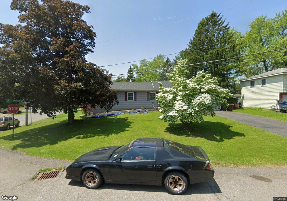
51 Sparrowbush Rd S Latham, NY 12110
Estimated Value: $382,000 - $416,000
3
Beds
1
Bath
1,578
Sq Ft
$250/Sq Ft
Est. Value
About This Home
This home is located at 51 Sparrowbush Rd S, Latham, NY 12110 and is currently estimated at $394,434, approximately $249 per square foot. 51 Sparrowbush Rd S is a home located in Albany County with nearby schools including Forts Ferry School, Shaker Junior High School, and Shaker High School.
Ownership History
Date
Name
Owned For
Owner Type
Purchase Details
Closed on
Aug 5, 2024
Sold by
Deacon Diane M
Bought by
Diane M Deacon Living Trust and Deacon
Current Estimated Value
Purchase Details
Closed on
Nov 11, 2015
Sold by
Murray Carlton J
Bought by
Murray Carlton J and Murray Tammy F
Purchase Details
Closed on
Apr 29, 1998
Sold by
Alessi Elaine M
Bought by
Murray Carlton J
Purchase Details
Closed on
Jan 7, 1997
Sold by
Weis Elias
Bought by
Town Of Colonie Hwy
Purchase Details
Closed on
Oct 1, 1996
Sold by
Zeglen Olga
Bought by
Weis Elias
Create a Home Valuation Report for This Property
The Home Valuation Report is an in-depth analysis detailing your home's value as well as a comparison with similar homes in the area
Home Values in the Area
Average Home Value in this Area
Purchase History
| Date | Buyer | Sale Price | Title Company |
|---|---|---|---|
| Diane M Deacon Living Trust | -- | None Listed On Document | |
| Murray Carlton J | -- | None Available | |
| Murray Carlton J | $106,700 | -- | |
| Town Of Colonie Hwy | -- | -- | |
| Weis Elias | $317,800 | -- |
Source: Public Records
Tax History Compared to Growth
Tax History
| Year | Tax Paid | Tax Assessment Tax Assessment Total Assessment is a certain percentage of the fair market value that is determined by local assessors to be the total taxable value of land and additions on the property. | Land | Improvement |
|---|---|---|---|---|
| 2024 | $4,589 | $118,000 | $29,500 | $88,500 |
| 2023 | $4,476 | $118,000 | $29,500 | $88,500 |
| 2022 | $4,862 | $118,000 | $29,500 | $88,500 |
| 2021 | $4,841 | $118,000 | $29,500 | $88,500 |
| 2020 | $3,815 | $118,000 | $29,500 | $88,500 |
| 2019 | $2,181 | $118,000 | $29,500 | $88,500 |
| 2018 | $3,721 | $118,000 | $29,500 | $88,500 |
| 2017 | $0 | $118,000 | $29,500 | $88,500 |
| 2016 | $3,763 | $118,000 | $29,500 | $88,500 |
| 2015 | -- | $118,000 | $29,500 | $88,500 |
| 2014 | -- | $118,000 | $29,500 | $88,500 |
Source: Public Records
Map
Nearby Homes
- 49 Sparrowbush Rd S
- 50A Mallard Ln
- 50B Mallard Ln
- 82 Fairlawn Dr
- 1 Phoebe Ct
- 80 Fairlawn Dr
- 47 Sparrowbush Rd S
- 5 Francis Place
- 78 Fairlawn Dr
- 36 Sparrowbush Rd S
- 45 Sparrowbush Rd S
- 2 Phoebe Ct
- 76 Fairlawn Dr
- 3 Francis Place
- 3 Frances Place
- 5 Phoebe Ct
- 34 Sparrowbush Rd S
- 6 Francis Place
- 43 Sparrowbush Rd S
- 74 Fairlawn Dr