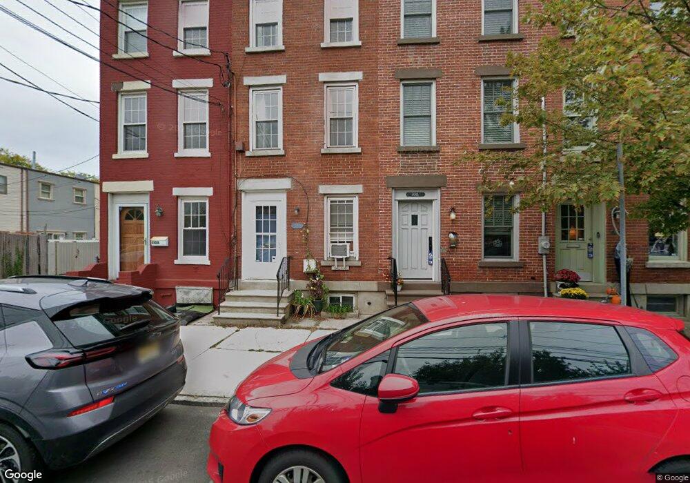
510 Monmouth St Jersey City, NJ 07302
Downtown Jersey City NeighborhoodEstimated Value: $851,000 - $1,235,000
3
Beds
2
Baths
1,500
Sq Ft
$731/Sq Ft
Est. Value
About This Home
This home is located at 510 Monmouth St, Jersey City, NJ 07302 and is currently estimated at $1,096,709, approximately $731 per square foot. 510 Monmouth St is a home located in Hudson County with nearby schools including Rafael Cordero y Molina School - P.S. 37, Dr Ronald McNair High School, and James J. Ferris High School.
Ownership History
Date
Name
Owned For
Owner Type
Purchase Details
Closed on
Nov 27, 2000
Sold by
Omeara Margaret and Raynis Ryan
Bought by
Omalley Kathleen and Fields Gaylord
Current Estimated Value
Home Financials for this Owner
Home Financials are based on the most recent Mortgage that was taken out on this home.
Original Mortgage
$315,000
Outstanding Balance
$116,582
Interest Rate
7.76%
Mortgage Type
Purchase Money Mortgage
Estimated Equity
$980,127
Purchase Details
Closed on
Oct 23, 1998
Sold by
Crespo Margaret
Bought by
Omeara Margaret
Home Financials for this Owner
Home Financials are based on the most recent Mortgage that was taken out on this home.
Original Mortgage
$157,500
Interest Rate
6.75%
Mortgage Type
Purchase Money Mortgage
Purchase Details
Closed on
Aug 30, 1994
Sold by
Federal National Mortgage Association
Bought by
Crespo Margaret
Create a Home Valuation Report for This Property
The Home Valuation Report is an in-depth analysis detailing your home's value as well as a comparison with similar homes in the area
Home Values in the Area
Average Home Value in this Area
Purchase History
| Date | Buyer | Sale Price | Title Company |
|---|---|---|---|
| Omalley Kathleen | $350,000 | -- | |
| Omeara Margaret | $175,000 | -- | |
| Crespo Margaret | $59,900 | Fidelity National Title Ins |
Source: Public Records
Mortgage History
| Date | Status | Borrower | Loan Amount |
|---|---|---|---|
| Open | Omalley Kathleen | $315,000 | |
| Previous Owner | Omeara Margaret | $157,500 |
Source: Public Records
Tax History Compared to Growth
Tax History
| Year | Tax Paid | Tax Assessment Tax Assessment Total Assessment is a certain percentage of the fair market value that is determined by local assessors to be the total taxable value of land and additions on the property. | Land | Improvement |
|---|---|---|---|---|
| 2025 | $18,170 | $813,700 | $444,600 | $369,100 |
| 2024 | $18,284 | $813,700 | $444,600 | $369,100 |
| 2023 | $18,284 | $813,700 | $444,600 | $369,100 |
| 2022 | $17,234 | $813,700 | $444,600 | $369,100 |
| 2021 | $13,052 | $813,700 | $444,600 | $369,100 |
| 2020 | $13,101 | $813,700 | $444,600 | $369,100 |
| 2019 | $12,531 | $813,700 | $444,600 | $369,100 |
| 2018 | $1,488 | $813,700 | $444,600 | $369,100 |
| 2017 | $7,800 | $100,000 | $3,500 | $96,500 |
| 2016 | $7,701 | $100,000 | $3,500 | $96,500 |
| 2015 | $7,482 | $100,000 | $3,500 | $96,500 |
| 2014 | $7,434 | $100,000 | $3,500 | $96,500 |
Source: Public Records
Map
Nearby Homes
- 315 Pavonia Ave Unit 7
- 315 Pavonia Ave Unit 3
- 318 1/2 Pavonia Ave
- 329.5 8th St
- 308 8th St
- 477 Monmouth St Unit 4
- 477 Monmouth St Unit 3
- 48-50 W Hamilton Place Unit 3
- 226 Brunswick St
- 364 8th St Unit 1L
- 364 8th St Unit 3L
- 292 7th St Unit 2
- 366 8th St
- 121 Coles St Unit 1
- 352 7th St Unit 3
- 274 7th St
- 353 7th St Unit 1
- 366 7th St Unit 1
- 263 10th St Unit 5D
- 263 10th St Unit 1E
- 510 Monmouth St Unit 5
- 508.5 Monmouth St
- 510.5 Monmouth St Unit 510.5
- 508 Monmouth St
- 508 Monmouth St Unit 5
- 323 9th St
- 325 9th St
- 316 Pavonia Ave
- 320 Pavonia Ave Unit 5
- 320 Pavonia Ave
- 321 9th St
- 314 1/2 Pavonia Ave
- 319 9th St
- 318 Pavonia Ave Unit 5
- 318 Pavonia Ave
- 314 Pavonia Ave Unit 5
- 314 Pavonia Ave
- 317 9th St
- 312 Pavonia Ave
- 312 Pavonia Ave Unit 2