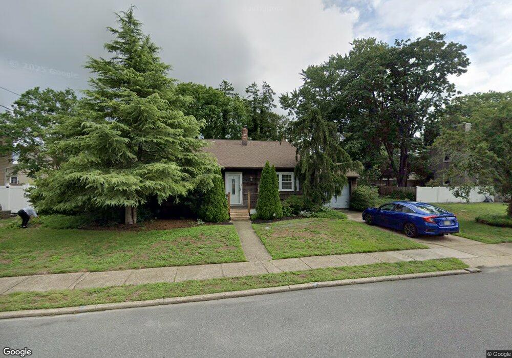
510 Pierce Ave Linwood, NJ 08221
Estimated Value: $465,777 - $519,000
--
Bed
--
Bath
2,043
Sq Ft
$243/Sq Ft
Est. Value
About This Home
This home is located at 510 Pierce Ave, Linwood, NJ 08221 and is currently estimated at $497,259, approximately $243 per square foot. 510 Pierce Ave is a home located in Atlantic County with nearby schools including Seaview Elementary School, Belhaven Middle School, and Mainland Regional High School.
Ownership History
Date
Name
Owned For
Owner Type
Purchase Details
Closed on
Oct 27, 2000
Sold by
Locke Merrel J and Locke Eileen D
Bought by
Batohie Sean A and Batohie Sandra A
Current Estimated Value
Home Financials for this Owner
Home Financials are based on the most recent Mortgage that was taken out on this home.
Original Mortgage
$143,100
Outstanding Balance
$52,353
Interest Rate
7.78%
Estimated Equity
$444,906
Create a Home Valuation Report for This Property
The Home Valuation Report is an in-depth analysis detailing your home's value as well as a comparison with similar homes in the area
Home Values in the Area
Average Home Value in this Area
Purchase History
| Date | Buyer | Sale Price | Title Company |
|---|---|---|---|
| Batohie Sean A | $159,000 | The Title Company |
Source: Public Records
Mortgage History
| Date | Status | Borrower | Loan Amount |
|---|---|---|---|
| Open | Batohie Sean A | $143,100 |
Source: Public Records
Tax History Compared to Growth
Tax History
| Year | Tax Paid | Tax Assessment Tax Assessment Total Assessment is a certain percentage of the fair market value that is determined by local assessors to be the total taxable value of land and additions on the property. | Land | Improvement |
|---|---|---|---|---|
| 2025 | $9,061 | $237,500 | $110,000 | $127,500 |
| 2024 | $9,061 | $237,500 | $110,000 | $127,500 |
| 2023 | $8,640 | $237,500 | $110,000 | $127,500 |
| 2022 | $8,640 | $237,500 | $110,000 | $127,500 |
| 2021 | $8,564 | $237,500 | $110,000 | $127,500 |
| 2020 | $8,446 | $237,500 | $110,000 | $127,500 |
| 2019 | $8,265 | $237,500 | $110,000 | $127,500 |
| 2018 | $8,080 | $237,500 | $110,000 | $127,500 |
| 2017 | $7,918 | $237,500 | $110,000 | $127,500 |
| 2016 | $7,652 | $237,500 | $110,000 | $127,500 |
| 2015 | $7,659 | $237,500 | $110,000 | $127,500 |
| 2014 | $7,363 | $237,500 | $110,000 | $127,500 |
Source: Public Records
Map
Nearby Homes
- 1026 Bartlett Dr
- 1026 Bartlett Ave
- 1005 Bartlett Ave
- 901 Oak Ave
- 500 Davis Ave
- 2 Sandy Ct
- 109 Blackman Rd
- 921 Oak Grove Ave
- 404 Cedarbrook Ln
- 309 Haines Ave
- 622 Central Ave
- 210 Haines Ave
- 34 Crossing Dr
- Temple Drive
- 104 W Poplar Ave
- 20 Devon Dr
- 130 Wilson Ave
- 30 Allison Place
- 28 Crossing Dr
- 550 Central Ave Unit M3
- 511 Marie Ave
- 508 Pierce Ave
- 512 Pierce Ave
- 509 Marie Ave
- 513 Marie Ave
- 511 Pierce Ave
- 513 Pierce Ave
- 509 Pierce Ave
- 506 Pierce Ave
- 507 Marie Ave
- 510 Van Sant Ave
- 507 Pierce Ave
- 907 Bartlett Dr
- 905 Bartlett Dr
- 512 Van Sant Ave
- 508 Van Sant Ave
- 515 W Poplar Ave
- 909 Bartlett Dr
- 513 W Poplar Ave
- 517 W Poplar Ave