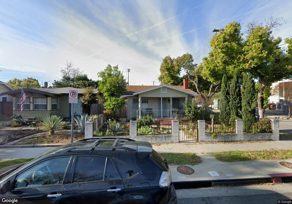
5100 Buchanan St Los Angeles, CA 90042
Estimated Value: $1,036,000 - $1,156,000
3
Beds
2
Baths
1,296
Sq Ft
$835/Sq Ft
Est. Value
About This Home
This home is located at 5100 Buchanan St, Los Angeles, CA 90042 and is currently estimated at $1,082,600, approximately $835 per square foot. 5100 Buchanan St is a home located in Los Angeles County with nearby schools including Buchanan Street Elementary, Benjamin Franklin High School, and Luther Burbank Middle School.
Ownership History
Date
Name
Owned For
Owner Type
Purchase Details
Closed on
Oct 2, 2025
Sold by
Ungson Family 2018 Living Trust and Ungson Antonio
Bought by
2025 Buchanan Neil U Living Trust
Current Estimated Value
Purchase Details
Closed on
Jun 4, 2020
Sold by
Ungson Antonio and Ungson Myrna
Bought by
Ungson Nell Allen Octoman and Ungson Katherine Wing
Purchase Details
Closed on
Nov 2, 2019
Sold by
Ungson Antonio and Ungson Myrna
Bought by
Ungson Antonio and Ungson Myrna
Purchase Details
Closed on
Sep 9, 2019
Sold by
Buchanan Street Trust
Bought by
Ungson Antonio and Ungson Myrna
Purchase Details
Closed on
Nov 20, 2018
Sold by
Ungson Antonio and Ungson Myrna
Bought by
Ungson Myrna and Lingson Neil Allen
Purchase Details
Closed on
Jun 25, 2003
Sold by
Ungson Antonio and Ungson Myrna
Bought by
Ungson Antonio
Home Financials for this Owner
Home Financials are based on the most recent Mortgage that was taken out on this home.
Original Mortgage
$149,269
Interest Rate
5.37%
Mortgage Type
Purchase Money Mortgage
Create a Home Valuation Report for This Property
The Home Valuation Report is an in-depth analysis detailing your home's value as well as a comparison with similar homes in the area
Home Values in the Area
Average Home Value in this Area
Purchase History
| Date | Buyer | Sale Price | Title Company |
|---|---|---|---|
| 2025 Buchanan Neil U Living Trust | -- | None Listed On Document | |
| Ungson Nell Allen Octoman | -- | Accommodation | |
| Ungson Antonio | -- | Progressive Title | |
| Ungson Antonio | -- | Accommodation | |
| Ungson Antonio | -- | None Available | |
| Ungson Myrna | -- | None Available | |
| Ungson Antonio | -- | Orange Coast Title |
Source: Public Records
Mortgage History
| Date | Status | Borrower | Loan Amount |
|---|---|---|---|
| Previous Owner | Ungson Antonio | $149,269 |
Source: Public Records
Tax History Compared to Growth
Tax History
| Year | Tax Paid | Tax Assessment Tax Assessment Total Assessment is a certain percentage of the fair market value that is determined by local assessors to be the total taxable value of land and additions on the property. | Land | Improvement |
|---|---|---|---|---|
| 2025 | $4,344 | $351,304 | $253,570 | $97,734 |
| 2024 | $4,278 | $344,417 | $248,599 | $95,818 |
| 2023 | $4,196 | $337,665 | $243,725 | $93,940 |
| 2022 | $4,083 | $331,046 | $238,947 | $92,099 |
| 2021 | $4,029 | $324,556 | $241,336 | $83,220 |
| 2020 | $4,067 | $321,229 | $238,862 | $82,367 |
| 2019 | $3,910 | $314,931 | $234,179 | $80,752 |
| 2018 | $3,757 | $308,757 | $229,588 | $79,169 |
| 2016 | $3,578 | $296,770 | $220,674 | $76,096 |
| 2015 | $3,526 | $292,313 | $217,360 | $74,953 |
| 2014 | $3,543 | $286,588 | $213,103 | $73,485 |
Source: Public Records
Map
Nearby Homes
- 5125 Buchanan St
- 5055 Hub St
- 1037 N Avenue 50
- 1113 N Avenue 50
- 1048 Dexter St
- 917 N Avenue 51
- 4925 Buchanan St
- 829 N Avenue 53
- 4854 Buchanan St
- 865 N Avenue 50
- 5318 Irvington Place
- 5252 Range View Ave
- 4780 Hub St
- 1336 Armadale Ave
- 925 927 El Paso Dr
- 459 Holland Ave
- 768 N Avenue 50
- 4844 San Rafael Ave
- 4824 Toland Way
- 4707 Toland Way
- 5104 Buchanan St
- 5108 Buchanan St
- 1106 North Avenue 51
- 5112 Buchanan St
- 5105 Baltimore St
- 5109 Baltimore St
- 5101 Baltimore St
- 5116 Buchanan St
- 5101 Buchanan St
- 5113 Baltimore St
- 5105 Buchanan St
- 5120 Buchanan St
- 5117 Baltimore St
- 5109 Buchanan St
- 1209 North Avenue 51
- 5113 Buchanan St
- 1101 N Avenue 51
- 1210 N Avenue 51
- 5121 Baltimore St
- 5053 Buchanan St