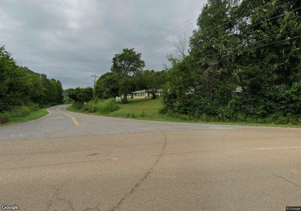
5106 Highway 128 Linden, TN 37096
Estimated Value: $63,210 - $216,000
--
Bed
1
Bath
902
Sq Ft
$164/Sq Ft
Est. Value
About This Home
This home is located at 5106 Highway 128, Linden, TN 37096 and is currently estimated at $147,803, approximately $163 per square foot. 5106 Highway 128 is a home located in Perry County.
Ownership History
Date
Name
Owned For
Owner Type
Purchase Details
Closed on
Jan 19, 2001
Bought by
Carter Jack
Current Estimated Value
Purchase Details
Closed on
Sep 7, 1999
Bought by
Carter Carter J and Carter Barbara L
Purchase Details
Closed on
Apr 3, 1996
Bought by
Himes Kay
Purchase Details
Closed on
Aug 27, 1993
Bought by
Bilanzich David A
Purchase Details
Closed on
Apr 22, 1989
Bought by
Bilanzich David A
Purchase Details
Closed on
Oct 3, 1988
Bought by
Hyland Dorothy
Create a Home Valuation Report for This Property
The Home Valuation Report is an in-depth analysis detailing your home's value as well as a comparison with similar homes in the area
Home Values in the Area
Average Home Value in this Area
Purchase History
| Date | Buyer | Sale Price | Title Company |
|---|---|---|---|
| Carter Jack | -- | -- | |
| Carter Carter J | $17,000 | -- | |
| Himes Kay | $19,000 | -- | |
| Bilanzich David A | -- | -- | |
| Bilanzich David A | $22,500 | -- | |
| Hyland Dorothy | $25,000 | -- |
Source: Public Records
Tax History Compared to Growth
Tax History
| Year | Tax Paid | Tax Assessment Tax Assessment Total Assessment is a certain percentage of the fair market value that is determined by local assessors to be the total taxable value of land and additions on the property. | Land | Improvement |
|---|---|---|---|---|
| 2025 | $259 | $11,300 | $0 | $0 |
| 2024 | $259 | $11,300 | $2,400 | $8,900 |
| 2023 | $259 | $11,300 | $2,400 | $8,900 |
| 2022 | $259 | $11,300 | $2,400 | $8,900 |
| 2021 | $259 | $11,300 | $2,400 | $8,900 |
| 2020 | $259 | $11,300 | $2,400 | $8,900 |
| 2019 | $230 | $9,275 | $2,400 | $6,875 |
| 2018 | $230 | $9,275 | $2,400 | $6,875 |
| 2017 | $227 | $9,275 | $2,400 | $6,875 |
| 2016 | $227 | $9,275 | $2,400 | $6,875 |
| 2015 | $223 | $9,275 | $2,400 | $6,875 |
| 2014 | $223 | $9,275 | $2,400 | $6,875 |
| 2013 | $200 | $8,326 | $0 | $0 |
Source: Public Records
Map
Nearby Homes
- 0 New Era Ridge Rd Unit RTC2991826
- 0 New Era Ridge Rd Unit 25219806
- 168 Mackin Rd
- 3 Kellys Landing Rd
- 1 Kellys Landing Rd
- 2 Kellys Landing Dr
- Lot 1 Kellys Landing Rd
- Lot 3 Kellys Landing Rd
- Lot 2 Kellys Landing Rd
- 1 New Era Landing Rd
- 3202 Lego School Rd
- 1040 Whites Creek Ln
- 0 New Era Landing Unit 17800450
- 0 New Era Landing Unit RTC2554791
- 555 New Era Bluff Rd
- 351 New Era Landing Rd
- 0 Sewell Branch Rd
- 91 Creekside View Ln
- 7525 Mount Carmel Rd
- 0 Phillips Rd
- 5117 Highway 128
- 5066 Highway 128
- 5020 Highway 128
- 5008 Highway 128
- 208 Cedar Creek Rd
- 4996 Highway 128
- 4928 Highway 128
- 4930 Highway 128
- 5399 Highway 128
- 4878 Highway 128
- 5425 Highway 128
- 405 Cedar Creek Rd
- 5456 Highway 128
- 5474 Highway 128
- 4746 Highway 128
- 565 Cedar Creek Rd
- 4648 Highway 128
- 13 Mayberry Prong Rd
- 4508 Highway 128
- 935 Cedar Creek Rd