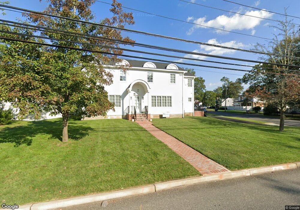
511 Monmouth Rd Allenhurst, NJ 07711
Estimated Value: $1,058,000 - $1,535,000
4
Beds
3
Baths
1,870
Sq Ft
$709/Sq Ft
Est. Value
About This Home
This home is located at 511 Monmouth Rd, Allenhurst, NJ 07711 and is currently estimated at $1,326,327, approximately $709 per square foot. 511 Monmouth Rd is a home located in Monmouth County with nearby schools including Ocean Township High School, Hope Academy Charter School, and St. Mary of the Assumption School.
Ownership History
Date
Name
Owned For
Owner Type
Purchase Details
Closed on
Feb 18, 2025
Sold by
Abady Solomon
Bought by
Abady Solomon and Abady Joseph
Current Estimated Value
Purchase Details
Closed on
Jun 12, 2004
Sold by
Lynch Melissa
Bought by
Abady Solomon
Home Financials for this Owner
Home Financials are based on the most recent Mortgage that was taken out on this home.
Original Mortgage
$318,600
Interest Rate
6.25%
Mortgage Type
Purchase Money Mortgage
Purchase Details
Closed on
Sep 28, 2001
Sold by
Rutledge Linda
Bought by
Lynch Brian and Lynch Melissa
Home Financials for this Owner
Home Financials are based on the most recent Mortgage that was taken out on this home.
Original Mortgage
$216,000
Interest Rate
6.89%
Mortgage Type
Purchase Money Mortgage
Create a Home Valuation Report for This Property
The Home Valuation Report is an in-depth analysis detailing your home's value as well as a comparison with similar homes in the area
Home Values in the Area
Average Home Value in this Area
Purchase History
| Date | Buyer | Sale Price | Title Company |
|---|---|---|---|
| Abady Solomon | -- | None Listed On Document | |
| Abady Solomon | -- | None Listed On Document | |
| Abady Solomon | $354,000 | -- | |
| Lynch Brian | $240,000 | -- |
Source: Public Records
Mortgage History
| Date | Status | Borrower | Loan Amount |
|---|---|---|---|
| Previous Owner | Abady Solomon | $318,600 | |
| Previous Owner | Lynch Brian | $216,000 |
Source: Public Records
Tax History Compared to Growth
Tax History
| Year | Tax Paid | Tax Assessment Tax Assessment Total Assessment is a certain percentage of the fair market value that is determined by local assessors to be the total taxable value of land and additions on the property. | Land | Improvement |
|---|---|---|---|---|
| 2025 | $11,624 | $846,200 | $770,100 | $76,100 |
| 2024 | $14,421 | $800,000 | $600,000 | $200,000 |
| 2023 | $14,421 | $926,200 | $727,900 | $198,300 |
| 2022 | $10,223 | $605,400 | $416,600 | $188,800 |
| 2021 | $10,223 | $510,400 | $348,300 | $162,100 |
| 2020 | $9,642 | $475,200 | $316,800 | $158,400 |
| 2019 | $8,833 | $425,500 | $268,000 | $157,500 |
| 2018 | $8,152 | $382,200 | $232,000 | $150,200 |
| 2017 | $8,271 | $386,300 | $232,000 | $154,300 |
| 2016 | $7,429 | $311,900 | $182,500 | $129,400 |
| 2015 | $7,255 | $308,600 | $182,500 | $126,100 |
| 2014 | $7,522 | $324,800 | $200,500 | $124,300 |
Source: Public Records
Map
Nearby Homes
- 621 Myrtle Ave
- 515 Monmonth Rd
- 515 Monmouth Rd
- 622 Palmer Ave
- 505 Monmouth Rd
- 510 Monmouth Rd
- 620 Myrtle Ave
- 617 Myrtle Ave
- 606 Palmer Ave
- 514 Monmouth Rd
- 618 Palmer Ave
- 502 Monmouth Rd
- 742 Myrtle Ave
- 618 Myrtle Ave
- 711 Myrtle Ave
- 625 Palmer Ave
- 533 Monmouth Rd
- 619 Corlies Ave
- 707 Corlies Ave
- 621 Palmer Ave