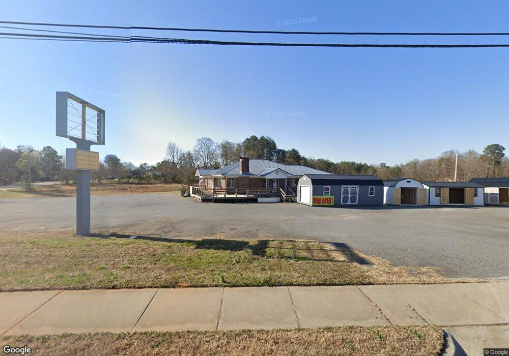
511 Oak St Forest City, NC 28043
Estimated Value: $499,869
3
Beds
1
Bath
1,696
Sq Ft
$295/Sq Ft
Est. Value
About This Home
This home is located at 511 Oak St, Forest City, NC 28043 and is currently estimated at $499,869, approximately $294 per square foot. 511 Oak St is a home located in Rutherford County with nearby schools including Forest City-Dunbar Elementary School, East Rutherford Middle School, and East Rutherford High School.
Ownership History
Date
Name
Owned For
Owner Type
Purchase Details
Closed on
Sep 26, 2023
Sold by
Godfrey-Lail Properties Llc
Bought by
Mcswain Heath
Current Estimated Value
Purchase Details
Closed on
Feb 14, 2017
Sold by
Td Bank Na
Bought by
Godfrey Lail Properties Llc
Home Financials for this Owner
Home Financials are based on the most recent Mortgage that was taken out on this home.
Original Mortgage
$174,250
Interest Rate
4.09%
Mortgage Type
New Conventional
Purchase Details
Closed on
Jan 18, 2005
Sold by
Thompson Stinson and Thompson Shirley
Bought by
Thompson Stinson and Thompson Shirley
Create a Home Valuation Report for This Property
The Home Valuation Report is an in-depth analysis detailing your home's value as well as a comparison with similar homes in the area
Home Values in the Area
Average Home Value in this Area
Purchase History
| Date | Buyer | Sale Price | Title Company |
|---|---|---|---|
| Mcswain Heath | $465,000 | None Listed On Document | |
| Mcswain Heath | $465,000 | None Listed On Document | |
| Godfrey Lail Properties Llc | $205,000 | None Available | |
| Thompson Stinson | -- | None Avelable |
Source: Public Records
Mortgage History
| Date | Status | Borrower | Loan Amount |
|---|---|---|---|
| Previous Owner | Godfrey Lail Properties Llc | $174,250 |
Source: Public Records
Tax History Compared to Growth
Tax History
| Year | Tax Paid | Tax Assessment Tax Assessment Total Assessment is a certain percentage of the fair market value that is determined by local assessors to be the total taxable value of land and additions on the property. | Land | Improvement |
|---|---|---|---|---|
| 2025 | $7,525 | $712,200 | $582,400 | $129,800 |
| 2024 | $7,424 | $712,200 | $582,400 | $129,800 |
| 2023 | $8,502 | $712,200 | $582,400 | $129,800 |
| 2022 | $8,502 | $714,900 | $582,400 | $132,500 |
| 2021 | $6,286 | $714,900 | $582,400 | $132,500 |
| 2020 | $6,286 | $714,900 | $582,400 | $132,500 |
| 2019 | $6,270 | $714,900 | $582,400 | $132,500 |
| 2018 | $6,135 | $683,900 | $582,400 | $101,500 |
| 2016 | $6,135 | $683,900 | $582,400 | $101,500 |
Source: Public Records
Map
Nearby Homes
- 0 Hardin Rd
- 0000 Butler Rd
- 0 Commercial Dr Unit CAR4102089
- Lot 23 Commercial Dr
- Lot 19 Commercial Dr
- Lot 20 Commercial Dr
- Lot 21 Commercial Dr
- Lot 22 Commercial Dr
- 230 Mcarthur St
- 168 Collins Ave
- 183 Caldwell St
- TBA W Main St
- 311 Franklin Dr
- 0 Gettys St
- 108 W Spruce St
- 00 Lawing Rd
- 179 Sedgefield Dr
- 148 Westhaven St
- 99999 Main St
- 229 W Liberty St