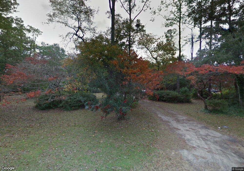
5119 Holly Ln Morehead City, NC 28557
Estimated Value: $915,000 - $2,557,000
4
Beds
3
Baths
2,644
Sq Ft
$580/Sq Ft
Est. Value
About This Home
This home is located at 5119 Holly Ln, Morehead City, NC 28557 and is currently estimated at $1,533,439, approximately $579 per square foot. 5119 Holly Ln is a home located in Carteret County with nearby schools including Morehead City Primary School, Morehead Elementary School at Camp Glenn, and Morehead City Middle School.
Ownership History
Date
Name
Owned For
Owner Type
Purchase Details
Closed on
Aug 30, 2017
Sold by
Mcniel David Elton
Bought by
Mcniel David Elton and Mcniel Gloria B
Current Estimated Value
Purchase Details
Closed on
Mar 5, 2015
Sold by
Mcniel Dorothy Dolores
Bought by
Mcniel Dorothy Dolores and The Dorothy Dolores Mcniel Revocable Tru
Purchase Details
Closed on
Jan 22, 2010
Sold by
Mcniel Dorothy D
Bought by
Mcniel David Elton and Mcniel Gloria B
Create a Home Valuation Report for This Property
The Home Valuation Report is an in-depth analysis detailing your home's value as well as a comparison with similar homes in the area
Home Values in the Area
Average Home Value in this Area
Purchase History
| Date | Buyer | Sale Price | Title Company |
|---|---|---|---|
| Mcniel David Elton | -- | None Available | |
| Mcniel Dorothy Dolores | -- | Attorney | |
| Mcniel Dorothy Dolores | $24,000 | Attorney | |
| Mcniel David Elton | -- | None Available |
Source: Public Records
Tax History Compared to Growth
Tax History
| Year | Tax Paid | Tax Assessment Tax Assessment Total Assessment is a certain percentage of the fair market value that is determined by local assessors to be the total taxable value of land and additions on the property. | Land | Improvement |
|---|---|---|---|---|
| 2025 | $12,212 | $2,134,567 | $1,786,369 | $348,198 |
| 2024 | $7,065 | $928,956 | $753,257 | $175,699 |
| 2023 | $3,173 | $928,956 | $753,257 | $175,699 |
| 2022 | $3,081 | $928,956 | $753,257 | $175,699 |
| 2021 | $3,081 | $928,956 | $753,257 | $175,699 |
| 2020 | $3,081 | $928,956 | $753,257 | $175,699 |
| 2019 | $3,125 | $1,003,243 | $801,189 | $202,054 |
| 2017 | $3,125 | $1,003,243 | $801,189 | $202,054 |
| 2016 | $3,125 | $1,003,243 | $801,189 | $202,054 |
| 2015 | $3,025 | $1,003,243 | $801,189 | $202,054 |
| 2014 | $2,080 | $688,374 | $468,750 | $219,624 |
Source: Public Records
Map
Nearby Homes
- 218 Larkin St
- 116 Hodges St
- 5217 Driftwood Ln
- 117 Hodges St
- 150 Lands End Rd Unit A33
- 4737 S Shore Dr
- 4717 S Shore
- 114 Luther Rd
- 205 Roanoke Ave
- 209 Coventry Rd
- 207 Coventry Rd
- 203 Pensacola Ave
- 201 Pensacola Ave
- 4319 Coral Point Rd
- 202 Nottingham Ln
- 4425 Arendell St Unit Boat Slip 43
- 4425 Arendell St Unit 609
- 4425 Arendell St Unit 105 & Slip 38
- 4425 Arendell St Unit Boat Slip 42
- 4425 Arendell St Unit 303 Harborside Club
