512 Mowery Ave NW Cokato, MN 55321
Estimated Value: $867,000 - $1,236,165
5
Beds
4
Baths
3,317
Sq Ft
$301/Sq Ft
Est. Value
About This Home
This home is located at 512 Mowery Ave NW, Cokato, MN 55321 and is currently estimated at $1,000,055, approximately $301 per square foot. 512 Mowery Ave NW is a home with nearby schools including Dassel-Cokato Senior High School.
Ownership History
Date
Name
Owned For
Owner Type
Purchase Details
Closed on
Oct 26, 2020
Sold by
Koivisto Gregory Carl and Koivisto Shanna B
Bought by
Koivisto Gregory Carl and Koivisto Shanna B
Current Estimated Value
Home Financials for this Owner
Home Financials are based on the most recent Mortgage that was taken out on this home.
Original Mortgage
$324,000
Outstanding Balance
$288,831
Interest Rate
2.9%
Mortgage Type
New Conventional
Estimated Equity
$711,224
Create a Home Valuation Report for This Property
The Home Valuation Report is an in-depth analysis detailing your home's value as well as a comparison with similar homes in the area
Home Values in the Area
Average Home Value in this Area
Purchase History
| Date | Buyer | Sale Price | Title Company |
|---|---|---|---|
| Koivisto Gregory Carl | -- | Title Mark Llc |
Source: Public Records
Mortgage History
| Date | Status | Borrower | Loan Amount |
|---|---|---|---|
| Open | Koivisto Gregory Carl | $324,000 |
Source: Public Records
Tax History Compared to Growth
Tax History
| Year | Tax Paid | Tax Assessment Tax Assessment Total Assessment is a certain percentage of the fair market value that is determined by local assessors to be the total taxable value of land and additions on the property. | Land | Improvement |
|---|---|---|---|---|
| 2025 | $5,298 | $993,700 | $386,800 | $606,900 |
| 2024 | $5,000 | $839,600 | $362,900 | $476,700 |
| 2023 | $4,518 | $868,000 | $369,400 | $498,600 |
| 2022 | $5,096 | $653,700 | $239,000 | $414,700 |
| 2021 | $5,520 | $613,000 | $219,600 | $393,400 |
| 2020 | $5,242 | $592,900 | $204,100 | $388,800 |
| 2019 | $5,058 | $62,400 | $0 | $0 |
| 2018 | $4,092 | $84,300 | $0 | $0 |
| 2017 | $2,674 | $504,400 | $0 | $0 |
| 2016 | $1,108 | $0 | $0 | $0 |
| 2015 | $1,094 | $0 | $0 | $0 |
| 2014 | -- | $0 | $0 | $0 |
Source: Public Records
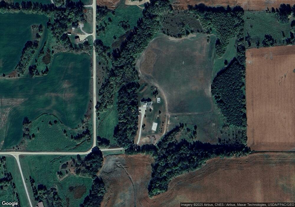
Map
Nearby Homes
- 12814 County Road 35 W
- 345 County Highway 4 SW
- 431 County Highway 4 SW
- 1794 Lawrence Cir NW
- 2945 County Road 4 #411 SW
- 2945 County Road 4 Unit 321 SW
- 2945 County Road 4 #144 SW
- 2945 County Road 4 #151 SW
- 2945 County Road 4 #63 SW
- 2945 County Road 4 #119 SW
- 2945 County Road 4 SW Unit 426
- 2945 County Road 4 SW Unit 522
- 2945 County Road 4 SW Unit 109
- 2945 County Road 4 SW Unit 236
- 2945 County Road 4 SW Unit 521
- 2945 County Road 4 SW Unit 341
- 2945 County Road 4 SW Unit 65
- 2945 County Road 4 SW Unit 118
- 2945 County Road 4 SW Unit 428
- 2945 County Road 4 SW Unit 327
- 729 Mowery Ave NW
- 910 Mowery Ave NW
- 12855 5th St NW
- xxxxx County Road 35 W (Parc #1)
- 763 Mowery Ave NW
- 12947 5th St NW
- 775 Mowery Ave NW
- 12692 10th St NW
- 12758 10th St NW
- 13172 5th St NW
- 12664 County Road 35 W
- 13140 County Road 35 W
- 1663X County Road 35 W
- 12851 County Road 35 W
- 527 Mitchell Ave NW
- 13263 10th St NW
- 493 Newcomb Ave NW
- 10XX County Road 4 SW
- 1267 Mowery Ave NW
- 36 County Road 4 SW