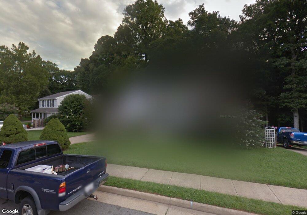
5121 Bradfield Dr Annandale, VA 22003
Estimated Value: $770,000 - $829,042
4
Beds
3
Baths
1,728
Sq Ft
$458/Sq Ft
Est. Value
About This Home
This home is located at 5121 Bradfield Dr, Annandale, VA 22003 and is currently estimated at $791,011, approximately $457 per square foot. 5121 Bradfield Dr is a home located in Fairfax County with nearby schools including Little Run Elementary School, Frost Middle School, and W. T. Woodson High School.
Ownership History
Date
Name
Owned For
Owner Type
Purchase Details
Closed on
Sep 15, 2011
Sold by
Vancamp Gabrielle M and Vancamp Richard
Bought by
Kidd Deborah C and Bloom Adam L
Current Estimated Value
Home Financials for this Owner
Home Financials are based on the most recent Mortgage that was taken out on this home.
Original Mortgage
$292,000
Outstanding Balance
$201,102
Interest Rate
4.38%
Mortgage Type
New Conventional
Estimated Equity
$589,909
Purchase Details
Closed on
Dec 6, 1999
Sold by
Vancamp Richard
Bought by
Vancamp Gordon A
Home Financials for this Owner
Home Financials are based on the most recent Mortgage that was taken out on this home.
Original Mortgage
$170,000
Interest Rate
7.61%
Create a Home Valuation Report for This Property
The Home Valuation Report is an in-depth analysis detailing your home's value as well as a comparison with similar homes in the area
Home Values in the Area
Average Home Value in this Area
Purchase History
| Date | Buyer | Sale Price | Title Company |
|---|---|---|---|
| Kidd Deborah C | $365,000 | -- | |
| Vancamp Gordon A | $215,000 | -- |
Source: Public Records
Mortgage History
| Date | Status | Borrower | Loan Amount |
|---|---|---|---|
| Open | Kidd Deborah C | $292,000 | |
| Previous Owner | Vancamp Gordon A | $170,000 |
Source: Public Records
Tax History Compared to Growth
Tax History
| Year | Tax Paid | Tax Assessment Tax Assessment Total Assessment is a certain percentage of the fair market value that is determined by local assessors to be the total taxable value of land and additions on the property. | Land | Improvement |
|---|---|---|---|---|
| 2025 | $8,670 | $767,190 | $315,000 | $452,190 |
| 2024 | $8,670 | $748,410 | $300,000 | $448,410 |
| 2023 | $7,835 | $694,260 | $280,000 | $414,260 |
| 2022 | $7,336 | $641,530 | $260,000 | $381,530 |
| 2021 | $7,106 | $605,570 | $250,000 | $355,570 |
| 2020 | $6,899 | $582,890 | $241,000 | $341,890 |
| 2019 | $6,615 | $558,930 | $227,000 | $331,930 |
| 2018 | $5,903 | $513,340 | $206,000 | $307,340 |
| 2017 | $5,960 | $513,340 | $206,000 | $307,340 |
| 2016 | $5,947 | $513,340 | $206,000 | $307,340 |
| 2015 | $5,729 | $513,340 | $206,000 | $307,340 |
| 2014 | $5,649 | $507,340 | $200,000 | $307,340 |
Source: Public Records
Map
Nearby Homes
- 5055 Kenerson Dr
- 5009 King David Blvd
- 4903 King David Blvd
- 5254 Queens Wood Dr
- 5307 Amber Ct
- 5090 Queens Wood Dr
- 5112 Linette Ln
- 4721 Springbrook Dr
- 5037 Head Ct
- 5103 Cicero Ct
- 8909 Victoria Rd
- 4869 Nash Dr
- 4906 Mcfarland Dr
- 9513 Burdett Rd
- 8928 Cheltonham Place
- 9109 Parliament Dr
- 9009 Digory Ct
- 4512 Sleaford Rd
- 5606 Tilia Ct
- 5608 Doolittle St
- 5119 Bradfield Dr
- 5125 Bradfield Dr
- 5123 Bradfield Dr
- 5117 Bradfield Dr
- 5101 Bradfield Ct
- 5127 Bradfield Dr
- 5100 Bradfield Ct
- 5124 Bradfield Dr
- 9202 Burnetta Dr
- 5115 Bradfield Dr
- 5129 Bradfield Dr
- 5114 Bradfield Dr
- 5103 Bradfield Ct
- 5128 Bradfield Dr
- 5102 Bradfield Ct
- 5133 Bradfield Dr
- 5131 Bradfield Dr
- 9206 Burnetta Dr
- 9204 Burnetta Dr
- 5112 Bradfield Dr