5122 Newport Ct Rochester, MI 48306
Estimated Value: $714,540 - $859,000
3
Beds
4
Baths
2,594
Sq Ft
$303/Sq Ft
Est. Value
About This Home
This home is located at 5122 Newport Ct, Rochester, MI 48306 and is currently estimated at $787,135, approximately $303 per square foot. 5122 Newport Ct is a home located in Oakland County with nearby schools including Delta Kelly Elementary School, Van Hoosen Middle School, and Rochester Adams High School.
Ownership History
Date
Name
Owned For
Owner Type
Purchase Details
Closed on
Sep 30, 2019
Sold by
Preston James D and Preston Judith A
Bought by
James D Preston Revocable Trust
Current Estimated Value
Purchase Details
Closed on
Mar 9, 2018
Sold by
Preston James D
Bought by
Preston James D and Preston Judith A
Purchase Details
Closed on
Aug 5, 2016
Sold by
Preston James D and Preston Judith A
Bought by
The James D Preston Revocable Living Tr
Purchase Details
Closed on
May 17, 2005
Sold by
Kirklands/Adams Development Llc
Bought by
Cloisters Development Llc
Create a Home Valuation Report for This Property
The Home Valuation Report is an in-depth analysis detailing your home's value as well as a comparison with similar homes in the area
Home Values in the Area
Average Home Value in this Area
Purchase History
| Date | Buyer | Sale Price | Title Company |
|---|---|---|---|
| James D Preston Revocable Trust | -- | None Available | |
| Preston James D | -- | None Available | |
| The James D Preston Revocable Living Tr | -- | None Available | |
| Cloisters Development Llc | -- | Greco | |
| Preston James D | -- | Greco |
Source: Public Records
Tax History Compared to Growth
Tax History
| Year | Tax Paid | Tax Assessment Tax Assessment Total Assessment is a certain percentage of the fair market value that is determined by local assessors to be the total taxable value of land and additions on the property. | Land | Improvement |
|---|---|---|---|---|
| 2024 | $3,866 | $308,250 | $0 | $0 |
| 2023 | $5,779 | $291,520 | $0 | $0 |
| 2022 | $9,473 | $289,890 | $0 | $0 |
| 2021 | $8,933 | $312,560 | $0 | $0 |
| 2020 | $5,466 | $323,340 | $0 | $0 |
| 2019 | $9,134 | $316,970 | $0 | $0 |
| 2018 | $9,077 | $314,160 | $0 | $0 |
| 2017 | $8,920 | $302,430 | $0 | $0 |
| 2016 | $8,861 | $284,800 | $0 | $0 |
| 2015 | -- | $264,640 | $0 | $0 |
| 2014 | -- | $234,400 | $0 | $0 |
| 2011 | -- | $177,940 | $0 | $0 |
Source: Public Records
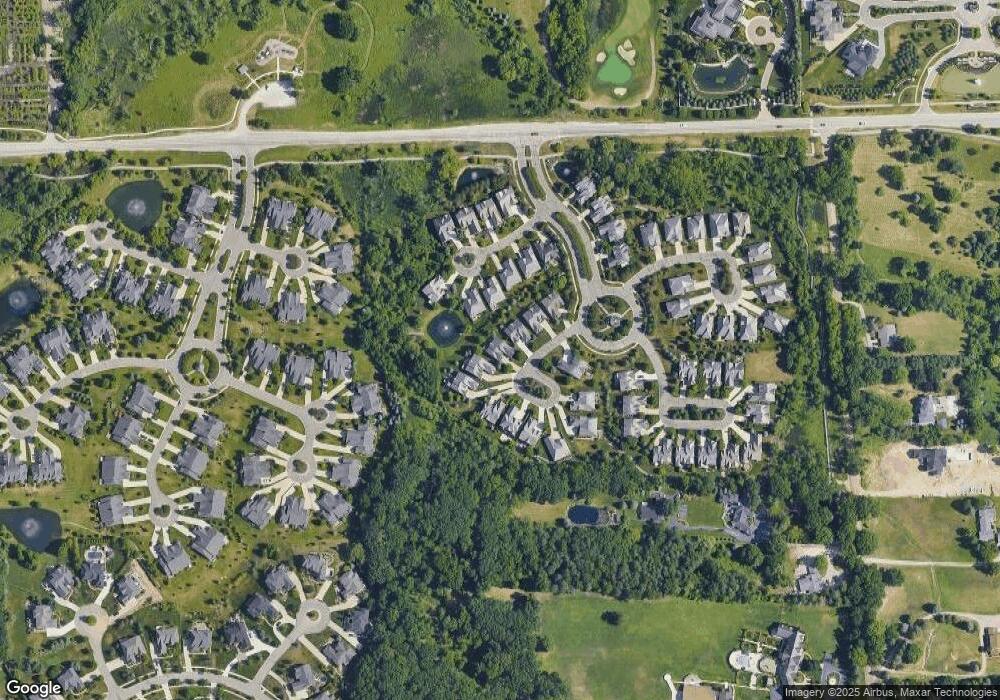
Map
Nearby Homes
- 2750 Castlemartin Ct Unit 22
- 2794 Castlemartin Ct
- 2879 Hastings Ct Unit 73
- 5350 Brewster Rd
- 1701 Silver Bell Rd
- 0000 Silver Bell Rd
- 4740 Pinnacle Blvd
- 4554 Pinnacle Blvd
- 4683 Pinnacle Blvd
- 4512 Pinnacle Blvd
- 4592 Pinnacle Blvd
- 4701 Pinnacle Blvd
- 2821 Addison Cir S
- 3137 Silverbrook Dr
- 5724 Murfield Dr
- 3141 Bridlewood Dr Unit 19
- 3185 Saint James Ct
- 2584 Heights View Ct
- 5826 Murfield Dr
- 3582 Tremonte Cir S Unit 276
- 5130 Newport Ct
- 5130 Newport Ct Unit 40
- 5110 Newport Ct
- 2699 Monarch Ct
- 5136 Newport Ct
- 5100 Newport Ct
- 5144 Newport Ct
- 5094 Newport Ct
- 2721 Monarch Ct
- 5152 Newport Ct Unit Bldg-Unit
- 5152 Newport Ct
- 5111 Newport Ct Unit 32
- 5111 Newport Ct
- 2667 Monarch Ct
- 5141 Newport Ct
- 2655 Monarch Ct
- 5170 Newport Ct
- 2696 Monarch Ct
- 2686 Monarch Ct Unit 52
- 2670 Monarch Ct Unit 53