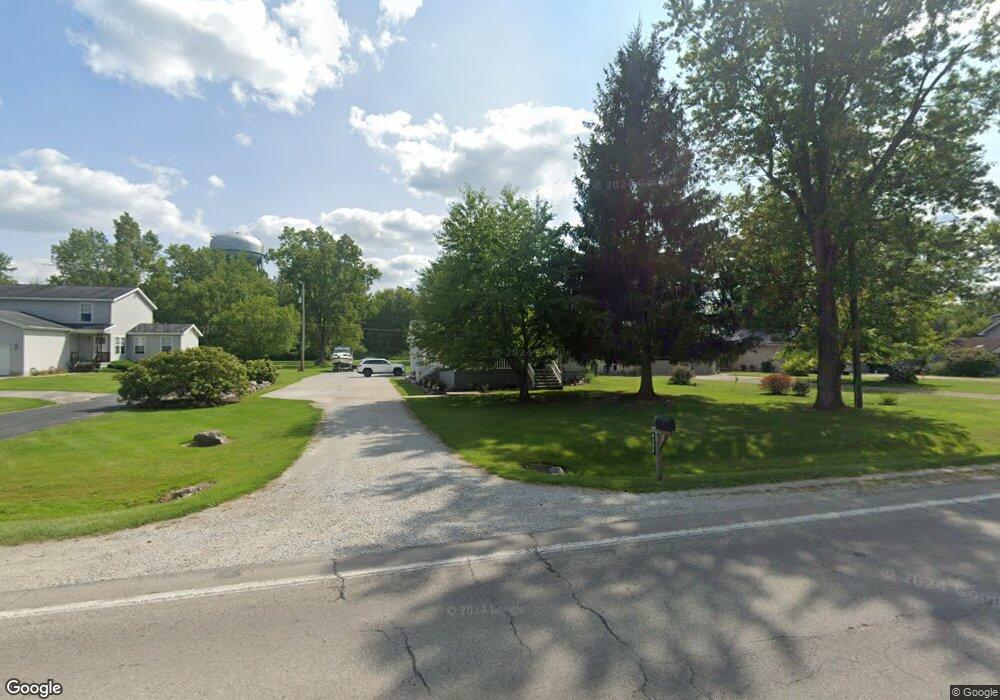
5125 Griswold Rd Kimball, MI 48074
Estimated Value: $171,000 - $245,000
2
Beds
1
Bath
1,032
Sq Ft
$207/Sq Ft
Est. Value
About This Home
This home is located at 5125 Griswold Rd, Kimball, MI 48074 and is currently estimated at $214,001, approximately $207 per square foot. 5125 Griswold Rd is a home located in St. Clair County with nearby schools including Kimball Elementary School, Central Middle School, and Port Huron High School.
Ownership History
Date
Name
Owned For
Owner Type
Purchase Details
Closed on
May 13, 2014
Sold by
Mckeand Scott and Mckeand Ardythe D
Bought by
Hubbard Eric C and Hubbard Ronda S
Current Estimated Value
Home Financials for this Owner
Home Financials are based on the most recent Mortgage that was taken out on this home.
Original Mortgage
$85,470
Outstanding Balance
$65,163
Interest Rate
4.34%
Mortgage Type
FHA
Estimated Equity
$148,839
Purchase Details
Closed on
Feb 16, 2010
Sold by
Jpmorgan Chase Bank National Association
Bought by
Federal National Mortgage Association
Purchase Details
Closed on
Feb 11, 2010
Sold by
Simerson Richard W and Simerson Penny
Bought by
Jpmorgan Chase Bank National Association
Create a Home Valuation Report for This Property
The Home Valuation Report is an in-depth analysis detailing your home's value as well as a comparison with similar homes in the area
Home Values in the Area
Average Home Value in this Area
Purchase History
| Date | Buyer | Sale Price | Title Company |
|---|---|---|---|
| Hubbard Eric C | $67,000 | Attorneys Title Agency Llc | |
| Federal National Mortgage Association | -- | None Available | |
| Jpmorgan Chase Bank National Association | $98,798 | None Available |
Source: Public Records
Mortgage History
| Date | Status | Borrower | Loan Amount |
|---|---|---|---|
| Open | Hubbard Eric C | $85,470 |
Source: Public Records
Tax History Compared to Growth
Tax History
| Year | Tax Paid | Tax Assessment Tax Assessment Total Assessment is a certain percentage of the fair market value that is determined by local assessors to be the total taxable value of land and additions on the property. | Land | Improvement |
|---|---|---|---|---|
| 2025 | $2,045 | $113,700 | $0 | $0 |
| 2024 | $1,137 | $105,800 | $0 | $0 |
| 2023 | $1,041 | $101,800 | $0 | $0 |
| 2022 | $2,183 | $90,800 | $0 | $0 |
| 2021 | $2,060 | $85,800 | $0 | $0 |
| 2020 | $2,060 | $83,900 | $83,900 | $0 |
| 2019 | $1,692 | $71,800 | $0 | $0 |
| 2018 | $1,836 | $64,000 | $0 | $0 |
| 2017 | $1,626 | $69,200 | $0 | $0 |
| 2016 | $948 | $69,200 | $0 | $0 |
| 2015 | -- | $67,700 | $67,700 | $0 |
| 2014 | -- | $45,400 | $45,400 | $0 |
| 2013 | -- | $53,600 | $0 | $0 |
Source: Public Records
Map
Nearby Homes
- 1979 Allen Rd
- V/L Allen
- 1701 Allen Rd
- 1830 Leland Rd
- 1604 Allen Rd
- 0 Allen Rd Unit 20250008597
- 0 Allen Rd Unit 20250008612
- 00 Howard Rd
- 5510 Griswold Rd
- 4632 Cloverdale Ln
- 1876 Morningstar Ave
- 4595 Griswold Rd
- 0 Wadhams Rd Unit 50155021
- 0000 Range Rd
- 2007 Edward Ln E
- 1405 Range Rd
- 2022 Edward Ln W
- 2047 Edward Ln E
- 2019 Edward Ln E
- 00 Range Rd
- 1976 Maple Rd
- 1980 Maple Rd
- 5135 Griswold Rd
- 5117 Griswold Rd
- 5115 Griswold Rd
- 5105 Griswold Rd
- 5145 Griswold Rd
- 5155 Griswold Rd
- 1934 Maple Rd
- 5097 Griswold Rd
- 00 Vac Carman
- 5159 Griswold Rd
- 1928 Maple Rd
- 5118 Griswold Rd
- 5085 Griswold Rd
- 5165 Griswold Rd
- 5112 Griswold Rd
- 5136 Griswold Rd
- 5077 Griswold Rd
- 5148 Griswold Rd