513 Daryl Dr Medford, NY 11763
Estimated Value: $336,896 - $359,000
2
Beds
1
Bath
808
Sq Ft
$433/Sq Ft
Est. Value
About This Home
This home is located at 513 Daryl Dr, Medford, NY 11763 and is currently estimated at $350,224, approximately $433 per square foot. 513 Daryl Dr is a home located in Suffolk County with nearby schools including Patchogue-Medford High School.
Ownership History
Date
Name
Owned For
Owner Type
Purchase Details
Closed on
Feb 17, 2017
Sold by
Tutino Philip R and Tutino Steven P
Bought by
Curry Jami
Current Estimated Value
Home Financials for this Owner
Home Financials are based on the most recent Mortgage that was taken out on this home.
Original Mortgage
$10,000
Outstanding Balance
$8,274
Interest Rate
4.09%
Mortgage Type
Second Mortgage Made To Cover Down Payment
Estimated Equity
$341,950
Purchase Details
Closed on
May 3, 2001
Sold by
Poerio Mary Ann and Mulvihill Mary Ann
Bought by
Morello Rose M
Create a Home Valuation Report for This Property
The Home Valuation Report is an in-depth analysis detailing your home's value as well as a comparison with similar homes in the area
Home Values in the Area
Average Home Value in this Area
Purchase History
| Date | Buyer | Sale Price | Title Company |
|---|---|---|---|
| Curry Jami | $192,000 | Safe Harbor Title Agency Ltd | |
| Morello Rose M | $115,000 | -- |
Source: Public Records
Mortgage History
| Date | Status | Borrower | Loan Amount |
|---|---|---|---|
| Open | Curry Jami | $10,000 | |
| Open | Curry Jami | $175,010 |
Source: Public Records
Tax History Compared to Growth
Tax History
| Year | Tax Paid | Tax Assessment Tax Assessment Total Assessment is a certain percentage of the fair market value that is determined by local assessors to be the total taxable value of land and additions on the property. | Land | Improvement |
|---|---|---|---|---|
| 2024 | $3,752 | $890 | $220 | $670 |
| 2023 | $3,752 | $890 | $220 | $670 |
| 2022 | $3,360 | $890 | $220 | $670 |
| 2021 | $3,360 | $890 | $220 | $670 |
| 2020 | $3,453 | $890 | $220 | $670 |
| 2019 | $3,453 | $0 | $0 | $0 |
| 2018 | $3,250 | $890 | $220 | $670 |
| 2017 | $3,250 | $890 | $220 | $670 |
| 2016 | $3,185 | $890 | $220 | $670 |
| 2015 | -- | $890 | $220 | $670 |
| 2014 | -- | $890 | $220 | $670 |
Source: Public Records
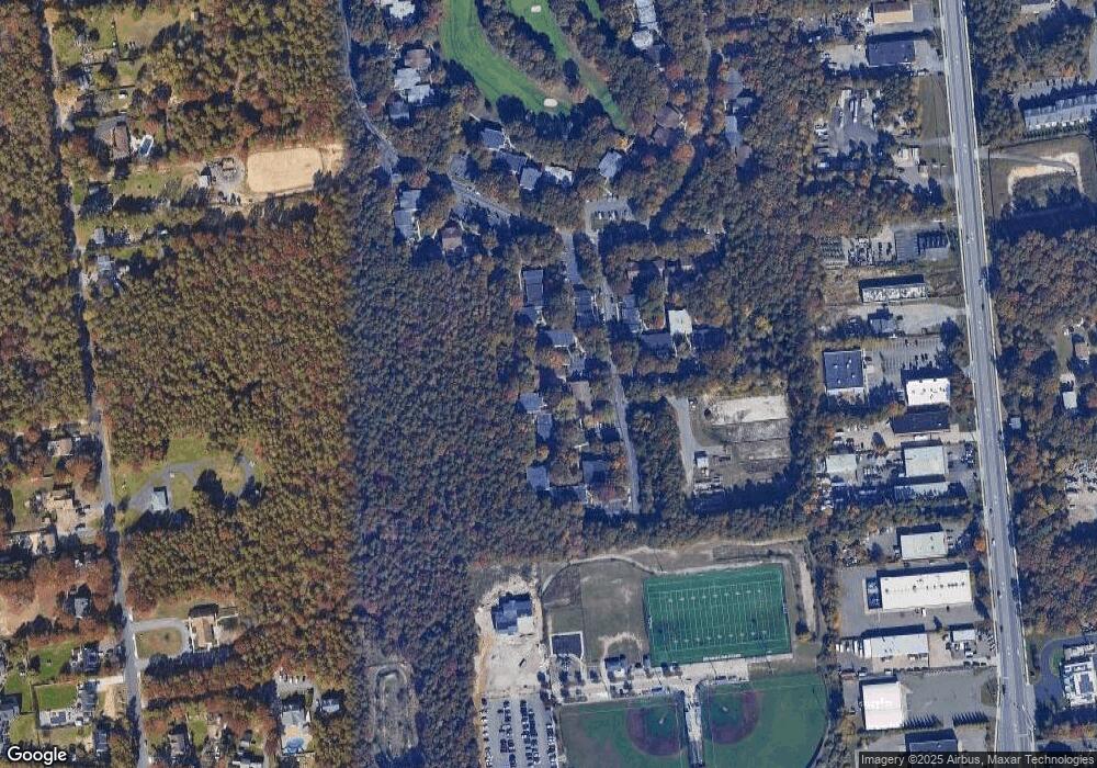
Map
Nearby Homes
- 497 Daryl Dr
- 409 Birchwood Rd
- 392 Birchwood Rd
- 634 W End Dr
- 673 Blue Ridge Dr
- 91 Fairmont Ave
- 260 Birchwood Rd
- 1301 Race Ave
- 1300 Race Ave
- 2816 Acorn Ave
- 247 Birchwood Rd
- 753 Blue Ridge Dr
- 24 Oakdale Ave
- 840 Golf Ln
- 862 Birchwood Rd
- 2905 Beechnut Ave
- 137 Golf Ln
- 784 Blue Ridge Dr
- 1600 Fire Ave
- 241 Middle Island Rd
- 516 Daryl Dr
- 509 Daryl Dr
- 510 Daryl Dr
- 510 Daryl Dr Unit 1
- 517 Daryl Dr
- 507 Daryl Dr
- 528 Daryl Dr Unit 528
- 506 Daryl Dr
- 520 Daryl Dr Unit 520
- 530 Daryl Dr
- 531 Daryl Dr Unit 531
- 533 Daryl Dr
- 503 Daryl Dr
- 503 Daryl Dr Unit Pp22
- 521 Daryl Dr
- 488 Daryl Dr
- 500 Daryl Dr
- 498 Daryl Dr
- 482 Daryl Dr
- 535 Daryl Dr