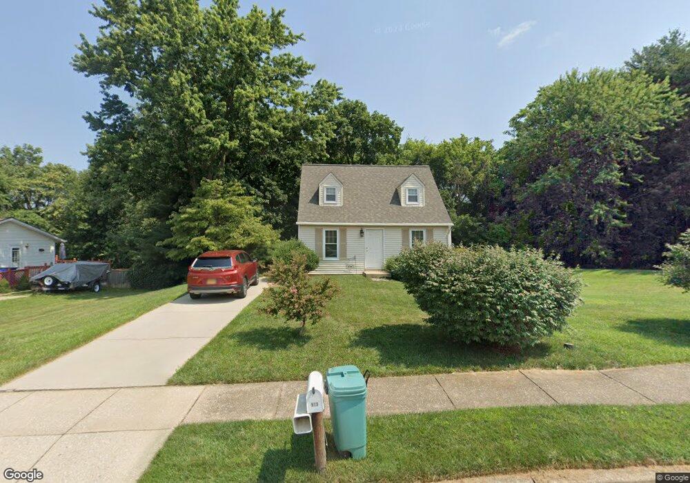
513 Lewis Ct Mount Airy, MD 21771
Estimated Value: $272,311 - $402,000
--
Bed
1
Bath
936
Sq Ft
$363/Sq Ft
Est. Value
About This Home
This home is located at 513 Lewis Ct, Mount Airy, MD 21771 and is currently estimated at $339,828, approximately $363 per square foot. 513 Lewis Ct is a home located in Carroll County with nearby schools including Parr's Ridge Elementary School, Mount Airy Elementary School, and Mount Airy Middle School.
Ownership History
Date
Name
Owned For
Owner Type
Purchase Details
Closed on
Dec 5, 1985
Sold by
Webb Robert Scott
Bought by
Roark Sandra L
Current Estimated Value
Home Financials for this Owner
Home Financials are based on the most recent Mortgage that was taken out on this home.
Original Mortgage
$57,000
Interest Rate
11.58%
Purchase Details
Closed on
Nov 26, 1982
Sold by
Frall Developers Inc
Bought by
Webb Robert Scott
Create a Home Valuation Report for This Property
The Home Valuation Report is an in-depth analysis detailing your home's value as well as a comparison with similar homes in the area
Home Values in the Area
Average Home Value in this Area
Purchase History
| Date | Buyer | Sale Price | Title Company |
|---|---|---|---|
| Roark Sandra L | $60,000 | -- | |
| Webb Robert Scott | $60,400 | -- |
Source: Public Records
Mortgage History
| Date | Status | Borrower | Loan Amount |
|---|---|---|---|
| Closed | Roark Sandra L | $57,000 |
Source: Public Records
Tax History Compared to Growth
Tax History
| Year | Tax Paid | Tax Assessment Tax Assessment Total Assessment is a certain percentage of the fair market value that is determined by local assessors to be the total taxable value of land and additions on the property. | Land | Improvement |
|---|---|---|---|---|
| 2025 | $2,689 | $229,500 | $0 | $0 |
| 2024 | $2,689 | $220,500 | $102,100 | $118,400 |
| 2023 | $2,598 | $215,800 | $0 | $0 |
| 2022 | $2,540 | $211,100 | $0 | $0 |
| 2021 | $5,013 | $206,400 | $92,100 | $114,300 |
| 2020 | $2,507 | $206,400 | $92,100 | $114,300 |
| 2019 | $2,675 | $206,400 | $92,100 | $114,300 |
| 2018 | $1,635 | $214,300 | $92,100 | $122,200 |
| 2017 | $2,510 | $208,867 | $0 | $0 |
| 2016 | -- | $203,433 | $0 | $0 |
| 2015 | -- | $198,000 | $0 | $0 |
| 2014 | -- | $198,000 | $0 | $0 |
Source: Public Records
Map
Nearby Homes
- 211 Carroll Ave
- .58+- ACRES Center St
- 902 Parade Ln
- 1010 Parade Ln
- 1402 Woodenbridge Ln
- 1410 Woodenbridge Ln
- 714 Robinwood Dr
- 33 N Towne Ct
- 7714 Walnut Ln
- 1103 Midvale Ave
- 1718 Trestle St
- 704 Meadow Field Ct
- 0 Dogwood Dr
- 1008 N Main St
- 807 Kingsbridge Terrace
- 208 East Rd
- 0 Watersville Rd Unit MDCR2019316
- 2016 Damon Dr
- 1003 Meadowgreen Dr
- 2305 Connor Cir