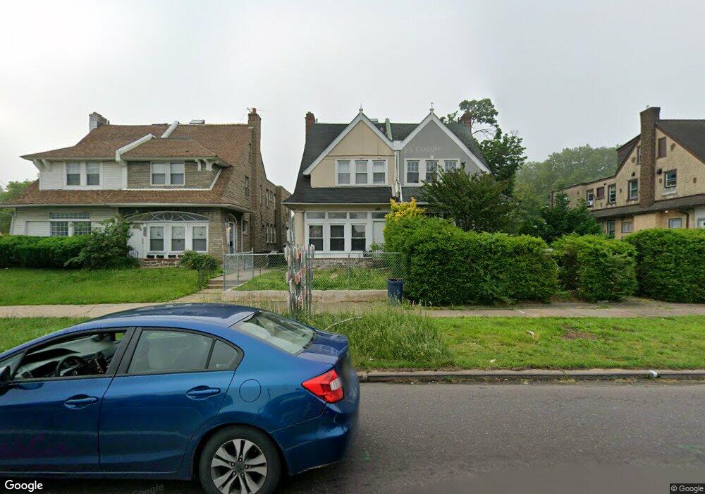
5131 Roosevelt Blvd Philadelphia, PA 19124
Lawncrest NeighborhoodEstimated Value: $280,000 - $406,000
--
Bed
--
Bath
2,485
Sq Ft
$133/Sq Ft
Est. Value
About This Home
This home is located at 5131 Roosevelt Blvd, Philadelphia, PA 19124 and is currently estimated at $331,732, approximately $133 per square foot. 5131 Roosevelt Blvd is a home located in Philadelphia County with nearby schools including Frankford High School, The Philadelphia Charter School for the Arts & Sciences, and Mastery Schools Smedley Elementary.
Ownership History
Date
Name
Owned For
Owner Type
Purchase Details
Closed on
Mar 13, 2001
Sold by
Wilches Myriam Y
Bought by
Wilches Javier O
Current Estimated Value
Home Financials for this Owner
Home Financials are based on the most recent Mortgage that was taken out on this home.
Original Mortgage
$54,000
Interest Rate
7.05%
Mortgage Type
Seller Take Back
Create a Home Valuation Report for This Property
The Home Valuation Report is an in-depth analysis detailing your home's value as well as a comparison with similar homes in the area
Home Values in the Area
Average Home Value in this Area
Purchase History
| Date | Buyer | Sale Price | Title Company |
|---|---|---|---|
| Wilches Javier O | -- | -- |
Source: Public Records
Mortgage History
| Date | Status | Borrower | Loan Amount |
|---|---|---|---|
| Previous Owner | Wilches Javier O | $54,000 |
Source: Public Records
Tax History Compared to Growth
Tax History
| Year | Tax Paid | Tax Assessment Tax Assessment Total Assessment is a certain percentage of the fair market value that is determined by local assessors to be the total taxable value of land and additions on the property. | Land | Improvement |
|---|---|---|---|---|
| 2026 | $3,375 | $270,500 | $54,100 | $216,400 |
| 2025 | $3,375 | $270,500 | $54,100 | $216,400 |
| 2024 | $3,375 | $270,500 | $54,100 | $216,400 |
| 2023 | $3,375 | $241,100 | $48,220 | $192,880 |
| 2022 | $2,895 | $241,100 | $48,220 | $192,880 |
| 2021 | $2,895 | $0 | $0 | $0 |
| 2020 | $2,895 | $0 | $0 | $0 |
| 2019 | $2,777 | $0 | $0 | $0 |
| 2018 | $2,690 | $0 | $0 | $0 |
| 2017 | $2,690 | $0 | $0 | $0 |
| 2016 | $2,690 | $0 | $0 | $0 |
| 2015 | $2,575 | $0 | $0 | $0 |
| 2014 | -- | $192,200 | $39,375 | $152,825 |
| 2012 | -- | $19,584 | $3,080 | $16,504 |
Source: Public Records
Map
Nearby Homes
- 1048 Bridge St
- 5505 Loretto Ave
- 5640 Miriam Rd
- 5659 Miriam Rd
- 5661 Miriam Rd
- 934 Brill St
- 4046 E Roosevelt Blvd
- 991 Carver St
- 996 Anchor St
- 934 E Sanger St
- 1137 Bridge St
- 894 Granite St
- 925 E Sanger St
- 880 Granite St
- 1204 Pratt St
- 894 E Sanger St
- 1225 E Cheltenham Ave
- 929 1/2 Anchor St
- 1052 Allengrove St
- 1211 E Cheltenham Ave
- 5133 Roosevelt Blvd
- 5133 E Roosevelt Blvd Unit 3F
- 5129 Roosevelt Blvd
- 5135 E Roosevelt Blvd
- 5135 Roosevelt Blvd
- 5123 Roosevelt Blvd
- 5121 Roosevelt Blvd
- 5121 E Roosevelt Blvd Unit 1
- 5121 E Roosevelt Blvd Unit 2
- 5121 E Roosevelt Blvd
- 5121 E Roosevelt Blvd Unit A
- 992 Pratt St
- 994 Pratt St
- 5119 Roosevelt Blvd
- 949 Kenwyn St
- 947 Kenwyn St
- 996 Pratt St
- 5117 Roosevelt Blvd
- 998 Pratt St
- 955 Kenwyn St