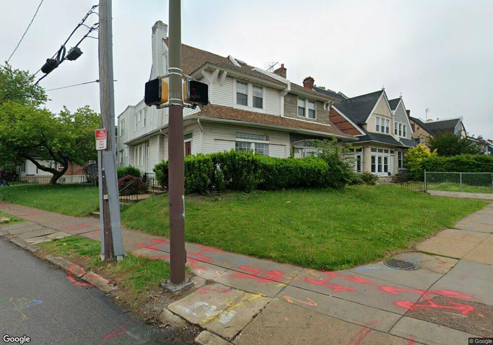
5133 Roosevelt Blvd Philadelphia, PA 19124
Lawncrest NeighborhoodEstimated Value: $275,031 - $303,000
--
Bed
--
Bath
2,485
Sq Ft
$115/Sq Ft
Est. Value
About This Home
This home is located at 5133 Roosevelt Blvd, Philadelphia, PA 19124 and is currently estimated at $286,344, approximately $115 per square foot. 5133 Roosevelt Blvd is a home located in Philadelphia County with nearby schools including Frankford High School, The Philadelphia Charter School for the Arts & Sciences, and Mastery Schools Smedley Elementary.
Ownership History
Date
Name
Owned For
Owner Type
Purchase Details
Closed on
Dec 19, 2003
Sold by
Gray Dawn and Estate Of Harold L Gray
Bought by
Caceres Ramon
Current Estimated Value
Home Financials for this Owner
Home Financials are based on the most recent Mortgage that was taken out on this home.
Original Mortgage
$65,600
Outstanding Balance
$30,159
Interest Rate
5.88%
Mortgage Type
Commercial
Estimated Equity
$256,185
Create a Home Valuation Report for This Property
The Home Valuation Report is an in-depth analysis detailing your home's value as well as a comparison with similar homes in the area
Home Values in the Area
Average Home Value in this Area
Purchase History
| Date | Buyer | Sale Price | Title Company |
|---|---|---|---|
| Caceres Ramon | $82,000 | -- |
Source: Public Records
Mortgage History
| Date | Status | Borrower | Loan Amount |
|---|---|---|---|
| Open | Caceres Ramon | $65,600 |
Source: Public Records
Tax History Compared to Growth
Tax History
| Year | Tax Paid | Tax Assessment Tax Assessment Total Assessment is a certain percentage of the fair market value that is determined by local assessors to be the total taxable value of land and additions on the property. | Land | Improvement |
|---|---|---|---|---|
| 2026 | $4,057 | $272,400 | $54,480 | $217,920 |
| 2025 | $4,057 | $272,400 | $54,480 | $217,920 |
| 2024 | $4,057 | $272,400 | $54,480 | $217,920 |
| 2023 | $4,057 | $289,800 | $57,960 | $231,840 |
| 2022 | $2,079 | $289,800 | $57,960 | $231,840 |
| 2021 | $2,079 | $0 | $0 | $0 |
| 2020 | $2,079 | $0 | $0 | $0 |
| 2019 | $1,995 | $0 | $0 | $0 |
| 2018 | $1,887 | $0 | $0 | $0 |
| 2017 | $1,887 | $0 | $0 | $0 |
| 2016 | $1,887 | $0 | $0 | $0 |
| 2015 | $1,806 | $0 | $0 | $0 |
| 2014 | -- | $134,800 | $39,526 | $95,274 |
| 2012 | -- | $18,656 | $2,842 | $15,814 |
Source: Public Records
Map
Nearby Homes
- 1048 Bridge St
- 5505 Loretto Ave
- 5640 Miriam Rd
- 5659 Miriam Rd
- 5661 Miriam Rd
- 934 Brill St
- 4046 E Roosevelt Blvd
- 991 Carver St
- 996 Anchor St
- 934 E Sanger St
- 1137 Bridge St
- 894 Granite St
- 925 E Sanger St
- 880 Granite St
- 1204 Pratt St
- 894 E Sanger St
- 1225 E Cheltenham Ave
- 929 1/2 Anchor St
- 1052 Allengrove St
- 1211 E Cheltenham Ave
- 5135 E Roosevelt Blvd
- 5135 Roosevelt Blvd
- 5133 E Roosevelt Blvd Unit 3F
- 5131 Roosevelt Blvd
- 992 Pratt St
- 5129 Roosevelt Blvd
- 994 Pratt St
- 5123 Roosevelt Blvd
- 996 Pratt St
- 998 Pratt St
- 5121 Roosevelt Blvd
- 5121 E Roosevelt Blvd Unit 1
- 5121 E Roosevelt Blvd Unit 2
- 5121 E Roosevelt Blvd
- 5121 E Roosevelt Blvd Unit A
- 949 Kenwyn St
- 947 Kenwyn St
- 5119 Roosevelt Blvd
- 5215 Roosevelt Blvd
- 985 Pratt St