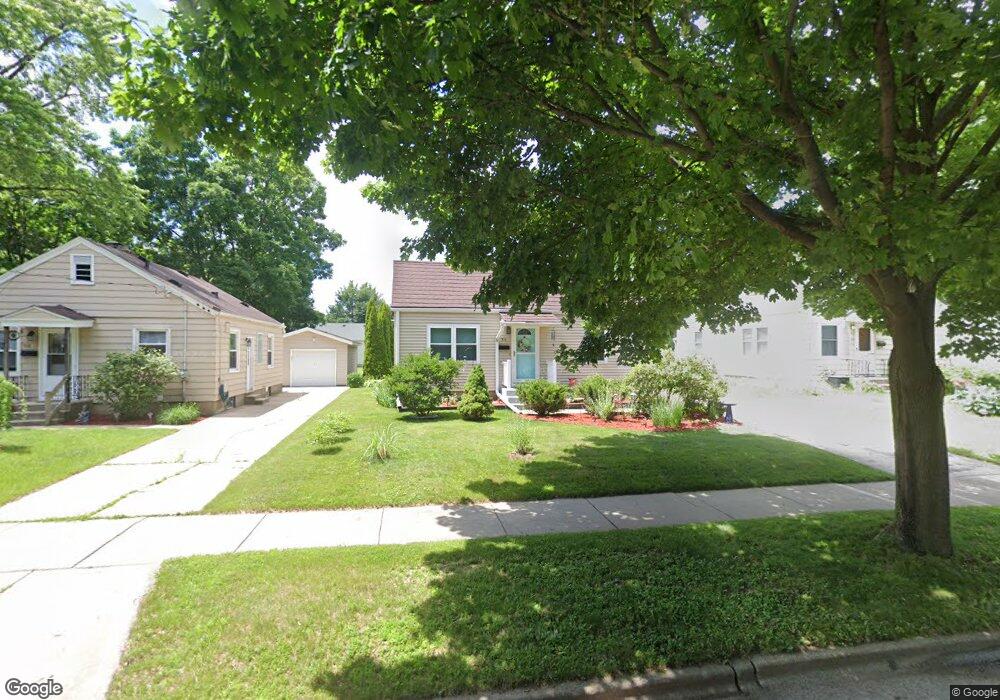
514 Gunderson St Madison, WI 53714
Eastmorland NeighborhoodEstimated Value: $351,000 - $396,000
2
Beds
1
Bath
930
Sq Ft
$408/Sq Ft
Est. Value
About This Home
This home is located at 514 Gunderson St, Madison, WI 53714 and is currently estimated at $379,465, approximately $408 per square foot. 514 Gunderson St is a home located in Dane County with nearby schools including Schenk Elementary School, Whitehorse Middle School, and La Follette High School.
Ownership History
Date
Name
Owned For
Owner Type
Purchase Details
Closed on
Feb 6, 2024
Sold by
Sheehan Robert C
Bought by
Sheehan Frey Living Trust and Sheehan
Current Estimated Value
Purchase Details
Closed on
Aug 15, 2005
Sold by
Valtierra Sergio Anchondo and Cerda Maria Isabel De Le
Bought by
Sheehan Robert C
Home Financials for this Owner
Home Financials are based on the most recent Mortgage that was taken out on this home.
Original Mortgage
$130,400
Interest Rate
5.69%
Mortgage Type
New Conventional
Create a Home Valuation Report for This Property
The Home Valuation Report is an in-depth analysis detailing your home's value as well as a comparison with similar homes in the area
Home Values in the Area
Average Home Value in this Area
Purchase History
| Date | Buyer | Sale Price | Title Company |
|---|---|---|---|
| Sheehan Frey Living Trust | -- | None Listed On Document | |
| Sheehan Robert C | $163,000 | None Available |
Source: Public Records
Mortgage History
| Date | Status | Borrower | Loan Amount |
|---|---|---|---|
| Previous Owner | Sheehan Robert C | $130,400 |
Source: Public Records
Tax History Compared to Growth
Tax History
| Year | Tax Paid | Tax Assessment Tax Assessment Total Assessment is a certain percentage of the fair market value that is determined by local assessors to be the total taxable value of land and additions on the property. | Land | Improvement |
|---|---|---|---|---|
| 2024 | $11,135 | $334,400 | $65,400 | $269,000 |
| 2023 | $5,405 | $318,500 | $62,300 | $256,200 |
| 2021 | $4,900 | $246,000 | $54,800 | $191,200 |
| 2020 | $4,798 | $225,700 | $50,300 | $175,400 |
| 2019 | $4,597 | $217,000 | $48,400 | $168,600 |
| 2018 | $3,982 | $188,600 | $48,400 | $140,200 |
| 2017 | $3,896 | $176,300 | $44,000 | $132,300 |
| 2016 | $3,613 | $160,300 | $40,000 | $120,300 |
| 2015 | $3,526 | $149,600 | $40,000 | $109,600 |
| 2014 | $3,415 | $149,600 | $40,000 | $109,600 |
| 2013 | $3,498 | $146,700 | $40,000 | $106,700 |
Source: Public Records
Map
Nearby Homes
- 3910 Tulane Ave
- 835 Silas St
- 839 Silas St
- 3818 Johns St
- 3822 Johns St
- 125 Silver Rd
- 3606 Atwood Ave
- 4210 Dempsey Rd
- 4233 Portland Pkwy
- 4302 Drexel Ave
- 506 Bowman Ave
- 5126 Walbridge Ave
- 9 N Fair Oaks Ave
- 4310 Hegg Ave
- 4515 Martha Ln
- 4525 Martha Ln
- 3261 Milwaukee St
- 206 Dixon St
- 4705 Agate Ln
- 425 N Fair Oaks Ave
- 518 Gunderson St
- 510 Gunderson St
- 513 Ring St
- 3709 Dennett Dr
- 3705 Dennett Dr
- 509 Ring St
- 517 Ring St
- 602 Gunderson St
- 3701 Dennett Dr
- 3802 Margaret St
- 3801 Dennett Dr
- 606 Gunderson St
- 605 Ring St
- 3801 Margaret St
- 3710 Dennett Dr
- 3810 Margaret St
- 3805 Margaret St
- 609 Ring St
- 610 Gunderson St
- 3702 Dennett Dr