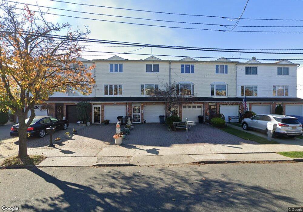
514 Liberty Ave Staten Island, NY 10305
Ocean Breeze NeighborhoodEstimated Value: $645,027 - $815,000
3
Beds
3
Baths
1,825
Sq Ft
$403/Sq Ft
Est. Value
About This Home
This home is located at 514 Liberty Ave, Staten Island, NY 10305 and is currently estimated at $735,257, approximately $402 per square foot. 514 Liberty Ave is a home located in Richmond County with nearby schools including P.S. 052 John C. Thompson, Is 2 George L Egbert, and New Dorp High School.
Ownership History
Date
Name
Owned For
Owner Type
Purchase Details
Closed on
Oct 14, 2004
Sold by
Perrone Thomas and Perrone Gwen
Bought by
Shkradau Aliaksandr and Serper Svetlana
Current Estimated Value
Home Financials for this Owner
Home Financials are based on the most recent Mortgage that was taken out on this home.
Original Mortgage
$315,000
Interest Rate
5.77%
Mortgage Type
Fannie Mae Freddie Mac
Create a Home Valuation Report for This Property
The Home Valuation Report is an in-depth analysis detailing your home's value as well as a comparison with similar homes in the area
Home Values in the Area
Average Home Value in this Area
Purchase History
| Date | Buyer | Sale Price | Title Company |
|---|---|---|---|
| Shkradau Aliaksandr | $394,000 | -- |
Source: Public Records
Mortgage History
| Date | Status | Borrower | Loan Amount |
|---|---|---|---|
| Previous Owner | Shkradau Aliaksandr | $315,000 |
Source: Public Records
Tax History Compared to Growth
Tax History
| Year | Tax Paid | Tax Assessment Tax Assessment Total Assessment is a certain percentage of the fair market value that is determined by local assessors to be the total taxable value of land and additions on the property. | Land | Improvement |
|---|---|---|---|---|
| 2025 | $4,960 | $40,260 | $2,855 | $37,405 |
| 2024 | $4,960 | $33,240 | $3,432 | $29,808 |
| 2023 | $4,731 | $23,297 | $3,046 | $20,251 |
| 2022 | $4,164 | $31,980 | $4,620 | $27,360 |
| 2021 | $4,364 | $26,460 | $4,620 | $21,840 |
| 2020 | $4,093 | $28,860 | $4,620 | $24,240 |
| 2019 | $4,012 | $26,880 | $4,620 | $22,260 |
| 2018 | $3,660 | $19,414 | $3,468 | $15,946 |
| 2017 | $3,434 | $18,316 | $3,731 | $14,585 |
| 2016 | $3,145 | $17,280 | $4,620 | $12,660 |
| 2015 | $3,011 | $17,280 | $4,620 | $12,660 |
| 2014 | $3,011 | $17,280 | $4,620 | $12,660 |
Source: Public Records
Map
Nearby Homes
- 521 Buel Ave
- 519 Buel Ave
- 517 Buel Ave
- 473 Dongan Hills Ave
- 467 Dongan Hills Ave
- 498 Dongan Hills Ave
- 568 Dongan Hills Ave Unit 19A1
- 431 Patterson Ave
- 602 Seaview Ave
- 197 Slater Blvd
- 0 Seaview Ave
- 0 Quincy Ave
- 365 Liberty Ave
- 424 Cromwell Ave
- 422 Cromwell Ave
- 491 Mason Ave
- 459 Seaver Ave
- 343 Liberty Ave
- 188 Graham Blvd Unit B
- 762 Seaview Ave