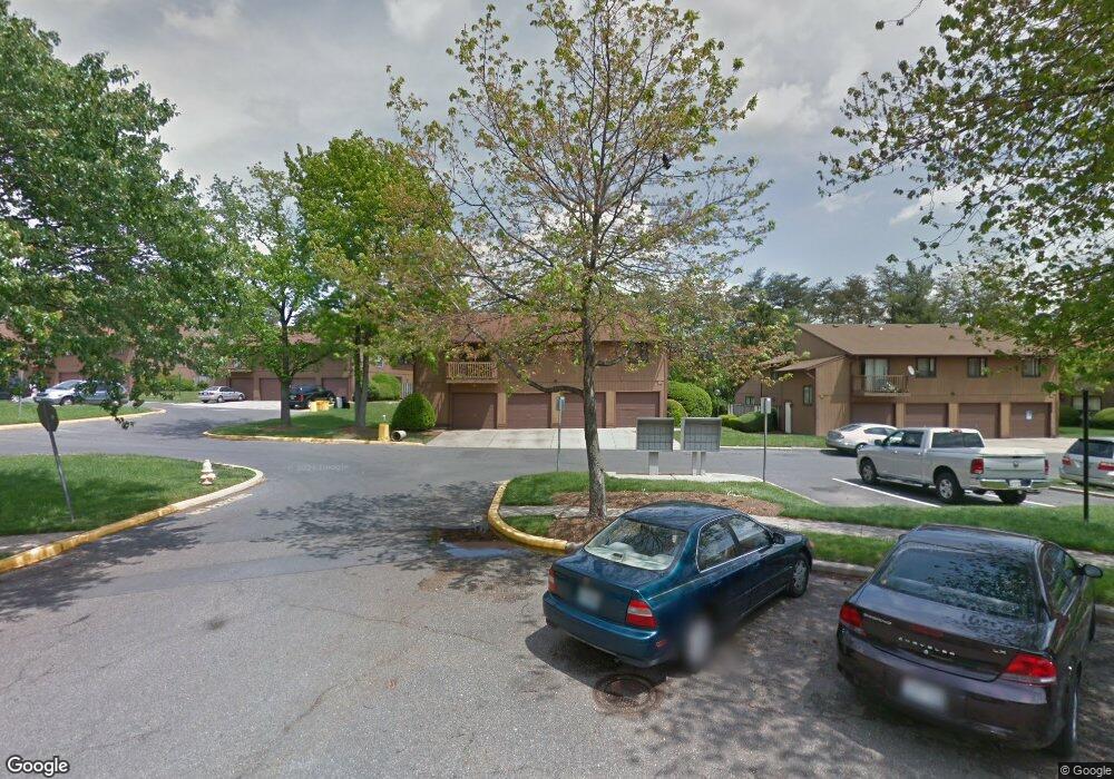
514 West Ct Unit 22D Glen Burnie, MD 21061
Estimated Value: $237,000 - $281,000
3
Beds
1
Bath
1,056
Sq Ft
$250/Sq Ft
Est. Value
About This Home
This home is located at 514 West Ct Unit 22D, Glen Burnie, MD 21061 and is currently estimated at $263,795, approximately $249 per square foot. 514 West Ct Unit 22D is a home located in Anne Arundel County with nearby schools including Quarterfield Elementary School, Corkran Middle School, and Glen Burnie High School.
Ownership History
Date
Name
Owned For
Owner Type
Purchase Details
Closed on
Jul 19, 2024
Sold by
Bernhard David Allan and Bernhard Anne Louise
Bought by
Mccormack Andrew
Current Estimated Value
Purchase Details
Closed on
May 12, 1994
Sold by
Mcclure Katherine D
Bought by
Barteet Barbara B
Home Financials for this Owner
Home Financials are based on the most recent Mortgage that was taken out on this home.
Original Mortgage
$81,450
Interest Rate
7.93%
Create a Home Valuation Report for This Property
The Home Valuation Report is an in-depth analysis detailing your home's value as well as a comparison with similar homes in the area
Home Values in the Area
Average Home Value in this Area
Purchase History
| Date | Buyer | Sale Price | Title Company |
|---|---|---|---|
| Mccormack Andrew | $271,142 | Fidelity National Title | |
| Mccormack Andrew | $271,142 | Fidelity National Title | |
| Barteet Barbara B | $79,900 | -- |
Source: Public Records
Mortgage History
| Date | Status | Borrower | Loan Amount |
|---|---|---|---|
| Previous Owner | Barteet Barbara B | $81,450 |
Source: Public Records
Tax History Compared to Growth
Tax History
| Year | Tax Paid | Tax Assessment Tax Assessment Total Assessment is a certain percentage of the fair market value that is determined by local assessors to be the total taxable value of land and additions on the property. | Land | Improvement |
|---|---|---|---|---|
| 2025 | $2,259 | $193,500 | $75,000 | $118,500 |
| 2024 | $2,259 | $168,567 | $0 | $0 |
| 2023 | $1,568 | $143,633 | $0 | $0 |
| 2022 | $1,240 | $118,700 | $25,000 | $93,700 |
| 2021 | $1,544 | $114,367 | $0 | $0 |
| 2020 | $1,457 | $110,033 | $0 | $0 |
| 2019 | $1,413 | $105,700 | $15,000 | $90,700 |
| 2018 | $1,072 | $105,700 | $15,000 | $90,700 |
| 2017 | $1,434 | $105,700 | $0 | $0 |
| 2016 | -- | $107,300 | $0 | $0 |
| 2015 | -- | $107,300 | $0 | $0 |
| 2014 | -- | $107,300 | $0 | $0 |
Source: Public Records
Map
Nearby Homes
- 480 West Ct
- 594 Glen Ct
- 500 Baylor Rd
- 516 Joy Cir
- 207 Jenkins Way
- 217 Jenkins Way
- 227 Jenkins Way
- 7917 Parke Dr W
- 710 James Rd
- 204 Ridgely Rd
- 607 Marshall Rd
- 7940 E Park Dr
- 393 Jaybea Ct
- 7641 Hennesey Ct
- 7685 Quarterfield Rd
- 786 Jennie Dr
- 1423 Braden Loop
- 1316 Ray Ln
- 454 Nolheight Rd
- 267 Truck Farm Dr