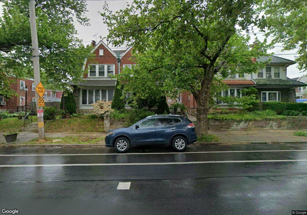
5142 Castor Ave Philadelphia, PA 19124
Lawncrest NeighborhoodEstimated Value: $276,000 - $321,859
4
Beds
3
Baths
1,768
Sq Ft
$172/Sq Ft
Est. Value
About This Home
This home is located at 5142 Castor Ave, Philadelphia, PA 19124 and is currently estimated at $303,215, approximately $171 per square foot. 5142 Castor Ave is a home located in Philadelphia County with nearby schools including Frankford High School, The Philadelphia Charter School for the Arts & Sciences, and Northwood Academy Charter School.
Ownership History
Date
Name
Owned For
Owner Type
Purchase Details
Closed on
May 26, 2011
Sold by
Hodges Roberta
Bought by
Scott Diane
Current Estimated Value
Purchase Details
Closed on
Nov 17, 2000
Sold by
Mitton Marcalene
Bought by
Hodges Roberta
Home Financials for this Owner
Home Financials are based on the most recent Mortgage that was taken out on this home.
Original Mortgage
$87,935
Interest Rate
7.78%
Mortgage Type
FHA
Create a Home Valuation Report for This Property
The Home Valuation Report is an in-depth analysis detailing your home's value as well as a comparison with similar homes in the area
Home Values in the Area
Average Home Value in this Area
Purchase History
| Date | Buyer | Sale Price | Title Company |
|---|---|---|---|
| Scott Diane | $99,000 | None Available | |
| Hodges Roberta | $88,000 | -- |
Source: Public Records
Mortgage History
| Date | Status | Borrower | Loan Amount |
|---|---|---|---|
| Previous Owner | Hodges Roberta | $87,935 |
Source: Public Records
Tax History Compared to Growth
Tax History
| Year | Tax Paid | Tax Assessment Tax Assessment Total Assessment is a certain percentage of the fair market value that is determined by local assessors to be the total taxable value of land and additions on the property. | Land | Improvement |
|---|---|---|---|---|
| 2026 | $3,280 | $280,400 | $56,080 | $224,320 |
| 2025 | $3,280 | $280,400 | $56,080 | $224,320 |
| 2024 | $3,280 | $280,400 | $56,080 | $224,320 |
| 2023 | $3,280 | $234,300 | $46,860 | $187,440 |
| 2022 | $2,577 | $234,300 | $46,860 | $187,440 |
| 2021 | $2,577 | $0 | $0 | $0 |
| 2020 | $2,577 | $0 | $0 | $0 |
| 2019 | $2,472 | $0 | $0 | $0 |
| 2018 | $2,532 | $0 | $0 | $0 |
| 2017 | $2,532 | $0 | $0 | $0 |
| 2016 | $2,532 | $0 | $0 | $0 |
| 2015 | $2,424 | $0 | $0 | $0 |
| 2014 | -- | $180,900 | $69,615 | $111,285 |
| 2012 | -- | $19,360 | $4,867 | $14,493 |
Source: Public Records
Map
Nearby Homes
- 1048 Bridge St
- 5505 Loretto Ave
- 5640 Miriam Rd
- 5659 Miriam Rd
- 5661 Miriam Rd
- 4046 E Roosevelt Blvd
- 1137 Bridge St
- 1052 Allengrove St
- 1204 Pratt St
- 934 Brill St
- 1859 Harrison St
- 991 Carver St
- 996 Anchor St
- 1218 Pratt St
- 934 E Sanger St
- 1220 Pratt St
- 894 Granite St
- 880 Granite St
- 925 E Sanger St
- 1208 Haworth St
- 5144 Castor Ave
- 5138 Castor Ave
- 5146 Castor Ave
- 5136 Castor Ave
- 5148 Castor Ave
- 998 Pratt St
- 5134 Castor Ave
- 996 Pratt St
- 957 Kenwyn St
- 5132 Castor Ave
- 994 Pratt St
- 955 Kenwyn St
- 992 Pratt St
- 1001 Kenwyn St Unit 3
- 5200 Castor Ave
- 949 Kenwyn St
- 5202 Castor Ave
- 1005 Kenwyn St
- 5204 Castor Ave
- 991 Pratt St