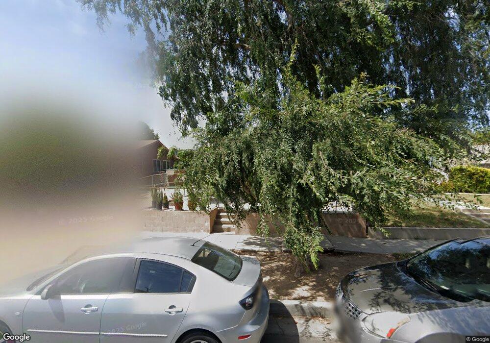
5145 Buchanan St Los Angeles, CA 90042
Estimated Value: $1,123,000 - $1,233,000
3
Beds
2
Baths
1,392
Sq Ft
$853/Sq Ft
Est. Value
About This Home
This home is located at 5145 Buchanan St, Los Angeles, CA 90042 and is currently estimated at $1,187,700, approximately $853 per square foot. 5145 Buchanan St is a home located in Los Angeles County with nearby schools including Buchanan Street Elementary, Benjamin Franklin High School, and Luther Burbank Middle School.
Ownership History
Date
Name
Owned For
Owner Type
Purchase Details
Closed on
Jan 29, 2013
Sold by
Eng Kenny Keung
Bought by
Eng Kenny Keung and Kenny Keung Eng Family Trust
Current Estimated Value
Purchase Details
Closed on
Jun 11, 2002
Sold by
Eng Kenny Keung and Eng Dong Chang
Bought by
Eng Kenny Keung
Home Financials for this Owner
Home Financials are based on the most recent Mortgage that was taken out on this home.
Original Mortgage
$65,000
Interest Rate
6.74%
Purchase Details
Closed on
Mar 9, 1995
Sold by
Eng Sandy Shu Ling Quan
Bought by
Eng Kenny Keung
Create a Home Valuation Report for This Property
The Home Valuation Report is an in-depth analysis detailing your home's value as well as a comparison with similar homes in the area
Home Values in the Area
Average Home Value in this Area
Purchase History
| Date | Buyer | Sale Price | Title Company |
|---|---|---|---|
| Eng Kenny Keung | -- | None Available | |
| Eng Kenny Keung | -- | American Title Co | |
| Eng Kenny Keung | -- | -- |
Source: Public Records
Mortgage History
| Date | Status | Borrower | Loan Amount |
|---|---|---|---|
| Closed | Eng Kenny Keung | $65,000 |
Source: Public Records
Tax History Compared to Growth
Tax History
| Year | Tax Paid | Tax Assessment Tax Assessment Total Assessment is a certain percentage of the fair market value that is determined by local assessors to be the total taxable value of land and additions on the property. | Land | Improvement |
|---|---|---|---|---|
| 2025 | $2,807 | $222,330 | $77,682 | $144,648 |
| 2024 | $2,807 | $217,971 | $76,159 | $141,812 |
| 2023 | $2,755 | $213,698 | $74,666 | $139,032 |
| 2022 | $2,630 | $209,508 | $73,202 | $136,306 |
| 2021 | $2,591 | $205,401 | $71,767 | $133,634 |
| 2020 | $2,612 | $203,296 | $71,032 | $132,264 |
| 2019 | $2,515 | $199,311 | $69,640 | $129,671 |
| 2018 | $2,421 | $195,404 | $68,275 | $127,129 |
| 2016 | $2,299 | $187,819 | $65,625 | $122,194 |
| 2015 | $2,265 | $184,999 | $64,640 | $120,359 |
| 2014 | $2,284 | $181,376 | $63,374 | $118,002 |
Source: Public Records
Map
Nearby Homes
- 5125 Buchanan St
- 5055 Hub St
- 1037 N Avenue 50
- 1113 N Avenue 50
- 1048 Dexter St
- 829 N Avenue 53
- 917 N Avenue 51
- 4925 Buchanan St
- 4854 Buchanan St
- 5252 Range View Ave
- 5318 Irvington Place
- 865 N Avenue 50
- 4780 Hub St
- 1336 Armadale Ave
- 459 Holland Ave
- 1813 N Avenue 53
- 925 927 El Paso Dr
- 768 N Avenue 50
- 4844 San Rafael Ave
- 1813 N Avenue 55
- 5149 Buchanan St
- 5141 Buchanan St
- 5137 Buchanan St
- 5153 Buchanan St
- 1211 North Avenue 52
- 5133 Buchanan St
- 5159 Buchanan St
- 5144 Lincoln Ave
- 5148 Lincoln Ave
- 5140 Lincoln Ave
- 5154 Lincoln Ave
- 5138 Lincoln Ave
- 5129 Buchanan St
- 5160 Lincoln Ave
- 5132 Lincoln Ave
- 5144 Buchanan St
- 5140 Buchanan St
- 5148 Buchanan St
- 5136 Buchanan St
- 5152 Buchanan St