515 142nd St South Sioux City, NE 68776
Estimated Value: $356,306 - $443,000
3
Beds
2
Baths
2,140
Sq Ft
$189/Sq Ft
Est. Value
About This Home
This home is located at 515 142nd St, South Sioux City, NE 68776 and is currently estimated at $404,769, approximately $189 per square foot. 515 142nd St is a home located in Dakota County with nearby schools including Covington Elementary School, South Sioux City Middle School, and South Sioux Senior High School.
Ownership History
Date
Name
Owned For
Owner Type
Purchase Details
Closed on
Feb 7, 2014
Sold by
Butler Patrick Robert
Bought by
Henry William F and Henry Tracy A
Current Estimated Value
Purchase Details
Closed on
Mar 5, 2005
Sold by
Henry Tracy A and Henry William F
Bought by
Stolze Carl E and Stolze Pamela S
Home Financials for this Owner
Home Financials are based on the most recent Mortgage that was taken out on this home.
Original Mortgage
$155,066
Interest Rate
5.66%
Mortgage Type
FHA
Create a Home Valuation Report for This Property
The Home Valuation Report is an in-depth analysis detailing your home's value as well as a comparison with similar homes in the area
Home Values in the Area
Average Home Value in this Area
Purchase History
| Date | Buyer | Sale Price | Title Company |
|---|---|---|---|
| Henry William F | -- | None Available | |
| Stolze Carl E | $122,888 | -- |
Source: Public Records
Mortgage History
| Date | Status | Borrower | Loan Amount |
|---|---|---|---|
| Previous Owner | Stolze Carl E | $155,066 |
Source: Public Records
Tax History Compared to Growth
Tax History
| Year | Tax Paid | Tax Assessment Tax Assessment Total Assessment is a certain percentage of the fair market value that is determined by local assessors to be the total taxable value of land and additions on the property. | Land | Improvement |
|---|---|---|---|---|
| 2024 | $2,912 | $321,485 | $32,500 | $288,985 |
| 2023 | $4,417 | $317,790 | $25,000 | $292,790 |
| 2022 | $4,129 | $268,380 | $25,000 | $243,380 |
| 2021 | $4,230 | $268,380 | $25,000 | $243,380 |
| 2020 | $3,693 | $230,475 | $25,000 | $205,475 |
| 2019 | $3,559 | $221,095 | $25,000 | $196,095 |
| 2018 | $3,586 | $215,500 | $25,000 | $190,500 |
| 2017 | $2,594 | $157,585 | $25,000 | $132,585 |
| 2016 | $2,656 | $164,900 | $30,000 | $134,900 |
| 2014 | $2,463 | $146,225 | $20,065 | $126,160 |
Source: Public Records
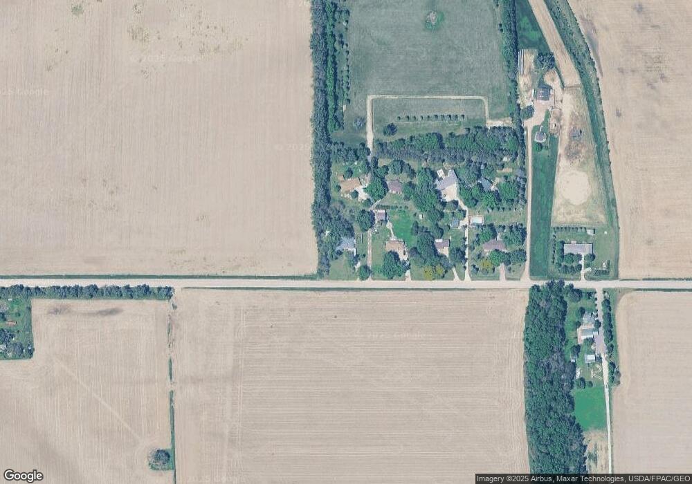
Map
Nearby Homes
- 509 142nd St
- 2434 U S 77
- 120 Rottunda Way
- 114 Oakmont Dr
- 149 Rottunda Way
- 423 Golf Rd
- 604 152nd St Unit 36
- 424 S Ridge Dr
- 101 Shore Place Ct
- 3312 Cedar Mill Way
- 3200 Cider Mill Way
- 389 Willow Gardens
- 645 Lik-U-wanta Dr
- 652 Likuwanta Dr
- 214 W 31st St
- Lot 14 Likuwanta Dr
- Lot 10 Likuwanta Dr
- Lot 11 Likuwanta Dr
- Lot 12 Likuwanta Dr
- 405 W 17th St