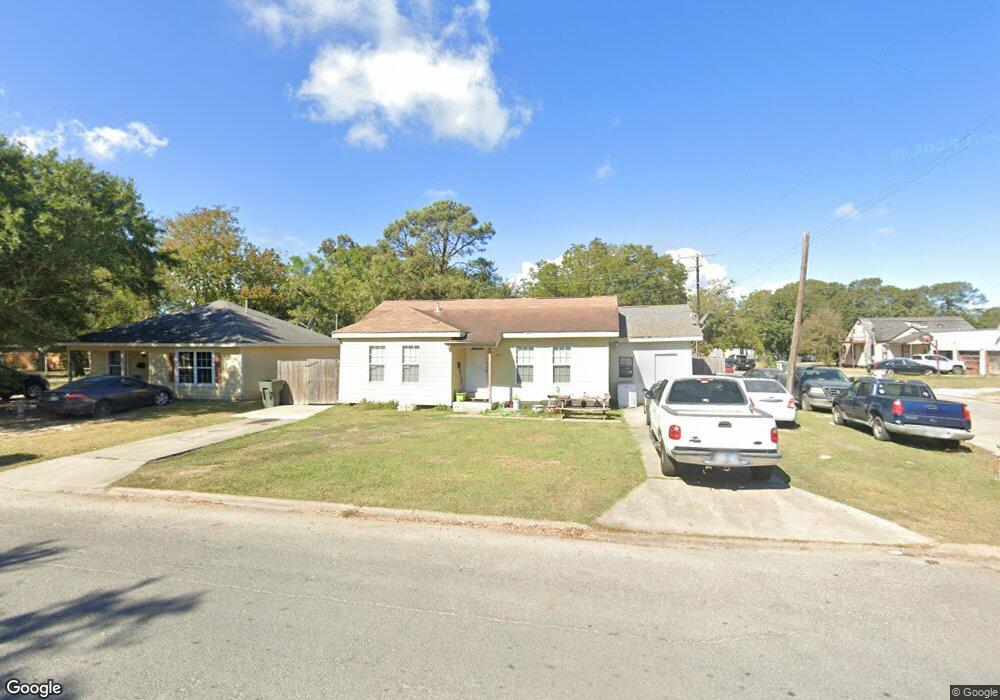
5151 Lewis Dr Port Arthur, TX 77642
Estimated Value: $55,000 - $111,000
--
Bed
--
Bath
1,492
Sq Ft
$58/Sq Ft
Est. Value
About This Home
This home is located at 5151 Lewis Dr, Port Arthur, TX 77642 and is currently estimated at $86,418, approximately $57 per square foot. 5151 Lewis Dr is a home located in Jefferson County with nearby schools including Travis Elementary School, Jefferson Middle School, and Memorial High School.
Ownership History
Date
Name
Owned For
Owner Type
Purchase Details
Closed on
May 10, 2012
Sold by
Dehoyos Virginia
Bought by
Guedea Marco Antonio and Cuevas Lorena
Current Estimated Value
Home Financials for this Owner
Home Financials are based on the most recent Mortgage that was taken out on this home.
Original Mortgage
$35,000
Outstanding Balance
$24,250
Interest Rate
3.9%
Mortgage Type
Seller Take Back
Estimated Equity
$62,168
Purchase Details
Closed on
Jul 19, 2007
Sold by
Wigginton Clovis and Wigginton Corina
Bought by
Dehoyos Pedro Eleazar
Create a Home Valuation Report for This Property
The Home Valuation Report is an in-depth analysis detailing your home's value as well as a comparison with similar homes in the area
Home Values in the Area
Average Home Value in this Area
Purchase History
| Date | Buyer | Sale Price | Title Company |
|---|---|---|---|
| Guedea Marco Antonio | -- | None Available | |
| Dehoyos Pedro Eleazar | -- | None Available |
Source: Public Records
Mortgage History
| Date | Status | Borrower | Loan Amount |
|---|---|---|---|
| Open | Guedea Marco Antonio | $35,000 |
Source: Public Records
Tax History Compared to Growth
Tax History
| Year | Tax Paid | Tax Assessment Tax Assessment Total Assessment is a certain percentage of the fair market value that is determined by local assessors to be the total taxable value of land and additions on the property. | Land | Improvement |
|---|---|---|---|---|
| 2025 | $654 | $58,114 | -- | -- |
| 2024 | $654 | $52,831 | -- | -- |
| 2023 | $654 | $48,028 | $0 | $0 |
| 2022 | $1,097 | $34,526 | $0 | $0 |
| 2021 | $1,040 | $46,926 | $4,230 | $42,696 |
| 2020 | $450 | $28,534 | $4,230 | $24,304 |
| 2019 | $841 | $28,530 | $4,230 | $24,300 |
| 2018 | $323 | $23,980 | $4,230 | $19,750 |
| 2017 | $307 | $23,980 | $4,230 | $19,750 |
| 2016 | $702 | $23,980 | $4,230 | $19,750 |
| 2015 | $670 | $23,980 | $4,230 | $19,750 |
| 2014 | $670 | $22,460 | $4,230 | $18,230 |
Source: Public Records
Map
Nearby Homes
- 5143 Lewis Dr
- 1109 Williams Ave
- 5201 Lewis Dr
- 1115 Williams Ave
- 5200 Landry Dr
- 5205 Lewis Dr
- 5152 Lewis Dr
- 5148 Lewis Dr
- 5200 Lewis Dr
- 5206 Landry Dr
- 5209 Lewis Dr
- 1121 Williams Ave
- 1110 Lakeview Ave
- 1100 Lakeview Ave
- 5204 Lewis Dr
- 5201 Landry Dr
- 1116 Lakeview Ave
- 5207 Landry Dr
- 5136 Lewis Dr
- 5212 Landry Dr