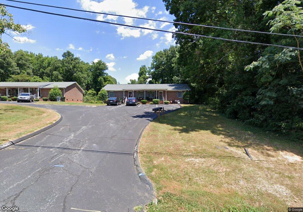
516 Lincoln Ave Asheboro, NC 27205
Estimated Value: $333,000 - $498,757
--
Bed
2
Baths
5,655
Sq Ft
$73/Sq Ft
Est. Value
About This Home
This home is located at 516 Lincoln Ave, Asheboro, NC 27205 and is currently estimated at $412,252, approximately $72 per square foot. 516 Lincoln Ave is a home located in Randolph County with nearby schools including Charles W. McCrary Elementary School, North Asheboro Middle School, and Asheboro High School.
Ownership History
Date
Name
Owned For
Owner Type
Purchase Details
Closed on
Aug 14, 2008
Sold by
Brantley Jonathan P and Brantley Lisa H
Bought by
Baybuilt Properties Llc
Current Estimated Value
Home Financials for this Owner
Home Financials are based on the most recent Mortgage that was taken out on this home.
Original Mortgage
$2,013,900
Interest Rate
6.61%
Mortgage Type
Purchase Money Mortgage
Purchase Details
Closed on
Oct 23, 2002
Bought by
Baybuilt Properties Llc
Purchase Details
Closed on
Jun 19, 1996
Bought by
Baybuilt Properties Llc
Purchase Details
Closed on
Dec 1, 1994
Bought by
Baybuilt Properties Llc
Create a Home Valuation Report for This Property
The Home Valuation Report is an in-depth analysis detailing your home's value as well as a comparison with similar homes in the area
Home Values in the Area
Average Home Value in this Area
Purchase History
| Date | Buyer | Sale Price | Title Company |
|---|---|---|---|
| Baybuilt Properties Llc | $356,250 | None Available | |
| Baybuilt Properties Llc | $350,000 | -- | |
| Baybuilt Properties Llc | $315,000 | -- | |
| Baybuilt Properties Llc | $24,000 | -- |
Source: Public Records
Mortgage History
| Date | Status | Borrower | Loan Amount |
|---|---|---|---|
| Closed | Baybuilt Properties Llc | $2,013,900 |
Source: Public Records
Tax History Compared to Growth
Tax History
| Year | Tax Paid | Tax Assessment Tax Assessment Total Assessment is a certain percentage of the fair market value that is determined by local assessors to be the total taxable value of land and additions on the property. | Land | Improvement |
|---|---|---|---|---|
| 2025 | $6,123 | $499,560 | $48,900 | $450,660 |
| 2024 | $6,123 | $499,560 | $48,900 | $450,660 |
| 2023 | $6,123 | $499,560 | $48,900 | $450,660 |
| 2022 | $5,114 | $354,760 | $35,680 | $319,080 |
| 2021 | $5,114 | $354,760 | $35,680 | $319,080 |
| 2020 | $5,114 | $354,760 | $35,680 | $319,080 |
| 2019 | $5,114 | $354,760 | $35,680 | $319,080 |
| 2018 | $4,848 | $330,350 | $36,740 | $293,610 |
| 2016 | $4,848 | $330,348 | $36,740 | $293,608 |
| 2015 | $4,856 | $330,348 | $36,740 | $293,608 |
| 2014 | -- | $330,348 | $36,740 | $293,608 |
Source: Public Records
Map
Nearby Homes
- 627 Oakmont Dr
- 435 Peachtree St
- 923 Arnold St
- 516 and 518 Peachtree St
- 866 Mountain Rd
- 1110 Park Dr
- 0000 Little Gate Dr
- TBD Oakland Ave
- 0 Highwood Dr
- 1263 Winslow Ave Unit A, B & C
- 830 Sunset Ave
- 1011 Westmont Dr
- 1407 Oakland Ave
- 1582 Westmont Dr
- 330 W Presnell St Unit 37
- 135 West St
- 330 13 W Presnell St
- 1025 Neely Dr
- 0 Amity Rd
- 711 Sunset Ave Unit E
- 502 Lincoln Ave
- 523 Lincoln Ave
- 548 Lincoln Ave
- 507 N Mccrary St
- 1102 Chapel Gate Ln
- 505 N Mccrary St
- 509 N Mccrary St
- 503 N Mccrary St
- 511 N Mccrary St
- 558 Lincoln Ave
- 1026 Perry St
- 1012 Perry St
- 547 Lincoln Ave
- 1030 Perry St
- 513 N Mccrary St
- 1101 Timbal Ct
- 555 Lincoln Ave
- 564 Lincoln Ave
- 441 N Mccrary St
- 1109 Chapel Gate Ln