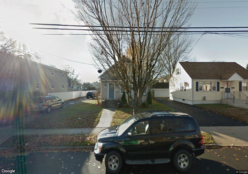
516 Sedgewick Ave Stratford, CT 06615
Stratford Center Historic District NeighborhoodEstimated Value: $323,000 - $467,000
3
Beds
3
Baths
1,549
Sq Ft
$249/Sq Ft
Est. Value
About This Home
This home is located at 516 Sedgewick Ave, Stratford, CT 06615 and is currently estimated at $385,557, approximately $248 per square foot. 516 Sedgewick Ave is a home located in Fairfield County with nearby schools including Stratford Academy - Johnson House, David Wooster Middle School, and Stratford High School.
Ownership History
Date
Name
Owned For
Owner Type
Purchase Details
Closed on
Jul 26, 2000
Sold by
Hubbard Willis L and Hubbard Nan C
Bought by
Penny Mary S and Roche Louise
Current Estimated Value
Home Financials for this Owner
Home Financials are based on the most recent Mortgage that was taken out on this home.
Original Mortgage
$108,000
Interest Rate
8.18%
Create a Home Valuation Report for This Property
The Home Valuation Report is an in-depth analysis detailing your home's value as well as a comparison with similar homes in the area
Home Values in the Area
Average Home Value in this Area
Purchase History
| Date | Buyer | Sale Price | Title Company |
|---|---|---|---|
| Penny Mary S | $135,000 | -- |
Source: Public Records
Mortgage History
| Date | Status | Borrower | Loan Amount |
|---|---|---|---|
| Open | Penny Mary S | $275,000 | |
| Closed | Penny Mary S | $155,200 | |
| Closed | Penny Mary S | $128,000 | |
| Closed | Penny Mary S | $108,000 |
Source: Public Records
Tax History Compared to Growth
Tax History
| Year | Tax Paid | Tax Assessment Tax Assessment Total Assessment is a certain percentage of the fair market value that is determined by local assessors to be the total taxable value of land and additions on the property. | Land | Improvement |
|---|---|---|---|---|
| 2025 | $5,459 | $135,800 | $60,760 | $75,040 |
| 2024 | $5,459 | $135,800 | $60,760 | $75,040 |
| 2023 | $5,459 | $135,800 | $60,760 | $75,040 |
| 2022 | $5,359 | $135,800 | $60,760 | $75,040 |
| 2021 | $5,360 | $135,800 | $60,760 | $75,040 |
| 2020 | $5,383 | $135,800 | $60,760 | $75,040 |
| 2019 | $4,837 | $121,310 | $42,770 | $78,540 |
| 2018 | $4,840 | $121,310 | $42,770 | $78,540 |
| 2017 | $4,849 | $121,310 | $42,770 | $78,540 |
| 2016 | $4,730 | $121,310 | $42,770 | $78,540 |
| 2015 | $4,486 | $121,310 | $42,770 | $78,540 |
| 2014 | $4,569 | $128,240 | $42,910 | $85,330 |
Source: Public Records
Map
Nearby Homes
- 209 Mcgrath Ct
- 79 Wooster Ave
- 366 Columbus Ave
- 325 Mckinley Ave
- 270 Roosevelt Ave
- 394 Harding Ave
- 291 Birdseye St
- 107 Dewey St
- 216 Mckinley Ave
- 238 Larkin Ct
- 208 Harding Ave
- 1260 Elm St
- 148 Columbus Ave
- 909 Main St
- 88 Boswell St
- 126 Garibaldi Ave
- 1170 South Ave
- 125 Garibaldi Ave
- 66 Roosevelt Ave
- 28 Frash St
- 520 Sedgewick Ave
- 28 Yarwood St
- 532 Sedgewick Ave
- 528 Sedgewick Ave
- 36 Yarwood St
- 503 Sedgewick Ave
- 46 Yarwood St
- 542 Sedgewick Ave
- 25 Yarwood St
- 56 Yarwood St
- 141 Mcgrath Ct
- 35 Yarwood St
- 131 Mcgrath Ct
- 493 Sedgewick Ave
- 41 Yarwood St
- 454 Sedgewick Ave
- 519 Sedgewick Ave
- 139 Mcgrath Ct
- 465 Sedgewick Ave