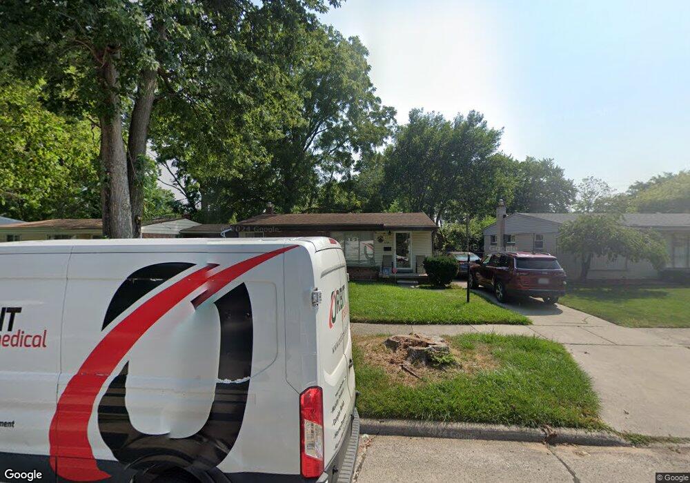
5169 Cherokee St Dearborn Heights, MI 48125
Estimated Value: $144,717 - $160,000
--
Bed
1
Bath
1,015
Sq Ft
$153/Sq Ft
Est. Value
About This Home
This home is located at 5169 Cherokee St, Dearborn Heights, MI 48125 and is currently estimated at $155,679, approximately $153 per square foot. 5169 Cherokee St is a home located in Wayne County with nearby schools including West Village Academy, Quest Charter Academy, and Peterson-Warren Academy.
Ownership History
Date
Name
Owned For
Owner Type
Purchase Details
Closed on
Oct 11, 2012
Sold by
Wayne County Treasurer
Bought by
Michigan Land Bank Fast Track Auth
Current Estimated Value
Purchase Details
Closed on
Oct 5, 2005
Sold by
Wojtowicz Raymond J
Bought by
Hammoud Adel
Purchase Details
Closed on
Mar 4, 2004
Sold by
Ambrosis George Mary and Miranda Cyril
Bought by
Aranha Anil N F
Purchase Details
Closed on
Sep 1, 1994
Sold by
Ambrosis-George Mary
Bought by
Aranha Anil N and Aranha Arun
Create a Home Valuation Report for This Property
The Home Valuation Report is an in-depth analysis detailing your home's value as well as a comparison with similar homes in the area
Home Values in the Area
Average Home Value in this Area
Purchase History
| Date | Buyer | Sale Price | Title Company |
|---|---|---|---|
| Michigan Land Bank Fast Track Auth | -- | None Available | |
| Hammoud Adel | $600 | None Available | |
| Aranha Anil N F | $62,000 | -- | |
| Aranha Anil N | $62,000 | -- |
Source: Public Records
Mortgage History
| Date | Status | Borrower | Loan Amount |
|---|---|---|---|
| Closed | Aranha Anil N | $0 |
Source: Public Records
Tax History Compared to Growth
Tax History
| Year | Tax Paid | Tax Assessment Tax Assessment Total Assessment is a certain percentage of the fair market value that is determined by local assessors to be the total taxable value of land and additions on the property. | Land | Improvement |
|---|---|---|---|---|
| 2025 | $1,760 | $77,700 | $0 | $0 |
| 2024 | $1,760 | $70,500 | $0 | $0 |
| 2023 | $1,600 | $61,300 | $0 | $0 |
| 2022 | $2,352 | $52,800 | $0 | $0 |
| 2021 | $2,334 | $45,700 | $0 | $0 |
| 2019 | $2,162 | $36,800 | $0 | $0 |
| 2018 | $1,387 | $33,200 | $0 | $0 |
| 2017 | $1,428 | $32,600 | $0 | $0 |
| 2016 | $2,054 | $33,100 | $0 | $0 |
| 2015 | $3,080 | $30,800 | $0 | $0 |
| 2013 | $3,210 | $33,300 | $0 | $0 |
| 2010 | -- | $37,900 | $0 | $0 |
Source: Public Records
Map
Nearby Homes
- 4856 Carolee Ln
- 5118 Michael St
- 24754 Annapolis St
- 25474 McDonald St
- 24727 Hopkins St
- 25243 Lehigh St
- 24443 Powers Ave
- 25628 Powers Ave
- 25118 Lehigh St
- 25212 Lehigh St
- 24360 Pennie St
- 4147 Westlake St
- 24339 Eton Ave
- 25085 Colgate St
- 24635 Stanford St
- 5963 Vivian St
- 24426 Lehigh St
- 5842 Janet St
- 24409 Stanford St
- 6020 Vivian St
- 5301 Cherokee St
- 5151 Cherokee St
- 5145 Cherokee St
- 5313 Cherokee St
- 24956 Powers Ave
- 5133 Cherokee St
- 5172 Cherokee St
- 5321 Cherokee St
- 5302 Cherokee St
- 5160 Cherokee St
- 5314 Cherokee St
- 5148 Cherokee St
- 24964 Powers Ave
- 24948 Powers Ave
- 25057 Pennie St
- 25067 Pennie St
- 5322 Cherokee St
- 25105 Pennie St
- 5329 Cherokee St
- 5136 Cherokee St