52 Round Pond Rd Freedom, NH 03836
Estimated Value: $448,000 - $505,000
1
Bed
1
Bath
2,132
Sq Ft
$217/Sq Ft
Est. Value
About This Home
This home is located at 52 Round Pond Rd, Freedom, NH 03836 and is currently estimated at $463,152, approximately $217 per square foot. 52 Round Pond Rd is a home with nearby schools including Freedom Elementary School.
Ownership History
Date
Name
Owned For
Owner Type
Purchase Details
Closed on
Sep 1, 2011
Sold by
Frederic E Ainsworth L
Bought by
Ainsworth Bonnie A and Olszewski Mark D
Current Estimated Value
Home Financials for this Owner
Home Financials are based on the most recent Mortgage that was taken out on this home.
Original Mortgage
$105,000
Outstanding Balance
$72,790
Interest Rate
4.52%
Mortgage Type
Purchase Money Mortgage
Estimated Equity
$390,362
Create a Home Valuation Report for This Property
The Home Valuation Report is an in-depth analysis detailing your home's value as well as a comparison with similar homes in the area
Home Values in the Area
Average Home Value in this Area
Purchase History
| Date | Buyer | Sale Price | Title Company |
|---|---|---|---|
| Ainsworth Bonnie A | $140,000 | -- |
Source: Public Records
Mortgage History
| Date | Status | Borrower | Loan Amount |
|---|---|---|---|
| Open | Ainsworth Bonnie A | $35,000 | |
| Open | Ainsworth Bonnie A | $105,000 |
Source: Public Records
Tax History Compared to Growth
Tax History
| Year | Tax Paid | Tax Assessment Tax Assessment Total Assessment is a certain percentage of the fair market value that is determined by local assessors to be the total taxable value of land and additions on the property. | Land | Improvement |
|---|---|---|---|---|
| 2024 | $3,202 | $446,000 | $88,900 | $357,100 |
| 2023 | $2,835 | $258,200 | $36,400 | $221,800 |
| 2022 | $2,641 | $258,200 | $36,400 | $221,800 |
| 2021 | $2,801 | $258,200 | $36,400 | $221,800 |
| 2020 | $2,755 | $258,200 | $36,400 | $221,800 |
| 2019 | $2,675 | $197,300 | $38,400 | $158,900 |
| 2018 | $2,551 | $197,300 | $38,400 | $158,900 |
| 2016 | $2,486 | $197,300 | $38,400 | $158,900 |
| 2015 | $2,184 | $180,500 | $43,000 | $137,500 |
| 2014 | $2,202 | $180,500 | $43,000 | $137,500 |
| 2013 | $2,231 | $180,500 | $43,000 | $137,500 |
Source: Public Records
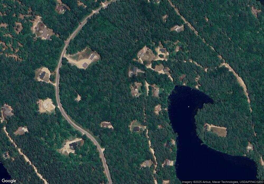
Map
Nearby Homes
- 118 Pound Round Rd
- 118 Round Pond Rd
- 78 School St
- Lot 10 Friedman
- Lot 3 Parsons Rd
- Lots 0-4 Parsons Rd
- Lot 2 Parsons Rd
- Lot 4 Parsons Rd
- Lot 1 Parsons Rd
- 187 Huntress Bridge Rd
- 118 Washington Rd Unit 55
- 185 Huntress Bridge Rd
- 50 Milford Ave
- 29 Milford Ave
- 1108 Ossipee Trail
- 00 Pratt Rd
- 16 Channel Rd
- 126 Leavitt Rd
- 5-11 Friedman Ln
- 5 Friedman Ln
- 40 Round Pond Rd
- 66 Round Pond Rd
- 47 Round Pond Rd
- 53 Round Pond Rd
- 38 Round Pond Rd
- 37 Round Pond Rd
- 20 Kidder Dr
- 68 Kidder Dr
- 32 Round Pond Rd
- 50 Kidder Dr
- 59 Round Pond Rd
- 23 Round Pond Rd
- Lot 13 Kidder Dr
- 15 Kidder Dr
- 20 Round Pond Rd
- 0 Kidder Dr Unit 15 4713832
- 0 Kidder Dr Unit 16 4713799
- 0 Kidder Dr Unit 4233279
- 00 Kidder Dr Unit 12
- 0 Kidder Dr Unit 4181433