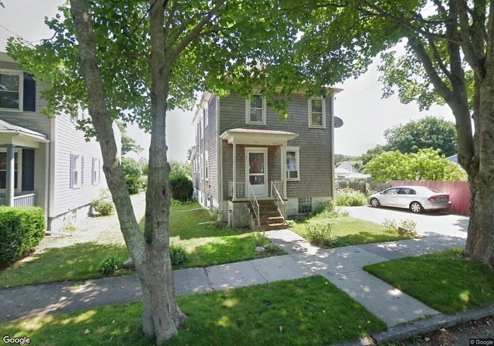
52 Westbrook St New Bedford, MA 02740
The South End NeighborhoodEstimated Value: $371,000 - $478,000
3
Beds
3
Baths
1,480
Sq Ft
$285/Sq Ft
Est. Value
About This Home
This home is located at 52 Westbrook St, New Bedford, MA 02740 and is currently estimated at $421,732, approximately $284 per square foot. 52 Westbrook St is a home located in Bristol County with nearby schools including Betsey B. Winslow Elementary School, Keith Middle School, and New Bedford High School.
Ownership History
Date
Name
Owned For
Owner Type
Purchase Details
Closed on
Oct 20, 2020
Sold by
Marshall Diane M
Bought by
Oliver Thomas B and Wyatt-Marshall Nathan
Current Estimated Value
Purchase Details
Closed on
Apr 20, 1990
Sold by
Alves Mario
Bought by
Marshall Wyatt
Home Financials for this Owner
Home Financials are based on the most recent Mortgage that was taken out on this home.
Original Mortgage
$108,300
Interest Rate
10.21%
Mortgage Type
Purchase Money Mortgage
Create a Home Valuation Report for This Property
The Home Valuation Report is an in-depth analysis detailing your home's value as well as a comparison with similar homes in the area
Home Values in the Area
Average Home Value in this Area
Purchase History
| Date | Buyer | Sale Price | Title Company |
|---|---|---|---|
| Oliver Thomas B | -- | None Available | |
| Oliver Thomas B | -- | None Available | |
| Marshall Wyatt | $114,000 | -- |
Source: Public Records
Mortgage History
| Date | Status | Borrower | Loan Amount |
|---|---|---|---|
| Previous Owner | Marshall Wyatt | $108,300 |
Source: Public Records
Tax History Compared to Growth
Tax History
| Year | Tax Paid | Tax Assessment Tax Assessment Total Assessment is a certain percentage of the fair market value that is determined by local assessors to be the total taxable value of land and additions on the property. | Land | Improvement |
|---|---|---|---|---|
| 2025 | $4,111 | $363,500 | $111,600 | $251,900 |
| 2024 | $3,640 | $303,300 | $113,400 | $189,900 |
| 2023 | $3,491 | $244,300 | $97,800 | $146,500 |
| 2022 | $3,170 | $204,000 | $93,000 | $111,000 |
| 2021 | $3,180 | $204,000 | $93,000 | $111,000 |
| 2020 | $3,195 | $197,700 | $93,000 | $104,700 |
| 2019 | $3,147 | $191,100 | $93,000 | $98,100 |
| 2018 | $3,048 | $183,300 | $93,000 | $90,300 |
| 2017 | $2,844 | $170,400 | $93,000 | $77,400 |
| 2016 | $2,759 | $167,300 | $93,000 | $74,300 |
| 2015 | $2,592 | $164,800 | $93,000 | $71,800 |
| 2014 | $2,420 | $159,600 | $87,400 | $72,200 |
Source: Public Records
Map
Nearby Homes
- 48 Westbrook St
- 45 Schofield St
- 60 Westbrook St
- 36 Westbrook St
- 55 Westbrook St
- 55 Westbrook St
- 49 Westbrook St
- 372 John St
- 41 Westbrook St
- 56 Schofield St
- 28 Westbrook St
- 390 John St
- 33 Westbrook St
- 364 John St
- 38 Schofield St Unit 40
- 31 Schofield St
- 91 Winterville Rd
- 71 Winterville Rd Unit 73
- 42 Brier St
- 50 Brier St