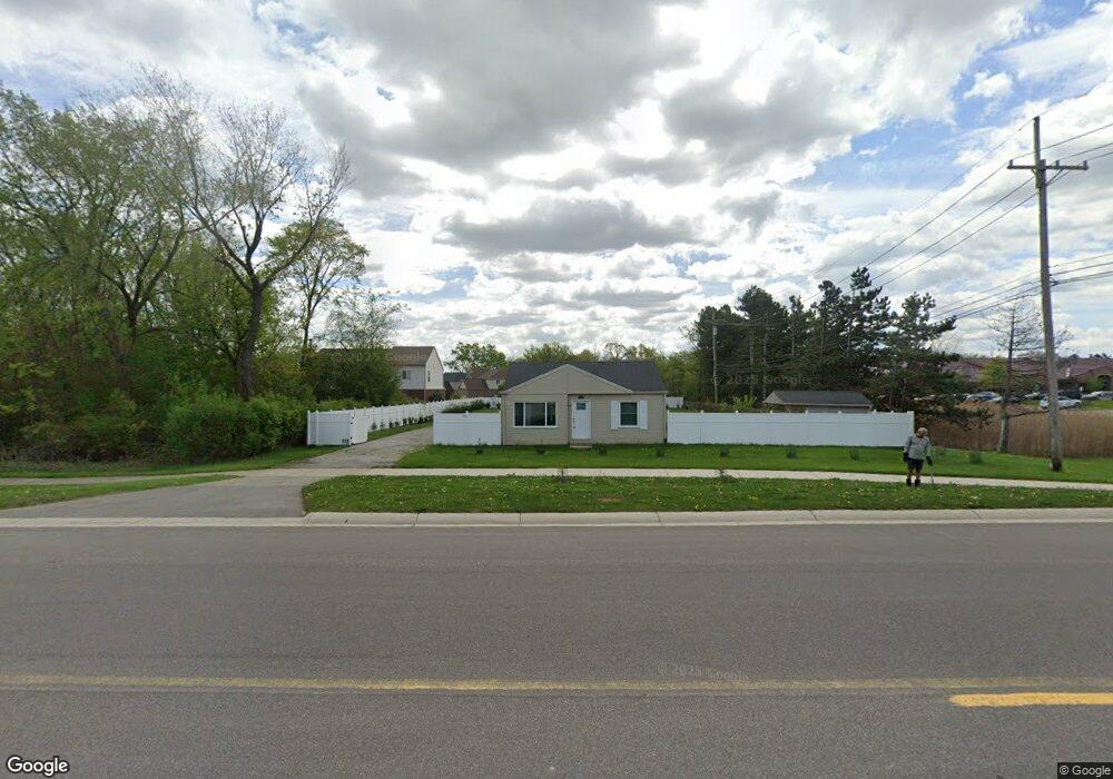
520 E Auburn Rd Unit Bldg-Unit Rochester Hills, MI 48307
Estimated Value: $298,711 - $328,000
2
Beds
1
Bath
912
Sq Ft
$347/Sq Ft
Est. Value
About This Home
This home is located at 520 E Auburn Rd Unit Bldg-Unit, Rochester Hills, MI 48307 and is currently estimated at $316,178, approximately $346 per square foot. 520 E Auburn Rd Unit Bldg-Unit is a home located in Oakland County with nearby schools including Brooklands Elementary School, Reuther Middle School, and Rochester High School.
Ownership History
Date
Name
Owned For
Owner Type
Purchase Details
Closed on
Nov 25, 2024
Sold by
Yelda Mike Sabri
Bought by
Kompella Murty
Current Estimated Value
Purchase Details
Closed on
Dec 7, 2018
Sold by
Korkis Sabri Yelda
Bought by
Yelda Mike Sabri
Purchase Details
Closed on
Jan 5, 2018
Sold by
Hart Lidia Alicia and Hart William
Bought by
Korkis Sabri Yelda and Yelda Mike
Purchase Details
Closed on
Apr 10, 2001
Sold by
Morris Ruth A
Bought by
Hart William
Home Financials for this Owner
Home Financials are based on the most recent Mortgage that was taken out on this home.
Original Mortgage
$76,000
Interest Rate
7.2%
Create a Home Valuation Report for This Property
The Home Valuation Report is an in-depth analysis detailing your home's value as well as a comparison with similar homes in the area
Home Values in the Area
Average Home Value in this Area
Purchase History
| Date | Buyer | Sale Price | Title Company |
|---|---|---|---|
| Kompella Murty | $306,000 | None Listed On Document | |
| Kompella Murty | $306,000 | None Listed On Document | |
| Yelda Mike Sabri | -- | None Available | |
| Korkis Sabri Yelda | $95,000 | Sterling Title Agency | |
| Hart William | $95,000 | -- |
Source: Public Records
Mortgage History
| Date | Status | Borrower | Loan Amount |
|---|---|---|---|
| Previous Owner | Hart William | $76,000 |
Source: Public Records
Tax History Compared to Growth
Tax History
| Year | Tax Paid | Tax Assessment Tax Assessment Total Assessment is a certain percentage of the fair market value that is determined by local assessors to be the total taxable value of land and additions on the property. | Land | Improvement |
|---|---|---|---|---|
| 2022 | $967 | $56,970 | $0 | $0 |
| 2018 | $1,246 | $50,450 | $0 | $0 |
| 2017 | $2,414 | $48,840 | $0 | $0 |
| 2015 | -- | $42,960 | $0 | $0 |
| 2014 | -- | $38,650 | $0 | $0 |
| 2011 | -- | $38,790 | $0 | $0 |
Source: Public Records
Map
Nearby Homes
- 2817 Hartwick Dr
- 2653 Helmsdale Cir
- 2605 Helmsdale Cir
- 830 Dartmouth Dr
- 525 Oxford Ct
- 372 Daylily Dr
- 740 Eastbridge Ct
- 980 Briston Dr
- 733 Hamilton Ct Unit 120
- 653 Glasgow Ct Unit 207
- 134 W Auburn Rd
- 3118 Hickory Lawn Rd
- 1120 Michelson Rd
- 2770 Hickory Lawn Rd
- 1166 Sugar Creek Dr
- 535 Tennyson Unit 48
- 513 Tennyson
- 388 E South Blvd
- 3285 Norton Lawn
- 3615 Hazelton Ave
- 520 E Auburn Rd
- 3023 Penn Ct
- 3022 Penn Ct
- 3035 Penn Ct
- 3034 Penn Ct
- 3047 Penn Ct Unit Bldg-Unit
- 3047 Penn Ct
- 580 E Auburn Rd
- 3046 Penn Ct
- 600 E Auburn Rd
- 3059 Penn Ct
- 3058 Penn Ct
- 3071 Penn Ct
- 3262 Everett Dr
- 630 E Auburn Rd
- 3250 Everett Dr
- 3070 Penn Ct
- 490 E Auburn Rd
- 3238 Everett Dr Unit 112
- 3286 Everett Dr