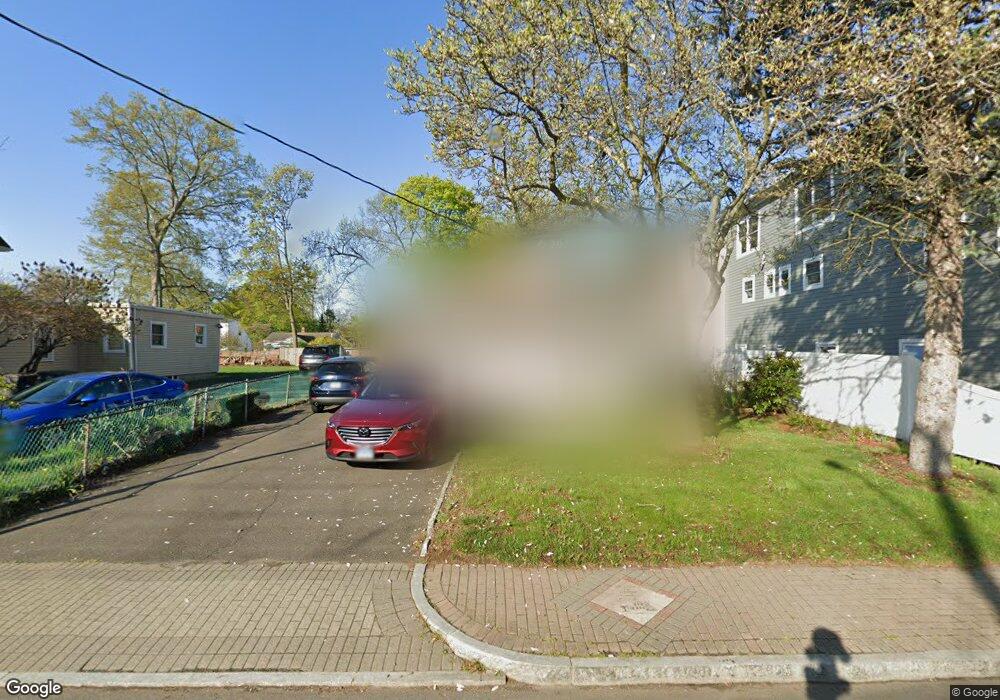
520 Naugatuck Ave Milford, CT 06460
Devon NeighborhoodEstimated Value: $334,000 - $453,000
4
Beds
3
Baths
1,315
Sq Ft
$313/Sq Ft
Est. Value
About This Home
This home is located at 520 Naugatuck Ave, Milford, CT 06460 and is currently estimated at $411,180, approximately $312 per square foot. 520 Naugatuck Ave is a home located in New Haven County with nearby schools including J.F. Kennedy School, West Shore Middle School, and Jonathan Law High School.
Ownership History
Date
Name
Owned For
Owner Type
Purchase Details
Closed on
May 20, 2009
Sold by
Dasilva Marcos
Bought by
Cocchia Scott M
Current Estimated Value
Purchase Details
Closed on
Nov 17, 2005
Sold by
Cannon Maura E
Bought by
Dasilva Marcos
Purchase Details
Closed on
Nov 26, 1993
Sold by
New Haven Sb
Bought by
Cannon David E and Cannon Maura
Purchase Details
Closed on
Jun 15, 1990
Sold by
Johnson Bert A
Bought by
Leonard David M
Create a Home Valuation Report for This Property
The Home Valuation Report is an in-depth analysis detailing your home's value as well as a comparison with similar homes in the area
Home Values in the Area
Average Home Value in this Area
Purchase History
| Date | Buyer | Sale Price | Title Company |
|---|---|---|---|
| Cocchia Scott M | $161,000 | -- | |
| Cocchia Scott M | $161,000 | -- | |
| Dasilva Marcos | $295,000 | -- | |
| Dasilva Marcos | $295,000 | -- | |
| Cannon David E | $112,000 | -- | |
| Cannon David E | $112,000 | -- | |
| Leonard David M | $150,000 | -- |
Source: Public Records
Mortgage History
| Date | Status | Borrower | Loan Amount |
|---|---|---|---|
| Open | Leonard David M | $45,000 | |
| Closed | Leonard David M | $25,000 |
Source: Public Records
Tax History Compared to Growth
Tax History
| Year | Tax Paid | Tax Assessment Tax Assessment Total Assessment is a certain percentage of the fair market value that is determined by local assessors to be the total taxable value of land and additions on the property. | Land | Improvement |
|---|---|---|---|---|
| 2025 | $5,270 | $178,330 | $70,840 | $107,490 |
| 2024 | $5,197 | $178,330 | $70,840 | $107,490 |
| 2023 | $4,845 | $178,330 | $70,840 | $107,490 |
| 2022 | $5,053 | $189,610 | $74,560 | $115,050 |
| 2021 | $4,374 | $158,180 | $47,040 | $111,140 |
| 2020 | $4,378 | $158,180 | $47,040 | $111,140 |
| 2019 | $4,383 | $158,180 | $47,040 | $111,140 |
| 2018 | $4,388 | $158,180 | $47,040 | $111,140 |
| 2017 | $4,396 | $158,180 | $47,040 | $111,140 |
| 2016 | $4,493 | $161,370 | $47,040 | $114,330 |
| 2015 | $4,499 | $161,370 | $47,040 | $114,330 |
| 2014 | $4,392 | $161,370 | $47,040 | $114,330 |
Source: Public Records
Map
Nearby Homes
- 261 Bridgeport Ave
- 20 Ormond St
- 12 Woodland Dr
- 51 Sachem St
- 10 Eastern Pkwy
- 27 S Kerema Ave
- 26 Bridgeport Ave
- 83 Berwyn St
- 15 Pickett St
- 67 Lincoln Ave
- 48 Hubbell Place
- 18 Dewey Ave
- 82 Miller Ave
- 775 Milford Point Rd
- 66 Kent St
- 77 Berkeley Terrace
- 23 Utica St
- 181 Eastern Pkwy
- 0 Thornton St
- 295 Housatonic Dr
- 526 Naugatuck Ave
- 514 Naugatuck Ave
- 512 Naugatuck Ave
- 50 Lenox Ave
- 534 Naugatuck Ave
- 48 Lenox Ave Unit 1st floor
- 48 Lenox Ave Unit 3rd floor
- 48 Lenox Ave
- 54 Lenox Ave
- 538 Naugatuck Ave
- 17 Lenox Ave
- 527 Naugatuck Ave
- 62 Lenox Ave
- 519 Naugatuck Ave
- 34 Lenox Ave Unit 36
- 529A Naugatuck Ave
- 64 Lenox Ave
- 540 Naugatuck Ave
- 529 Naugatuck Ave
- 529 Naugatuck Ave Unit 1