520 Ocean Rd Portsmouth, NH 03801
Estimated Value: $1,052,800 - $1,166,000
4
Beds
3
Baths
2,559
Sq Ft
$435/Sq Ft
Est. Value
About This Home
This home is located at 520 Ocean Rd, Portsmouth, NH 03801 and is currently estimated at $1,112,700, approximately $434 per square foot. 520 Ocean Rd is a home located in Rockingham County with nearby schools including Mary C. Dondero Elementary School, Portsmouth Middle School, and Portsmouth High School.
Ownership History
Date
Name
Owned For
Owner Type
Purchase Details
Closed on
May 9, 2011
Sold by
Cecile J Valois Ret
Bought by
Butts 3Rd Frederick A and Apatang-Butts Elaine
Current Estimated Value
Home Financials for this Owner
Home Financials are based on the most recent Mortgage that was taken out on this home.
Original Mortgage
$360,000
Interest Rate
4.82%
Create a Home Valuation Report for This Property
The Home Valuation Report is an in-depth analysis detailing your home's value as well as a comparison with similar homes in the area
Home Values in the Area
Average Home Value in this Area
Purchase History
| Date | Buyer | Sale Price | Title Company |
|---|---|---|---|
| Butts 3Rd Frederick A | $450,000 | -- |
Source: Public Records
Mortgage History
| Date | Status | Borrower | Loan Amount |
|---|---|---|---|
| Open | Butts 3Rd Frederick A | $339,000 | |
| Closed | Butts 3Rd Frederick A | $360,000 |
Source: Public Records
Tax History Compared to Growth
Tax History
| Year | Tax Paid | Tax Assessment Tax Assessment Total Assessment is a certain percentage of the fair market value that is determined by local assessors to be the total taxable value of land and additions on the property. | Land | Improvement |
|---|---|---|---|---|
| 2024 | $10,930 | $977,600 | $331,600 | $646,000 |
| 2023 | $9,434 | $584,900 | $171,100 | $413,800 |
| 2022 | $8,890 | $584,900 | $171,100 | $413,800 |
| 2021 | $8,791 | $584,900 | $171,100 | $413,800 |
| 2020 | $8,598 | $584,900 | $171,100 | $413,800 |
| 2019 | $8,692 | $584,900 | $171,100 | $413,800 |
| 2018 | $8,558 | $540,300 | $148,100 | $392,200 |
| 2017 | $8,310 | $540,300 | $148,100 | $392,200 |
| 2016 | $8,111 | $476,000 | $135,500 | $340,500 |
| 2015 | $7,992 | $476,000 | $135,500 | $340,500 |
| 2014 | $8,058 | $445,200 | $130,300 | $314,900 |
| 2013 | $7,974 | $445,200 | $130,300 | $314,900 |
| 2012 | $7,940 | $452,400 | $137,500 | $314,900 |
Source: Public Records
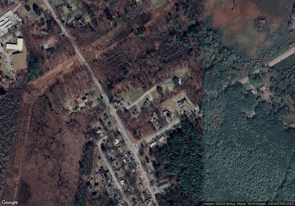
Map
Nearby Homes
- 540 Ocean Rd
- 445 Ocean Rd Unit 4
- 380 Ocean Rd Unit 9
- 26 Mariette Dr
- 163 Ocean Rd
- 60 Ocean Rd
- Unit 31 Summerwind Place Unit 31
- Unit 13 Summerwind Place Unit 13
- Unit 15 Summerwind Place Unit 15
- 16 Summerwind Place Unit 16
- Unit 3 Summerwind Place Unit 3
- Unit 1 Summerwind Place Unit 1
- Unit 25 Summerwind Place Unit 25
- 80 Constitution Ave Unit 225
- 80 Constitution Ave Unit 231
- 80 Constitution Ave Unit 310
- 80 Constitution Ave Unit 321
- 80 Constitution Ave Unit 411
- 80 Constitution Ave Unit 429
- 80 Constitution Ave Unit 222
- 500 Ocean Rd
- 1062 Banfield Rd
- 1060 Banfield Rd
- 1054 Banfield Rd
- 1057 Banfield Rd
- 1059 Banfield Rd
- 1055 Banfield Rd
- 530 Ocean Rd
- 535 Ocean Rd
- 1061 Banfield Rd
- 525 Ocean Rd
- 495 Ocean Rd
- 489 Ocean Rd
- 1051 Banfield Rd
- 247 Martha Terrace
- 480 Ocean Rd
- 226 Martha Terrace
- 487 Ocean Rd
- 545 Ocean Rd
- 206 Martha Terrace