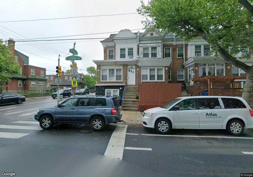
5200 Castor Ave Philadelphia, PA 19124
Lawncrest NeighborhoodEstimated Value: $271,581
2
Beds
1
Bath
2,480
Sq Ft
$110/Sq Ft
Est. Value
About This Home
This home is located at 5200 Castor Ave, Philadelphia, PA 19124 and is currently estimated at $271,581, approximately $109 per square foot. 5200 Castor Ave is a home located in Philadelphia County with nearby schools including Frankford High School, The Philadelphia Charter School for the Arts & Sciences, and Maritime Academy.
Ownership History
Date
Name
Owned For
Owner Type
Purchase Details
Closed on
Oct 9, 2020
Sold by
Hiraben Properties Llc
Bought by
Dl Pillars Llc
Current Estimated Value
Purchase Details
Closed on
Apr 14, 2016
Sold by
Wasko Gregory P and Wasko Anne M
Bought by
Hiraben Properties Llc
Home Financials for this Owner
Home Financials are based on the most recent Mortgage that was taken out on this home.
Original Mortgage
$160,000
Interest Rate
3.73%
Mortgage Type
Future Advance Clause Open End Mortgage
Create a Home Valuation Report for This Property
The Home Valuation Report is an in-depth analysis detailing your home's value as well as a comparison with similar homes in the area
Home Values in the Area
Average Home Value in this Area
Purchase History
| Date | Buyer | Sale Price | Title Company |
|---|---|---|---|
| Dl Pillars Llc | $180,000 | First Amer Abstract Of Pa Ll | |
| Hiraben Properties Llc | $200,000 | None Available |
Source: Public Records
Mortgage History
| Date | Status | Borrower | Loan Amount |
|---|---|---|---|
| Previous Owner | Hiraben Properties Llc | $160,000 |
Source: Public Records
Tax History Compared to Growth
Tax History
| Year | Tax Paid | Tax Assessment Tax Assessment Total Assessment is a certain percentage of the fair market value that is determined by local assessors to be the total taxable value of land and additions on the property. | Land | Improvement |
|---|---|---|---|---|
| 2026 | $3,106 | $221,900 | $17,734 | $204,166 |
| 2025 | $3,106 | $221,900 | $17,734 | $204,166 |
| 2024 | $3,106 | $221,900 | $17,734 | $204,166 |
| 2023 | $3,106 | $221,900 | $17,734 | $204,166 |
| 2022 | $3,106 | $221,900 | $17,734 | $204,166 |
| 2021 | $3,106 | $0 | $0 | $0 |
| 2020 | $3,106 | $0 | $0 | $0 |
| 2019 | $2,980 | $0 | $0 | $0 |
| 2018 | $2,980 | $0 | $0 | $0 |
| 2017 | $2,980 | $0 | $0 | $0 |
| 2016 | $2,980 | $0 | $0 | $0 |
| 2015 | $2,853 | $0 | $0 | $0 |
| 2014 | -- | $212,900 | $17,015 | $195,885 |
Source: Public Records
Map
Nearby Homes
- 1048 Bridge St
- 1137 Bridge St
- 5659 Miriam Rd
- 5661 Miriam Rd
- 5640 Miriam Rd
- 5505 Loretto Ave
- 1204 Pratt St
- 1218 Pratt St
- 1220 Pratt St
- 4046 E Roosevelt Blvd
- 1052 Allengrove St
- 991 Carver St
- 996 Anchor St
- 1208 Haworth St
- 934 Brill St
- 5118 Oakland St
- 1859 Harrison St
- 1214 Haworth St
- 934 E Sanger St
- 5347 Sylvester St
- 5202 Castor Ave
- 5204 Castor Ave
- 5206 Castor Ave
- 5208 Castor Ave
- 991 Pratt St
- 5210 Castor Ave
- 989 Pratt St
- 5148 Castor Ave
- 5212 Castor Ave
- 987 Pratt St
- 5214 Castor Ave
- 5146 Castor Ave
- 985 Pratt St
- 5216 Castor Ave
- 5218 Castor Ave
- 5144 Castor Ave
- 5203 Castor Ave
- 5220 Castor Ave
- 5205 Castor Ave
- 998 Pratt St