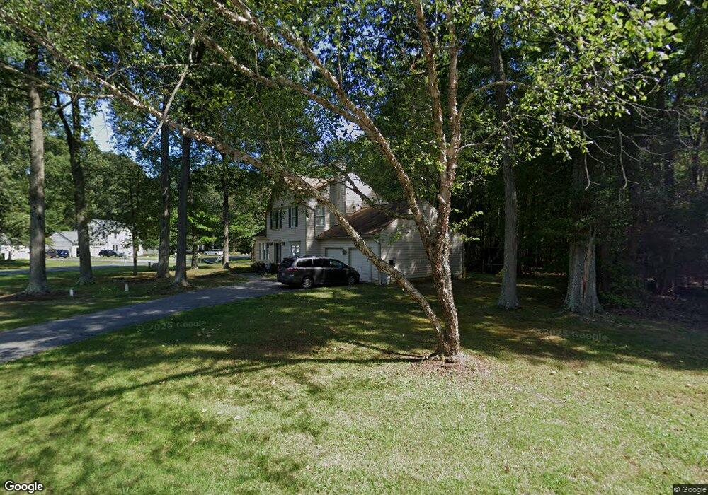
5205 Hawk Channel Dr West River, MD 20778
Estimated Value: $457,404 - $581,000
--
Bed
3
Baths
1,888
Sq Ft
$287/Sq Ft
Est. Value
About This Home
This home is located at 5205 Hawk Channel Dr, West River, MD 20778 and is currently estimated at $541,351, approximately $286 per square foot. 5205 Hawk Channel Dr is a home located in Anne Arundel County with nearby schools including Shady Side Elementary School, Southern Middle School, and Southern High School.
Ownership History
Date
Name
Owned For
Owner Type
Purchase Details
Closed on
Sep 19, 2024
Sold by
Cosgrove Richard P and Cosgrove Dana L
Bought by
Cosgrove Dana L
Current Estimated Value
Purchase Details
Closed on
Jul 18, 2000
Sold by
Mihaly Richard D
Bought by
Cosgrove Richard P and Cosgrove Dana L
Create a Home Valuation Report for This Property
The Home Valuation Report is an in-depth analysis detailing your home's value as well as a comparison with similar homes in the area
Home Values in the Area
Average Home Value in this Area
Purchase History
| Date | Buyer | Sale Price | Title Company |
|---|---|---|---|
| Cosgrove Dana L | -- | None Listed On Document | |
| Cosgrove Dana L | -- | None Listed On Document | |
| Cosgrove Richard P | $214,000 | -- |
Source: Public Records
Mortgage History
| Date | Status | Borrower | Loan Amount |
|---|---|---|---|
| Closed | Cosgrove Richard P | -- |
Source: Public Records
Tax History Compared to Growth
Tax History
| Year | Tax Paid | Tax Assessment Tax Assessment Total Assessment is a certain percentage of the fair market value that is determined by local assessors to be the total taxable value of land and additions on the property. | Land | Improvement |
|---|---|---|---|---|
| 2025 | $3,589 | $389,800 | -- | -- |
| 2024 | $3,589 | $377,300 | $0 | $0 |
| 2023 | $3,486 | $364,800 | $178,000 | $186,800 |
| 2022 | $3,269 | $364,800 | $178,000 | $186,800 |
| 2021 | $6,443 | $364,800 | $178,000 | $186,800 |
| 2020 | $3,151 | $379,500 | $178,000 | $201,500 |
| 2019 | $3,077 | $352,667 | $0 | $0 |
| 2018 | $3,304 | $325,833 | $0 | $0 |
| 2017 | $2,858 | $299,000 | $0 | $0 |
| 2016 | -- | $299,000 | $0 | $0 |
| 2015 | -- | $299,000 | $0 | $0 |
| 2014 | -- | $316,200 | $0 | $0 |
Source: Public Records
Map
Nearby Homes
- 5235 Chalk Point Rd
- 5162 Cedarlea Dr
- 5860 Shady Side Rd
- 5277 Cedar St
- 5771 Shady Side Rd
- 5365 Deale Churchton Rd
- 676 Plantation Blvd
- 1037 Biltmore Ave
- 4992 Lerch Dr
- 4938 Rullman Rd
- 6118 Shady Side Rd
- 6152 Shady Side Rd
- 6070 Shady Side Rd
- 5611 Battee Dr
- 1428 Haile Pkwy
- 1408 & 1410 Haile Pkwy
- 0 Shady Side Rd Unit MDAA2113156
- 0 Shady Side Rd Unit MDAA2113166
- 4908 Aspen St
- 1133 Steamboat Rd
- 903 Judge Ct E
- 5204 Hawk Channel Dr
- 900 Judge Ct E
- 1003 Judge Ct W
- 902 Judge Ct E
- 5207 Hawk Channel Dr
- 1000 Judge Ct W
- 904 Judge Ct E
- 1002 Hawk Channel Ct
- 1002 Judge Ct W
- 1005 Judge Ct W
- 1010 Red Maple View Terrace
- 906 Judge Ct E
- 5209 Hawk Channel Dr
- 1004 Hawk Channel Ct
- 5208 Hawk Channel Dr
- 5155 Cedarlea Dr
- 1004 Judge Ct W
- 1007 Judge Ct W
- 1011 Red Maple View Terrace