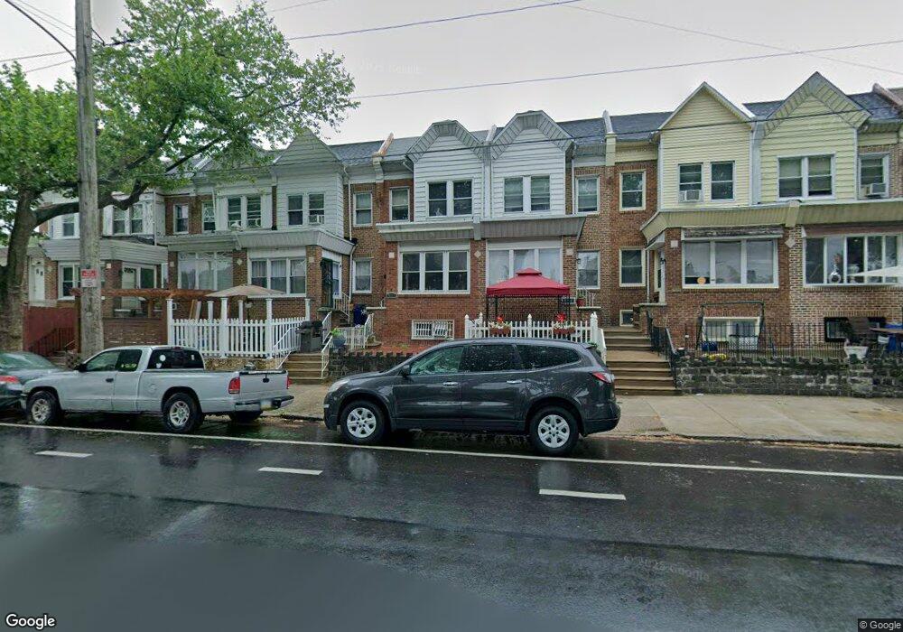
5208 Castor Ave Philadelphia, PA 19124
Lawncrest NeighborhoodEstimated Value: $225,000 - $248,000
4
Beds
3
Baths
1,432
Sq Ft
$161/Sq Ft
Est. Value
About This Home
This home is located at 5208 Castor Ave, Philadelphia, PA 19124 and is currently estimated at $231,029, approximately $161 per square foot. 5208 Castor Ave is a home located in Philadelphia County with nearby schools including Frankford High School, The Philadelphia Charter School for the Arts & Sciences, and Northwood Academy Charter School.
Ownership History
Date
Name
Owned For
Owner Type
Purchase Details
Closed on
Aug 13, 2004
Sold by
Tolan Carolyn S and Estate Of Bernice E Tolan
Bought by
Nolan Andersen Homes Inc
Current Estimated Value
Home Financials for this Owner
Home Financials are based on the most recent Mortgage that was taken out on this home.
Original Mortgage
$42,750
Interest Rate
6.02%
Mortgage Type
Purchase Money Mortgage
Create a Home Valuation Report for This Property
The Home Valuation Report is an in-depth analysis detailing your home's value as well as a comparison with similar homes in the area
Home Values in the Area
Average Home Value in this Area
Purchase History
| Date | Buyer | Sale Price | Title Company |
|---|---|---|---|
| Nolan Andersen Homes Inc | $54,000 | -- |
Source: Public Records
Mortgage History
| Date | Status | Borrower | Loan Amount |
|---|---|---|---|
| Previous Owner | Nolan Andersen Homes Inc | $42,750 |
Source: Public Records
Tax History Compared to Growth
Tax History
| Year | Tax Paid | Tax Assessment Tax Assessment Total Assessment is a certain percentage of the fair market value that is determined by local assessors to be the total taxable value of land and additions on the property. | Land | Improvement |
|---|---|---|---|---|
| 2026 | $2,177 | $198,700 | $39,740 | $158,960 |
| 2025 | $2,177 | $198,700 | $39,740 | $158,960 |
| 2024 | $2,177 | $198,700 | $39,740 | $158,960 |
| 2023 | $2,177 | $155,500 | $31,100 | $124,400 |
| 2022 | $1,547 | $110,500 | $31,100 | $79,400 |
| 2021 | $1,698 | $0 | $0 | $0 |
| 2020 | $1,698 | $0 | $0 | $0 |
| 2019 | $1,629 | $0 | $0 | $0 |
| 2018 | $1,638 | $0 | $0 | $0 |
| 2017 | $1,638 | $0 | $0 | $0 |
| 2016 | $1,218 | $0 | $0 | $0 |
| 2015 | $1,166 | $0 | $0 | $0 |
| 2014 | -- | $117,000 | $18,639 | $98,361 |
| 2012 | -- | $11,296 | $1,412 | $9,884 |
Source: Public Records
Map
Nearby Homes
- 1048 Bridge St
- 5659 Miriam Rd
- 5661 Miriam Rd
- 5640 Miriam Rd
- 5505 Loretto Ave
- 1137 Bridge St
- 991 Carver St
- 996 Anchor St
- 934 Brill St
- 934 E Sanger St
- 925 E Sanger St
- 1204 Pratt St
- 1225 E Cheltenham Ave
- 4046 E Roosevelt Blvd
- 1211 E Cheltenham Ave
- 894 Granite St
- 1218 Pratt St
- 1220 Pratt St
- 929 1/2 Anchor St
- 912 Anchor St
- 5210 Castor Ave
- 5206 Castor Ave
- 5204 Castor Ave
- 5212 Castor Ave
- 5214 Castor Ave
- 5202 Castor Ave
- 5200 Castor Ave
- 5216 Castor Ave
- 991 Pratt St
- 989 Pratt St
- 5218 Castor Ave
- 987 Pratt St
- 5220 Castor Ave
- 985 Pratt St
- 5224 Castor Ave
- 5226 Castor Ave
- 5148 Castor Ave
- 5228 Castor Ave
- 5205 Castor Ave
- 5211 Castor Ave