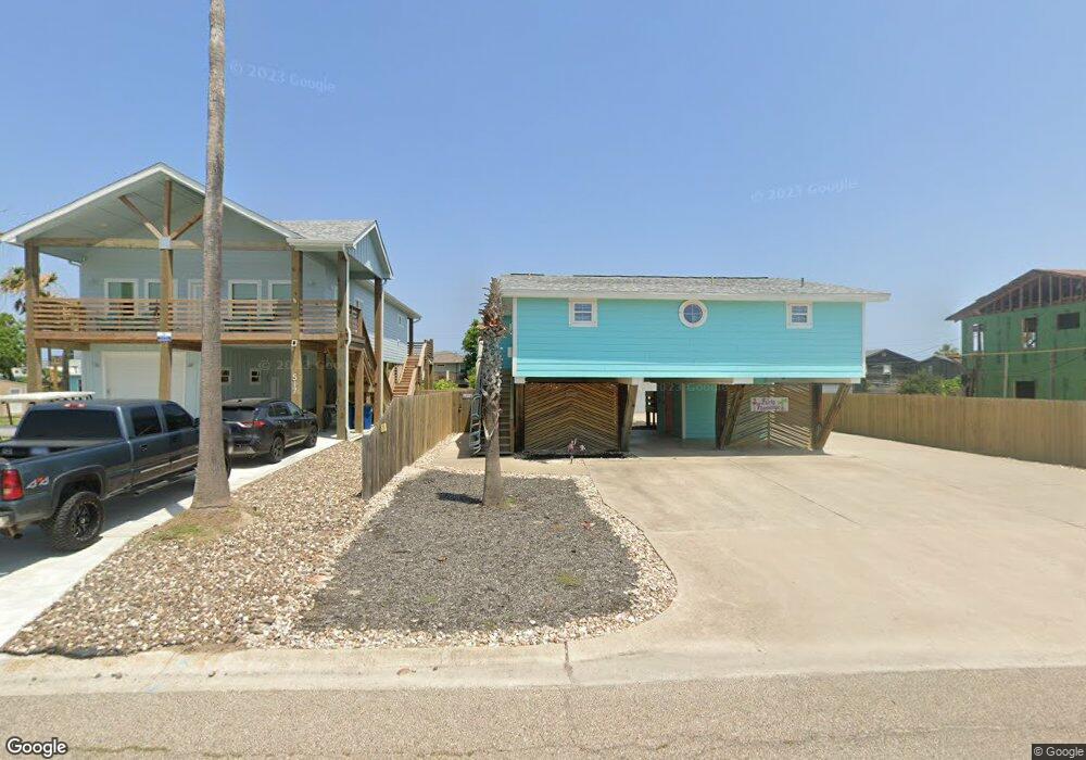
521 6th St Port Aransas, TX 78373
Padre Island NeighborhoodEstimated Value: $388,485 - $548,000
--
Bed
--
Bath
1,100
Sq Ft
$448/Sq Ft
Est. Value
About This Home
This home is located at 521 6th St, Port Aransas, TX 78373 and is currently estimated at $492,371, approximately $447 per square foot. 521 6th St is a home located in Nueces County with nearby schools including Olsen Elementary School, Brundrett Middle School, and Port Aransas High School.
Ownership History
Date
Name
Owned For
Owner Type
Purchase Details
Closed on
Jul 8, 2015
Sold by
Ray John E and Ray Joni B
Bought by
Scalf Jacqueline Nicole
Current Estimated Value
Home Financials for this Owner
Home Financials are based on the most recent Mortgage that was taken out on this home.
Original Mortgage
$231,280
Outstanding Balance
$180,653
Interest Rate
3.91%
Mortgage Type
New Conventional
Estimated Equity
$311,718
Create a Home Valuation Report for This Property
The Home Valuation Report is an in-depth analysis detailing your home's value as well as a comparison with similar homes in the area
Home Values in the Area
Average Home Value in this Area
Purchase History
| Date | Buyer | Sale Price | Title Company |
|---|---|---|---|
| Scalf Jacqueline Nicole | -- | Stewart Title |
Source: Public Records
Mortgage History
| Date | Status | Borrower | Loan Amount |
|---|---|---|---|
| Open | Scalf Jacqueline Nicole | $231,280 |
Source: Public Records
Tax History Compared to Growth
Tax History
| Year | Tax Paid | Tax Assessment Tax Assessment Total Assessment is a certain percentage of the fair market value that is determined by local assessors to be the total taxable value of land and additions on the property. | Land | Improvement |
|---|---|---|---|---|
| 2025 | $4,937 | $267,528 | $134,986 | $132,542 |
| 2024 | $4,937 | $384,000 | $0 | $0 |
| 2023 | $4,044 | $320,000 | $76,320 | $243,680 |
| 2022 | $5,140 | $332,598 | $76,320 | $256,278 |
| 2021 | $3,775 | $222,652 | $44,064 | $178,588 |
| 2020 | $4,007 | $227,458 | $44,064 | $183,394 |
| 2019 | $3,407 | $183,190 | $44,064 | $139,126 |
| 2018 | $1,034 | $56,547 | $44,064 | $12,483 |
| 2017 | $4,522 | $247,780 | $48,960 | $198,820 |
| 2016 | $5,379 | $294,732 | $43,200 | $251,532 |
| 2015 | $2,338 | $184,328 | $28,800 | $155,528 |
| 2014 | $2,338 | $194,108 | $28,800 | $165,308 |
Source: Public Records
Map
Nearby Homes
- 513 6th St
- 517 West Ave E
- 501 6th St
- 509 West Ave E
- 419 6th St
- 607 S Gulf St
- 413 6th St
- 424 W Avenue E Unit 1
- 424 W Avenue E Unit 2
- 710 Tropic Ln
- 423 S 7th St
- 515 W Avenue C
- 304 W Avenue F Unit 11
- 417-421 W Avenue C
- 509 Rockport Channel
- 614 W Avenue C
- 512 Rockport Channel
- Unit 4,5,6,7,8,9 State Highway 361
- 405 W Avenue C
- 614 Harper St