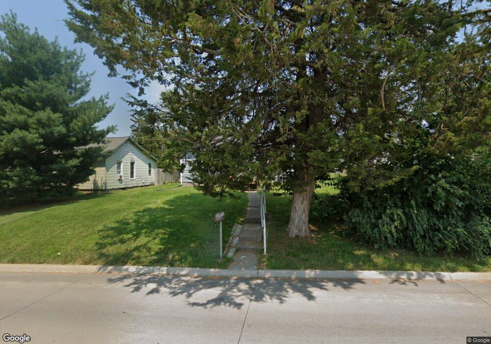
521 Clay St Muscatine, IA 52761
Estimated Value: $118,000 - $130,000
3
Beds
1
Bath
864
Sq Ft
$145/Sq Ft
Est. Value
About This Home
This home is located at 521 Clay St, Muscatine, IA 52761 and is currently estimated at $125,106, approximately $144 per square foot. 521 Clay St is a home located in Muscatine County with nearby schools including Madison Elementary School, Central Middle School, and Susan Clark Junior High School.
Ownership History
Date
Name
Owned For
Owner Type
Purchase Details
Closed on
Mar 5, 2007
Sold by
Honts Dale S and Honts Dale Dtanley
Bought by
Chruch Sycamore Bapist
Current Estimated Value
Home Financials for this Owner
Home Financials are based on the most recent Mortgage that was taken out on this home.
Original Mortgage
$100,000
Outstanding Balance
$60,991
Interest Rate
6.4%
Mortgage Type
Purchase Money Mortgage
Estimated Equity
$64,115
Create a Home Valuation Report for This Property
The Home Valuation Report is an in-depth analysis detailing your home's value as well as a comparison with similar homes in the area
Home Values in the Area
Average Home Value in this Area
Purchase History
| Date | Buyer | Sale Price | Title Company |
|---|---|---|---|
| Chruch Sycamore Bapist | $87,000 | None Available |
Source: Public Records
Mortgage History
| Date | Status | Borrower | Loan Amount |
|---|---|---|---|
| Open | Chruch Sycamore Bapist | $100,000 |
Source: Public Records
Tax History Compared to Growth
Tax History
| Year | Tax Paid | Tax Assessment Tax Assessment Total Assessment is a certain percentage of the fair market value that is determined by local assessors to be the total taxable value of land and additions on the property. | Land | Improvement |
|---|---|---|---|---|
| 2025 | $2,148 | $119,600 | $25,930 | $93,670 |
| 2024 | $2,148 | $118,530 | $25,930 | $92,600 |
| 2023 | $2,252 | $115,169 | $25,885 | $89,284 |
| 2022 | $2,064 | $111,980 | $24,420 | $87,560 |
| 2021 | $2,064 | $101,130 | $24,420 | $76,710 |
| 2020 | $1,998 | $98,700 | $24,420 | $74,280 |
| 2019 | $1,960 | $88,760 | $0 | $0 |
| 2018 | $1,932 | $88,620 | $0 | $0 |
| 2017 | $1,932 | $88,530 | $0 | $0 |
| 2016 | $2,002 | $88,530 | $0 | $0 |
| 2015 | $2,002 | $87,970 | $0 | $0 |
| 2014 | $2,002 | $87,970 | $0 | $0 |
Source: Public Records
Map
Nearby Homes
- 514 Jackson St
- 416 Jackson St
- 630 Jackson St
- 1416 Lincoln Blvd
- 1414 Lincoln Blvd
- 504 Adams St
- 1509 Lincoln Blvd
- 1707 Lincoln Blvd
- 1507 Grand Ave
- 318 Monroe St
- 503 Mcarthur St
- 2016 Lincoln Blvd
- 0 Fillmore St Parcel
- 613 Lake Park Blvd
- 2020 Bidwell Rd
- 1903 Park Ave
- 1903 Park Ave
- 1110 E 10th St
- 1010 Lombard St
- 32 Coventry Ln
- 523 Clay St
- 509 Clay St
- 603 Clay St
- 507 Clay St
- 0 Clay Unit 7022511
- 0 Clay Unit 7024340
- 0 Clay Unit 7024339
- 1425 Howard Ave
- 505 Clay St
- 517 Subvanburen St
- 1421 King Ave
- 519 Subvanburen St
- 515 Subvanburen St
- 512 Clay St
- 601 Subvanburen St
- 507 Subvanburen St
- 609 Sub van Buren
- 605 Subvanburen St
- 605 Sub van Buren
- 1419 King Ave