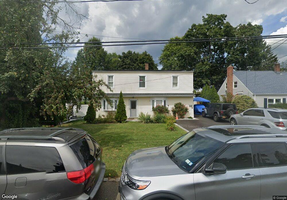
521 Irving St Westbury, NY 11590
Estimated Value: $661,441 - $763,000
--
Bed
2
Baths
2,079
Sq Ft
$343/Sq Ft
Est. Value
About This Home
This home is located at 521 Irving St, Westbury, NY 11590 and is currently estimated at $712,221, approximately $342 per square foot. 521 Irving St is a home located in Nassau County with nearby schools including Westbury Middle School, Westbury High School, and St Brigid/Our Lady Of Hope Regional School.
Ownership History
Date
Name
Owned For
Owner Type
Purchase Details
Closed on
Jan 30, 2024
Sold by
Silvers Jeannine H and Martinez Jose M
Bought by
Silvers Jeannett
Current Estimated Value
Home Financials for this Owner
Home Financials are based on the most recent Mortgage that was taken out on this home.
Original Mortgage
$532,500
Outstanding Balance
$525,274
Interest Rate
7.99%
Mortgage Type
New Conventional
Estimated Equity
$186,947
Purchase Details
Closed on
Apr 16, 2021
Sold by
Silvers Jeannett
Bought by
Martinez Jose M and Silvers Jeannett
Create a Home Valuation Report for This Property
The Home Valuation Report is an in-depth analysis detailing your home's value as well as a comparison with similar homes in the area
Home Values in the Area
Average Home Value in this Area
Purchase History
| Date | Buyer | Sale Price | Title Company |
|---|---|---|---|
| Silvers Jeannett | -- | Fidelity National Ttl Ins Co | |
| Silvers Jeannett | -- | Fidelity National Ttl Ins Co | |
| Martinez Jose M | -- | None Available | |
| Martinez Jose M | -- | None Available |
Source: Public Records
Mortgage History
| Date | Status | Borrower | Loan Amount |
|---|---|---|---|
| Open | Silvers Jeannett | $532,500 | |
| Closed | Silvers Jeannett | $532,500 |
Source: Public Records
Tax History Compared to Growth
Tax History
| Year | Tax Paid | Tax Assessment Tax Assessment Total Assessment is a certain percentage of the fair market value that is determined by local assessors to be the total taxable value of land and additions on the property. | Land | Improvement |
|---|---|---|---|---|
| 2025 | $12,543 | $409 | $188 | $221 |
| 2024 | $3,228 | $409 | $188 | $221 |
| 2023 | $13,765 | $409 | $188 | $221 |
| 2022 | $13,765 | $409 | $188 | $221 |
| 2021 | $14,872 | $393 | $181 | $212 |
| 2020 | $15,819 | $787 | $524 | $263 |
| 2019 | $14,410 | $787 | $524 | $263 |
| 2018 | $14,410 | $787 | $0 | $0 |
| 2017 | $10,811 | $787 | $524 | $263 |
| 2016 | $13,959 | $787 | $524 | $263 |
| 2015 | $3,021 | $787 | $524 | $263 |
| 2014 | $3,021 | $787 | $524 | $263 |
| 2013 | $2,835 | $787 | $524 | $263 |
Source: Public Records
Map
Nearby Homes
- 54 School St Unit 315
- 20 Longfellow Ave
- 646 Whittier St
- 671 Whittier St
- 130 Post Ave Unit 303
- 130 Post Ave Unit 322
- 130 Post Ave Unit 316
- 130 Post Ave Unit 202
- 330 Maple Ave Unit 25
- 474 Newton St
- 89 5th Ave
- 537 Church St
- 2001 Wellington Ct
- 135 Post Ave Unit 5O
- 135 Post Ave Unit 2Q
- 2040 Wellington Ct
- 242 Maple Ave Unit 501
- 242 Maple Ave Unit 513
- 906 Bromton Dr
- 254 Brook St