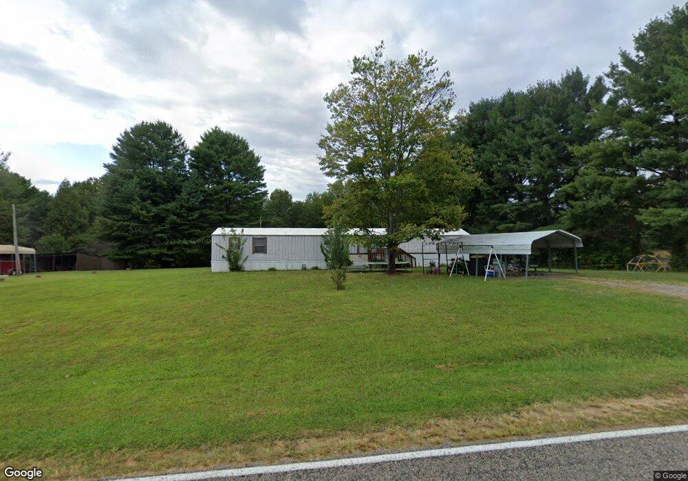
521 Snody Rd Mount Airy, NC 27030
Estimated Value: $66,000 - $104,587
--
Bed
--
Bath
--
Sq Ft
5
Acres
About This Home
This home is located at 521 Snody Rd, Mount Airy, NC 27030 and is currently estimated at $85,294. 521 Snody Rd is a home with nearby schools including Westfield Elementary School, Pilot Mountain Middle School, and East Surry High School.
Ownership History
Date
Name
Owned For
Owner Type
Purchase Details
Closed on
Dec 22, 2009
Sold by
Sands Michael L and Sands Deborah Bowman
Bought by
Brim Ronald Jay
Current Estimated Value
Purchase Details
Closed on
Jul 6, 2007
Sold by
Moore Cynthia Denise
Bought by
Sands Michael L and Sands Deborah Bowman
Home Financials for this Owner
Home Financials are based on the most recent Mortgage that was taken out on this home.
Original Mortgage
$29,000
Interest Rate
6.35%
Mortgage Type
New Conventional
Create a Home Valuation Report for This Property
The Home Valuation Report is an in-depth analysis detailing your home's value as well as a comparison with similar homes in the area
Home Values in the Area
Average Home Value in this Area
Purchase History
| Date | Buyer | Sale Price | Title Company |
|---|---|---|---|
| Brim Ronald Jay | $47,000 | None Available | |
| Sands Michael L | $23,000 | None Available |
Source: Public Records
Mortgage History
| Date | Status | Borrower | Loan Amount |
|---|---|---|---|
| Previous Owner | Sands Michael L | $29,000 |
Source: Public Records
Tax History Compared to Growth
Tax History
| Year | Tax Paid | Tax Assessment Tax Assessment Total Assessment is a certain percentage of the fair market value that is determined by local assessors to be the total taxable value of land and additions on the property. | Land | Improvement |
|---|---|---|---|---|
| 2025 | $294 | $31,450 | $23,280 | $8,170 |
| 2024 | $262 | $24,950 | $18,000 | $6,950 |
| 2023 | $255 | $24,950 | $18,000 | $6,950 |
| 2022 | $253 | $24,950 | $18,000 | $6,950 |
| 2021 | $254 | $24,950 | $18,000 | $6,950 |
| 2020 | $261 | $24,950 | $18,000 | $6,950 |
| 2019 | $262 | $24,950 | $0 | $0 |
| 2018 | $265 | $24,950 | $0 | $0 |
| 2017 | $250 | $24,950 | $0 | $0 |
| 2016 | $255 | $24,950 | $0 | $0 |
| 2013 | -- | $23,200 | $0 | $0 |
Source: Public Records
Map
Nearby Homes
- 583 Snody Rd
- 0 Blue Hollow Rd Unit 33 1176021
- 0 Blue Hollow Rd Unit 23105199
- 000 Blue Hollow Rd Unit 27
- 00 Blue Hollow Rd Unit 5
- 107 Cory Trail
- 0 NE Pine St
- 733 Slate Mountain Rd
- 731 Indian Grove Church Rd
- 140 Daniels Dell Ln
- 0 Norman Rd
- 200 Englewood Trail
- 00 Paynetown Rd
- Lot 4,5,6 Sideview Ln
- 7.8ac Norman Rd
- 335 Badgett Ave
- xx 44.93 Acres Stardust Trail
- 124 Rocky Ln
- 1970 Mcbride Rd
- 280 Burke Rd
- 0000 Snody Rd
- 00 Snody Rd
- 531 Snody Rd
- 482 Snody Rd
- 475 Snody Rd
- 107 Windwood Trail
- 116 Two By Two Trail
- 431 Snody Rd
- 396 Snody Rd
- 354 Snody Rd
- 399 Snody Rd
- 918 Blue Hollow Rd
- 300 Snody Rd
- 401 Lazy Brook Ln
- 314 Lazy Brook Ln
- 336 Lazy Brook Ln
- 920 Blue Hollow Rd
- 916 Blue Hollow Rd
- 942 Blue Hollow Rd
- 970 Blue Hollow Rd