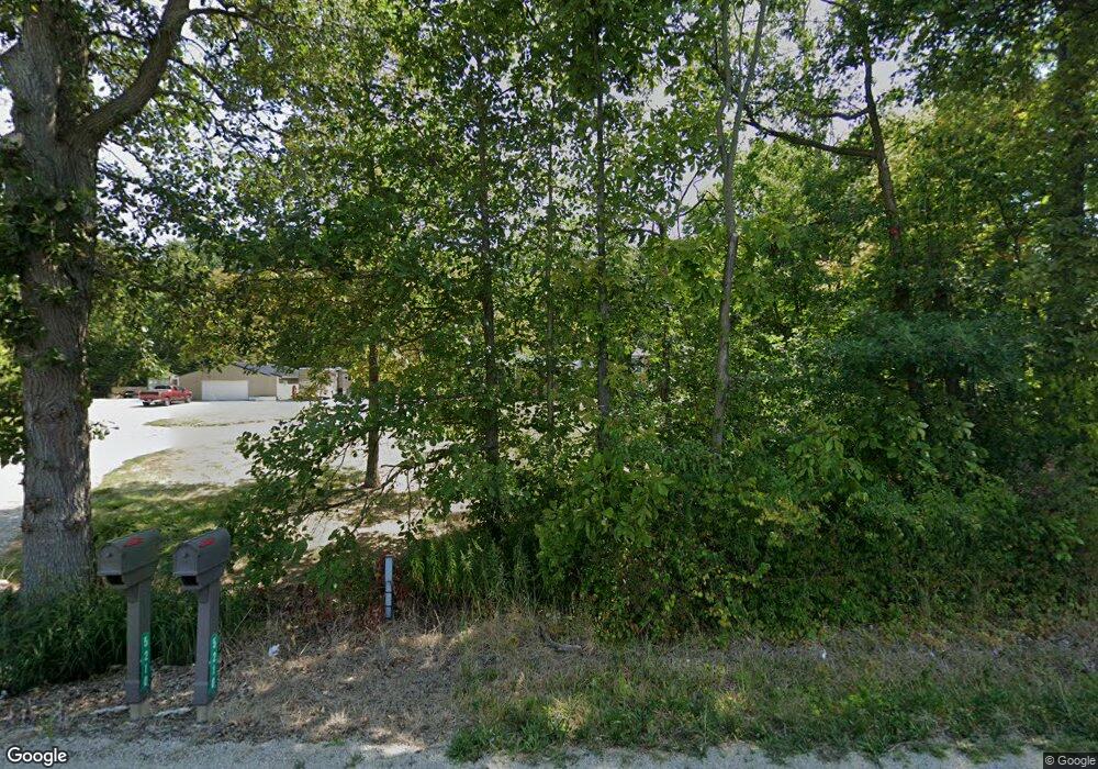
5210 Brook Rd NW Lancaster, OH 43130
Estimated Value: $364,000 - $482,000
3
Beds
2
Baths
2,060
Sq Ft
$207/Sq Ft
Est. Value
About This Home
This home is located at 5210 Brook Rd NW, Lancaster, OH 43130 and is currently estimated at $426,838, approximately $207 per square foot. 5210 Brook Rd NW is a home located in Fairfield County with nearby schools including Bloom Carroll Primary School, Bloom Carroll Intermediate School, and Bloom-Carroll Middle School.
Ownership History
Date
Name
Owned For
Owner Type
Purchase Details
Closed on
Aug 3, 2015
Sold by
Willard Steven R and Willard Melissa L
Bought by
Frazier Karen A and Frazier Scott C
Current Estimated Value
Home Financials for this Owner
Home Financials are based on the most recent Mortgage that was taken out on this home.
Original Mortgage
$166,250
Interest Rate
4.08%
Mortgage Type
New Conventional
Create a Home Valuation Report for This Property
The Home Valuation Report is an in-depth analysis detailing your home's value as well as a comparison with similar homes in the area
Home Values in the Area
Average Home Value in this Area
Purchase History
| Date | Buyer | Sale Price | Title Company |
|---|---|---|---|
| Frazier Karen A | $175,000 | First Ohio Title Ins Box |
Source: Public Records
Mortgage History
| Date | Status | Borrower | Loan Amount |
|---|---|---|---|
| Closed | Frazier Karen A | $166,250 |
Source: Public Records
Tax History Compared to Growth
Tax History
| Year | Tax Paid | Tax Assessment Tax Assessment Total Assessment is a certain percentage of the fair market value that is determined by local assessors to be the total taxable value of land and additions on the property. | Land | Improvement |
|---|---|---|---|---|
| 2024 | $8,086 | $100,200 | $26,120 | $74,080 |
| 2023 | $4,308 | $98,300 | $26,120 | $72,180 |
| 2022 | $4,339 | $98,300 | $26,120 | $72,180 |
| 2021 | $3,541 | $78,630 | $21,770 | $56,860 |
| 2020 | $3,584 | $78,630 | $21,770 | $56,860 |
| 2019 | $3,599 | $78,630 | $21,770 | $56,860 |
| 2018 | $2,303 | $64,310 | $17,420 | $46,890 |
| 2017 | $2,161 | $51,840 | $17,420 | $34,420 |
| 2016 | $2,096 | $51,840 | $17,420 | $34,420 |
| 2015 | $2,079 | $48,900 | $17,420 | $31,480 |
| 2014 | $1,989 | $48,900 | $17,420 | $31,480 |
| 2013 | $1,989 | $48,900 | $17,420 | $31,480 |
Source: Public Records
Map
Nearby Homes
- 0 Brook Rd NW
- 5870 Brook Rd NW
- 2831 Sterling Dr NW
- 5095 Lancaster Kirkersville Rd NW
- 4345 Lancaster Kirkersville Rd NW
- 1705 Ginder Rd NW
- 3515 Election House Rd NW
- 1502 Leonard Rd NW
- 1350 Leonard Rd NW
- 6990 Bader Rd NW
- 4656 Meadow Grove Dr NW
- 1080 Coonpath Rd NW
- 133 N Creekview Ct
- 0 Fremar Rd NE Unit Lot1 225007256
- 0 S Company St Unit Lot 2 225029545
- 0 S Company St Unit Lot 1 225029543
- 0 Coonpath Rd NW Unit Tract 4 224028093
- 0 Coonpath Rd NW Unit Tract 7 224028097
- 2865 Stringtown Rd NW
- 111 N High St
- 5213 Brook Rd NW
- 5227 Brook Rd NW
- 5177 Brook Rd NW
- 5253 Brook Rd NW
- 5270 Brook Rd NW
- 5275 Brook Rd NW
- 5150 Brook Rd NW
- 5145 Brook Rd NW
- 5300 Brook Rd NW
- 5305 Brook Rd NW
- 5113 Brook Rd NW
- 5315 Brook Rd NW
- 5090 Brook Rd NW
- 5320 Brook Rd NW
- 5060 Brook Rd NW
- 5336 Brook Rd NW
- 5049 Brook Rd NW
- 5350 Brook Rd NW
- 1980 Carroll Eastern Rd NW
- 1936 Carroll Eastern Rd NW
