52139 390th St Paynesville, MN 56362
Estimated Value: $333,111 - $347,000
2
Beds
2
Baths
3,178
Sq Ft
$108/Sq Ft
Est. Value
About This Home
This home is located at 52139 390th St, Paynesville, MN 56362 and is currently estimated at $343,028, approximately $107 per square foot. 52139 390th St is a home located in Meeker County with nearby schools including Paynesville Elementary School, Paynesville Middle School, and Paynesville Area High School.
Ownership History
Date
Name
Owned For
Owner Type
Purchase Details
Closed on
Sep 15, 2020
Sold by
Noyes Jeanette A
Bought by
Chupp Michael and Chupp Rosanna
Current Estimated Value
Home Financials for this Owner
Home Financials are based on the most recent Mortgage that was taken out on this home.
Original Mortgage
$221,350
Outstanding Balance
$196,069
Interest Rate
2.8%
Mortgage Type
New Conventional
Estimated Equity
$146,959
Purchase Details
Closed on
Jul 27, 2015
Sold by
Schmidt Lawrence Lawrence
Bought by
Noyes Jeanette Jeanette
Create a Home Valuation Report for This Property
The Home Valuation Report is an in-depth analysis detailing your home's value as well as a comparison with similar homes in the area
Home Values in the Area
Average Home Value in this Area
Purchase History
| Date | Buyer | Sale Price | Title Company |
|---|---|---|---|
| Chupp Michael | $233,000 | None Available | |
| Noyes Jeanette Jeanette | $309,000 | -- |
Source: Public Records
Mortgage History
| Date | Status | Borrower | Loan Amount |
|---|---|---|---|
| Open | Chupp Michael | $221,350 |
Source: Public Records
Tax History Compared to Growth
Tax History
| Year | Tax Paid | Tax Assessment Tax Assessment Total Assessment is a certain percentage of the fair market value that is determined by local assessors to be the total taxable value of land and additions on the property. | Land | Improvement |
|---|---|---|---|---|
| 2025 | $2,076 | $317,200 | $90,800 | $226,400 |
| 2024 | $2,076 | $275,900 | $75,600 | $200,300 |
| 2023 | $1,584 | $264,000 | $75,600 | $188,400 |
| 2022 | $1,430 | $184,200 | $54,000 | $130,200 |
| 2021 | $1,434 | $164,300 | $49,200 | $115,100 |
| 2020 | $1,390 | $157,800 | $48,000 | $109,800 |
| 2019 | $1,242 | $150,300 | $46,000 | $104,300 |
| 2018 | $1,132 | $144,500 | $46,000 | $98,500 |
| 2017 | $1,162 | $132,300 | $40,000 | $92,300 |
| 2016 | $768 | $134,100 | $40,000 | $94,100 |
| 2015 | $952 | $0 | $0 | $0 |
| 2014 | $952 | $0 | $0 | $0 |
Source: Public Records
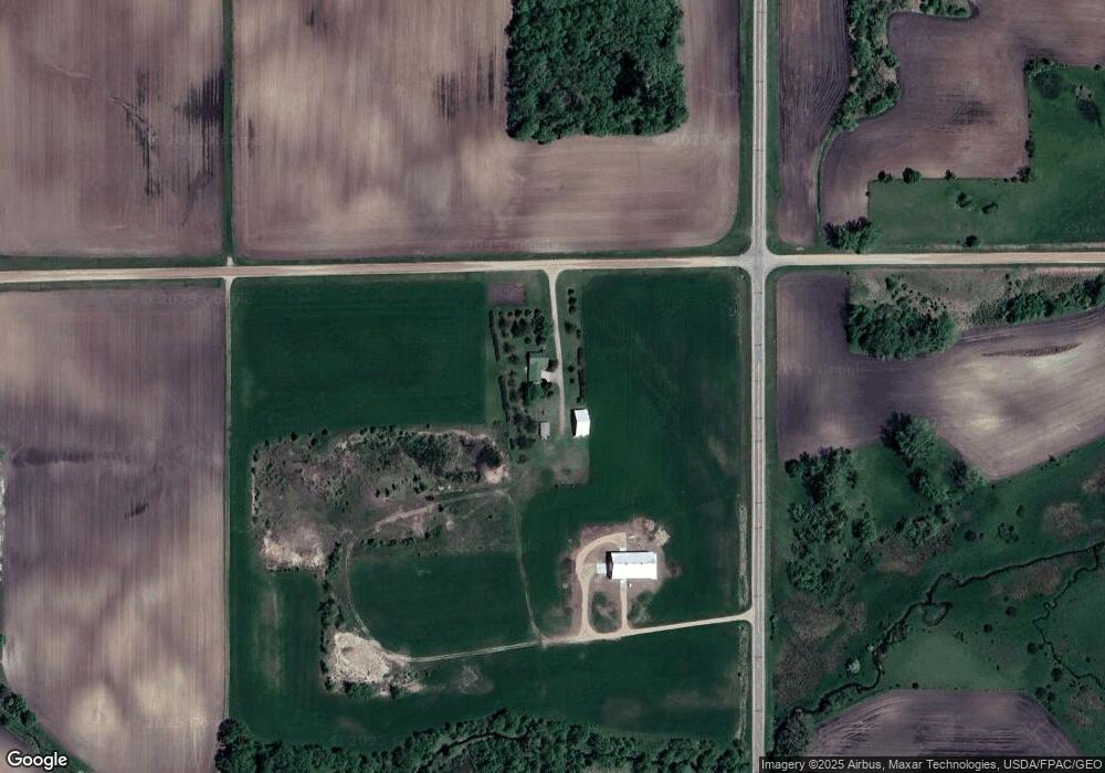
Map
Nearby Homes
- 14855 Linden Hill Rd
- 27795 Stonegate Rd
- 27763 Stonegate Rd
- 27798 Stonegate Rd
- 27755 Stonegate Rd
- 27829 Stonegate Rd
- 27822 Stonegate Rd
- 14856 Old Lake Rd
- 14574 Old Lake Rd
- 14919 Cedardale Rd
- 15889 Old Lake Rd
- 15976 Cushing Rd
- 28413 Cherrywood Rd
- 28401 Cherrywood Rd
- 28418 Cherrywood Rd
- 28780 Clarence Ct
- 28653 Clarence Ct
- 28621 Clarence Ct
- 28726 Clarence Ct
- 28707 Clarence Ct