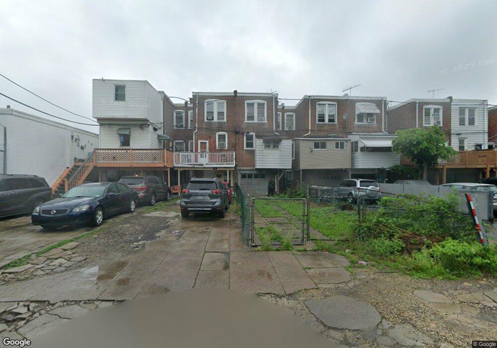
5219 Roosevelt Blvd Philadelphia, PA 19124
Lawncrest NeighborhoodEstimated Value: $218,970 - $230,000
3
Beds
1
Bath
1,378
Sq Ft
$163/Sq Ft
Est. Value
About This Home
This home is located at 5219 Roosevelt Blvd, Philadelphia, PA 19124 and is currently estimated at $223,993, approximately $162 per square foot. 5219 Roosevelt Blvd is a home located in Philadelphia County with nearby schools including Frankford High School, The Philadelphia Charter School for the Arts & Sciences, and Northwood Academy Charter School.
Ownership History
Date
Name
Owned For
Owner Type
Purchase Details
Closed on
Jun 26, 2000
Sold by
Federal Home Loan Mortgage Corporation
Bought by
Botwin Bruce P
Current Estimated Value
Purchase Details
Closed on
Mar 30, 2000
Sold by
Antonini Ernest and Antonini Jean
Bought by
Federal Home Loan Mortgage Corporation
Create a Home Valuation Report for This Property
The Home Valuation Report is an in-depth analysis detailing your home's value as well as a comparison with similar homes in the area
Home Values in the Area
Average Home Value in this Area
Purchase History
| Date | Buyer | Sale Price | Title Company |
|---|---|---|---|
| Botwin Bruce P | $33,600 | -- | |
| Federal Home Loan Mortgage Corporation | $4,800 | -- |
Source: Public Records
Tax History Compared to Growth
Tax History
| Year | Tax Paid | Tax Assessment Tax Assessment Total Assessment is a certain percentage of the fair market value that is determined by local assessors to be the total taxable value of land and additions on the property. | Land | Improvement |
|---|---|---|---|---|
| 2026 | $2,221 | $204,100 | $40,820 | $163,280 |
| 2025 | $2,221 | $204,100 | $40,820 | $163,280 |
| 2024 | $2,221 | $204,100 | $40,820 | $163,280 |
| 2023 | $2,221 | $158,700 | $31,740 | $126,960 |
| 2022 | $1,074 | $113,700 | $31,740 | $81,960 |
| 2021 | $1,704 | $0 | $0 | $0 |
| 2020 | $1,704 | $0 | $0 | $0 |
| 2019 | $1,635 | $0 | $0 | $0 |
| 2018 | $1,260 | $0 | $0 | $0 |
| 2017 | $1,680 | $0 | $0 | $0 |
| 2016 | $1,260 | $0 | $0 | $0 |
| 2015 | $1,206 | $0 | $0 | $0 |
| 2014 | -- | $120,000 | $28,065 | $91,935 |
| 2012 | -- | $11,296 | $2,124 | $9,172 |
Source: Public Records
Map
Nearby Homes
- 1048 Bridge St
- 5505 Loretto Ave
- 5640 Miriam Rd
- 5659 Miriam Rd
- 5661 Miriam Rd
- 934 Brill St
- 4046 E Roosevelt Blvd
- 991 Carver St
- 996 Anchor St
- 934 E Sanger St
- 1137 Bridge St
- 894 Granite St
- 925 E Sanger St
- 880 Granite St
- 1204 Pratt St
- 894 E Sanger St
- 1225 E Cheltenham Ave
- 929 1/2 Anchor St
- 1052 Allengrove St
- 1211 E Cheltenham Ave
- 5217 Roosevelt Blvd
- 5221 Roosevelt Blvd
- 5223 Roosevelt Blvd
- 5215 Roosevelt Blvd
- 5225 Roosevelt Blvd
- 5227 Roosevelt Blvd
- 5229 Roosevelt Blvd
- 5231 Roosevelt Blvd
- 5233 Roosevelt Blvd
- 985 Pratt St
- 987 Pratt St
- 5235 Roosevelt Blvd
- 989 Pratt St
- 5235 E Roosevelt Blvd
- 5237 Roosevelt Blvd
- 991 Pratt St
- 5239 Roosevelt Blvd
- 5241 Roosevelt Blvd
- 5220 Castor Ave
- 5212 Castor Ave