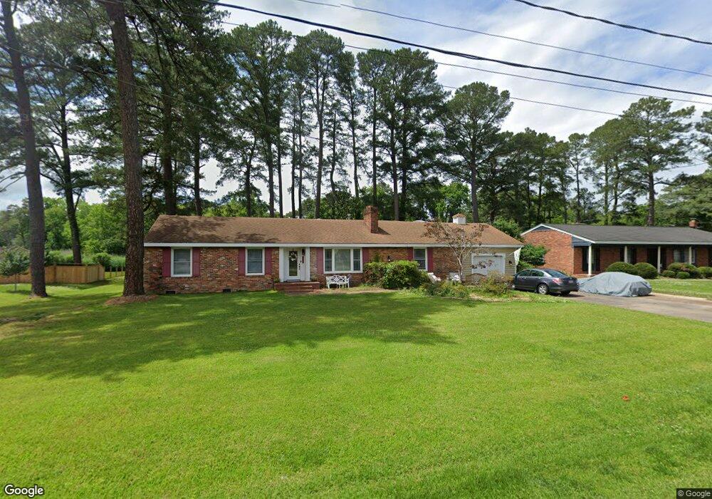
5229 Amherst Dr Portsmouth, VA 23703
Churchland NeighborhoodEstimated Value: $341,839 - $403,000
3
Beds
2
Baths
1,670
Sq Ft
$218/Sq Ft
Est. Value
About This Home
This home is located at 5229 Amherst Dr, Portsmouth, VA 23703 and is currently estimated at $364,710, approximately $218 per square foot. 5229 Amherst Dr is a home located in Portsmouth City with nearby schools including Churchland Elementary School, Churchland Academy Elementary School, and Churchland Middle School.
Ownership History
Date
Name
Owned For
Owner Type
Purchase Details
Closed on
May 3, 2001
Sold by
Edmonds Walter M
Bought by
Dore Steven S
Current Estimated Value
Home Financials for this Owner
Home Financials are based on the most recent Mortgage that was taken out on this home.
Original Mortgage
$140,300
Outstanding Balance
$51,065
Interest Rate
6.85%
Estimated Equity
$313,645
Purchase Details
Closed on
Sep 15, 1999
Sold by
Wood Wilsie M
Bought by
Edmonds Walter M
Home Financials for this Owner
Home Financials are based on the most recent Mortgage that was taken out on this home.
Original Mortgage
$110,300
Interest Rate
7.83%
Create a Home Valuation Report for This Property
The Home Valuation Report is an in-depth analysis detailing your home's value as well as a comparison with similar homes in the area
Home Values in the Area
Average Home Value in this Area
Purchase History
| Date | Buyer | Sale Price | Title Company |
|---|---|---|---|
| Dore Steven S | $155,900 | -- | |
| Edmonds Walter M | $138,000 | -- |
Source: Public Records
Mortgage History
| Date | Status | Borrower | Loan Amount |
|---|---|---|---|
| Open | Dore Steven S | $140,300 | |
| Previous Owner | Edmonds Walter M | $110,300 |
Source: Public Records
Tax History Compared to Growth
Tax History
| Year | Tax Paid | Tax Assessment Tax Assessment Total Assessment is a certain percentage of the fair market value that is determined by local assessors to be the total taxable value of land and additions on the property. | Land | Improvement |
|---|---|---|---|---|
| 2025 | $3,514 | $273,390 | $86,980 | $186,410 |
| 2024 | $3,514 | $271,830 | $86,980 | $184,850 |
| 2023 | $3,378 | $270,260 | $86,980 | $183,280 |
| 2022 | $3,412 | $262,440 | $86,980 | $175,460 |
| 2021 | $3,154 | $242,650 | $82,840 | $159,810 |
| 2020 | $2,961 | $227,750 | $78,890 | $148,860 |
| 2019 | $3,062 | $235,570 | $78,890 | $156,680 |
| 2018 | $3,062 | $235,570 | $78,890 | $156,680 |
| 2017 | $3,062 | $235,570 | $78,890 | $156,680 |
| 2016 | $3,062 | $235,570 | $78,890 | $156,680 |
| 2015 | $3,062 | $235,570 | $78,890 | $156,680 |
| 2014 | $2,992 | $235,570 | $78,890 | $156,680 |
Source: Public Records
Map
Nearby Homes
- 5302 High St W
- 5221 High St W
- 5304 High St W
- 3101 Laurel Ln
- 3205 Clover Hill Dr
- 5220 Clover Hill Dr
- 3233 Clover Hill Dr
- 5111 Sweetbriar Cir
- 3432 Carter Rd
- 3000 Ferguson Dr
- 4011 Reese Dr S
- 3110 Sterling Way Unit 62
- 5006 High St W
- 3200 Westwood Crescent
- 3425 Cedar Ln
- 3509 Spence Rd
- 1047 Christiana Cir Unit 40
- 1004 Christiana Cir
- 3209 Tyre Neck Rd
- 3917 Oak Dr E
- 5233 Amherst Dr
- 5225 Amherst Dr
- 5228 Amherst Dr
- 5229 High St W
- 5319 High St W
- 5221 Amherst Dr
- 5224 Amherst Dr
- 5225 High St W
- 5217 Amherst Dr
- 3107 Honeysuckle Ln
- 5231 Sweetbriar Cir
- 5227 Sweetbriar Cir
- 5229 Sweetbriar Cir
- 5300 High St W
- 5233 Sweetbriar Cir
- 5315 High St W
- 5213 Amherst Dr
- 5235 Sweetbriar Cir
- 3200 Clover Hill Dr
- 5216 Amherst Dr