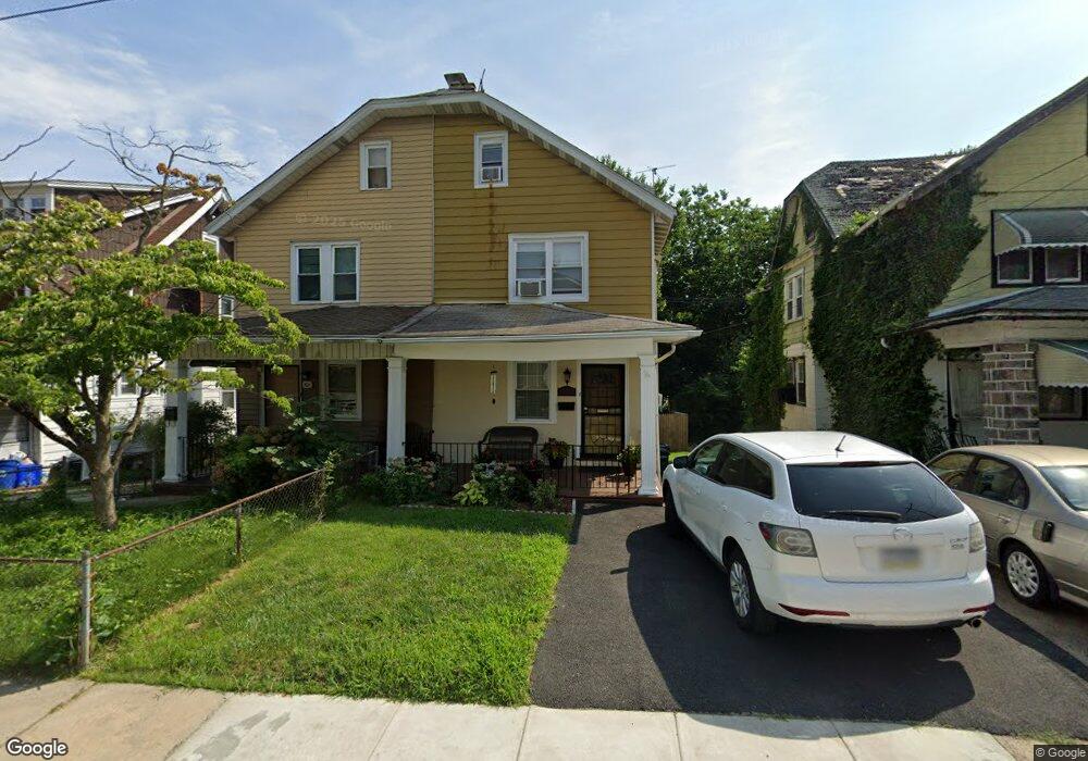
523 Arbor Rd Lansdowne, PA 19050
Estimated Value: $220,000 - $282,000
3
Beds
1
Bath
1,416
Sq Ft
$171/Sq Ft
Est. Value
About This Home
This home is located at 523 Arbor Rd, Lansdowne, PA 19050 and is currently estimated at $241,665, approximately $170 per square foot. 523 Arbor Rd is a home located in Delaware County with nearby schools including Evans Elementary School, Penn Wood Middle School, and Penn Wood High School - Cypress Street Campus.
Ownership History
Date
Name
Owned For
Owner Type
Purchase Details
Closed on
Jul 21, 1995
Sold by
Budko George and Budko Donna
Bought by
Thomas Alice M and Clark Rosco S
Current Estimated Value
Home Financials for this Owner
Home Financials are based on the most recent Mortgage that was taken out on this home.
Original Mortgage
$75,920
Interest Rate
7.61%
Create a Home Valuation Report for This Property
The Home Valuation Report is an in-depth analysis detailing your home's value as well as a comparison with similar homes in the area
Home Values in the Area
Average Home Value in this Area
Purchase History
| Date | Buyer | Sale Price | Title Company |
|---|---|---|---|
| Thomas Alice M | $76,500 | Commonwealth Land Title Ins |
Source: Public Records
Mortgage History
| Date | Status | Borrower | Loan Amount |
|---|---|---|---|
| Closed | Thomas Alice M | $75,920 |
Source: Public Records
Tax History Compared to Growth
Tax History
| Year | Tax Paid | Tax Assessment Tax Assessment Total Assessment is a certain percentage of the fair market value that is determined by local assessors to be the total taxable value of land and additions on the property. | Land | Improvement |
|---|---|---|---|---|
| 2025 | $4,413 | $103,340 | $33,480 | $69,860 |
| 2024 | $4,413 | $103,340 | $33,480 | $69,860 |
| 2023 | $4,008 | $103,340 | $33,480 | $69,860 |
| 2022 | $3,821 | $103,340 | $33,480 | $69,860 |
| 2021 | $5,779 | $103,340 | $33,480 | $69,860 |
| 2020 | $4,461 | $71,440 | $19,310 | $52,130 |
| 2019 | $4,383 | $71,440 | $19,310 | $52,130 |
| 2018 | $4,322 | $71,440 | $0 | $0 |
| 2017 | $4,231 | $71,440 | $0 | $0 |
| 2016 | $392 | $71,440 | $0 | $0 |
| 2015 | $392 | $71,440 | $0 | $0 |
| 2014 | $392 | $71,440 | $0 | $0 |
Source: Public Records
Map
Nearby Homes
- 536 Cypress St
- 503 Bonsall Ave
- 407 Church Ln
- 435 Bonsall Ave
- 530 Orchard Ave
- 702 Cedar Ave
- 1016 Whitby Ave
- 603 Penn St
- 711 Yeadon Ave Unit 1
- 740 Church Ln
- 722 Yeadon Ave
- 800 Bullock Ave
- 813 Arbor Rd
- 825 Laurel Rd
- 1212 S Millick St
- 7026 Atlantic Ave
- 6013 Baltimore Ave
- 6030 Cedarhurst St
- 1201 S Millick St
- 1214 S 60th St