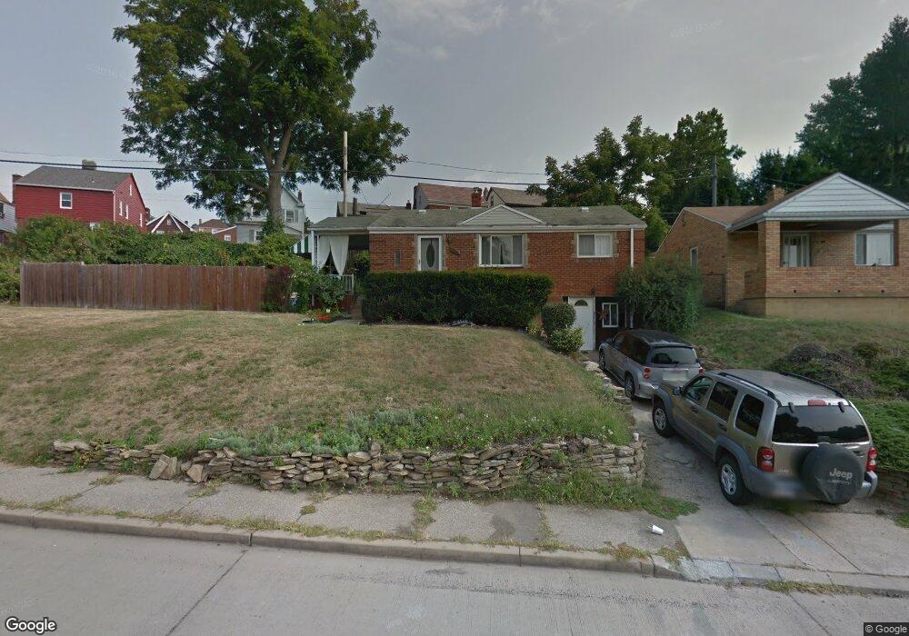
523 Beaufort Ave Pittsburgh, PA 15226
Brookline NeighborhoodEstimated Value: $178,000 - $215,882
3
Beds
2
Baths
945
Sq Ft
$210/Sq Ft
Est. Value
About This Home
This home is located at 523 Beaufort Ave, Pittsburgh, PA 15226 and is currently estimated at $198,471, approximately $210 per square foot. 523 Beaufort Ave is a home located in Allegheny County with nearby schools including Pittsburgh West Liberty K-5, Pittsburgh South Brook, and Pittsburgh Carrick High School.
Ownership History
Date
Name
Owned For
Owner Type
Purchase Details
Closed on
Aug 2, 2023
Sold by
Crossey Stephanie Ann Exrx and Taylor George H Est
Bought by
Crossey Stephanie Ann and Taylor Stephanie
Current Estimated Value
Purchase Details
Closed on
Jun 28, 2001
Sold by
Taylor George H and Taylor Mary A
Bought by
Taylor George H
Create a Home Valuation Report for This Property
The Home Valuation Report is an in-depth analysis detailing your home's value as well as a comparison with similar homes in the area
Home Values in the Area
Average Home Value in this Area
Purchase History
| Date | Buyer | Sale Price | Title Company |
|---|---|---|---|
| Taylor George H | -- | -- | |
| Crossey Stephanie Ann | -- | -- | |
| Crossey Stephanie Ann | -- | -- |
Source: Public Records
Tax History Compared to Growth
Tax History
| Year | Tax Paid | Tax Assessment Tax Assessment Total Assessment is a certain percentage of the fair market value that is determined by local assessors to be the total taxable value of land and additions on the property. | Land | Improvement |
|---|---|---|---|---|
| 2025 | $1,938 | $84,100 | $27,500 | $56,600 |
| 2024 | $1,938 | $84,100 | $27,500 | $56,600 |
| 2023 | $1,938 | $84,100 | $27,500 | $56,600 |
| 2022 | $1,912 | $84,100 | $27,500 | $56,600 |
| 2021 | $1,933 | $84,100 | $27,500 | $56,600 |
| 2020 | $1,903 | $84,100 | $27,500 | $56,600 |
| 2019 | $1,903 | $84,100 | $27,500 | $56,600 |
| 2018 | $828 | $84,100 | $27,500 | $56,600 |
| 2017 | $1,903 | $84,100 | $27,500 | $56,600 |
| 2016 | $398 | $84,100 | $27,500 | $56,600 |
| 2015 | $398 | $66,100 | $27,500 | $38,600 |
| 2014 | $1,463 | $66,100 | $27,500 | $38,600 |
Source: Public Records
Map
Nearby Homes
- 320 Fernhill Ave
- 339 Fernhill Ave
- 646 Elmbank St
- 2033 Plainview Ave
- 2007 Plainview Ave
- 2143 Plainview Ave
- 2054 Woodward Ave
- 547 Gallion Ave
- 2400 Pioneer Ave
- 1937 Plainview Ave
- 603 Crysler St
- 2407 Woodward Ave
- 661 Dunster St
- 616 Rossmore Ave
- 714 Dunster St
- 720 Dunster St
- 2462 Pioneer Ave
- 742 Mayville Ave
- 1831 Woodward Ave
- 821 Rossmore Ave
- 322 Lamarido St
- 312 Lamarido St
- 324 Lamarido St
- 529 Beaufort Ave
- 308 Lamarido St
- 326 Lamarido St
- 600 Perrilyn Ave
- 330 Lamarido St
- 535 Beaufort Ave
- 2300 Birtley Ave
- 334 Lamarido St
- 302 Lamarido St
- 604 Perrilyn Ave
- 541 Beaufort Ave
- 2304 Birtley Ave
- 340 Lamarido St
- 313 Lamarido St
- 317 Lamarido St
- 311 Lamarido St
- 608 Perrilyn St