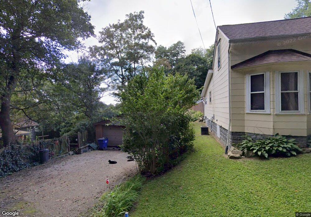
523 Meakin St East Liverpool, OH 43920
Estimated Value: $70,889 - $117,000
3
Beds
1
Bath
1,111
Sq Ft
$88/Sq Ft
Est. Value
About This Home
This home is located at 523 Meakin St, East Liverpool, OH 43920 and is currently estimated at $97,222, approximately $87 per square foot. 523 Meakin St is a home located in Columbiana County with nearby schools including Westgate Middle School, North Elementary School, and East Liverpool High School.
Ownership History
Date
Name
Owned For
Owner Type
Purchase Details
Closed on
Oct 6, 1998
Sold by
Plummer Nina and Estate Of Violet L Brewer
Bought by
Burke Todd A and Burke Ninette L
Current Estimated Value
Home Financials for this Owner
Home Financials are based on the most recent Mortgage that was taken out on this home.
Original Mortgage
$15,000
Interest Rate
6.8%
Purchase Details
Closed on
May 21, 1998
Sold by
Estate Of Harley M Brewer
Bought by
Estate Of Violet L Brewer
Create a Home Valuation Report for This Property
The Home Valuation Report is an in-depth analysis detailing your home's value as well as a comparison with similar homes in the area
Home Values in the Area
Average Home Value in this Area
Purchase History
| Date | Buyer | Sale Price | Title Company |
|---|---|---|---|
| Burke Todd A | $18,790 | -- | |
| Estate Of Violet L Brewer | -- | -- |
Source: Public Records
Mortgage History
| Date | Status | Borrower | Loan Amount |
|---|---|---|---|
| Closed | Burke Todd A | $15,000 |
Source: Public Records
Tax History Compared to Growth
Tax History
| Year | Tax Paid | Tax Assessment Tax Assessment Total Assessment is a certain percentage of the fair market value that is determined by local assessors to be the total taxable value of land and additions on the property. | Land | Improvement |
|---|---|---|---|---|
| 2024 | $613 | $14,910 | $2,100 | $12,810 |
| 2023 | $613 | $14,910 | $2,100 | $12,810 |
| 2022 | $613 | $14,910 | $2,100 | $12,810 |
| 2021 | $555 | $12,360 | $2,000 | $10,360 |
| 2020 | $555 | $12,360 | $2,000 | $10,360 |
| 2019 | $555 | $12,360 | $2,000 | $10,360 |
| 2018 | $538 | $11,240 | $1,820 | $9,420 |
| 2017 | $566 | $11,240 | $1,820 | $9,420 |
| 2016 | $529 | $10,820 | $2,450 | $8,370 |
| 2015 | $529 | $10,820 | $2,450 | $8,370 |
| 2014 | $523 | $10,820 | $2,450 | $8,370 |
Source: Public Records
Map
Nearby Homes
- 628 Fisher Ave
- 120 Woodbine
- 1714 Allison St
- 1520 Smithfield St
- 1519 Saint Clair Ave
- 1507 Saint Clair Ave
- 1178 Oliver St
- 316 Carolina Ave
- 49536 Sunset Dr
- 921 Orchard Grove Ave
- 1332 Sunnyside St
- 920 Mckinnon Ave
- 1234 Sunnyside St
- 925 Montgomery St
- 874 Logan St
- 0 Armstrong Ln
- 306 Imperial Dr
- 1874 Idaho Ave
- 932 Logan St
- 849 Cadmus St
- 433 Canton St
- 341 Canton St
- 325 Canton St
- 522 Meakin St
- 521 Meakin St
- 324 Canton St
- 524 Meakin St
- 309 Canton St
- 280 Canton St
- 2001 Davis St
- 2020 Davis St
- 1924 Woodbine Ave
- 0 Lawton Unit 4456589
- 0 Davis St
- 1951 Harrison St
- 2023 Davis St
- 1925 Woodbine Ave
- 1945 Harrison St
- 1939 Harrison St
- 300 Henry Ave