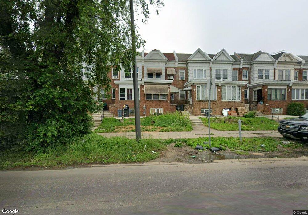
5233 Roosevelt Blvd Philadelphia, PA 19124
Lawncrest NeighborhoodEstimated Value: $215,000 - $236,374
--
Bed
--
Bath
1,378
Sq Ft
$165/Sq Ft
Est. Value
About This Home
This home is located at 5233 Roosevelt Blvd, Philadelphia, PA 19124 and is currently estimated at $227,791, approximately $165 per square foot. 5233 Roosevelt Blvd is a home located in Philadelphia County with nearby schools including Frankford High School, The Philadelphia Charter School for the Arts & Sciences, and Northwood Academy Charter School.
Ownership History
Date
Name
Owned For
Owner Type
Purchase Details
Closed on
Jul 21, 2016
Sold by
Us Bank Na
Bought by
Miaji Sayem and Begum Sharina
Current Estimated Value
Purchase Details
Closed on
May 23, 2016
Sold by
Mccauley Clark E
Bought by
U S Bank National Association
Purchase Details
Closed on
Jun 15, 1999
Sold by
Ross Alice Julie
Bought by
Mccauley Clark E
Create a Home Valuation Report for This Property
The Home Valuation Report is an in-depth analysis detailing your home's value as well as a comparison with similar homes in the area
Home Values in the Area
Average Home Value in this Area
Purchase History
| Date | Buyer | Sale Price | Title Company |
|---|---|---|---|
| Miaji Sayem | $20,250 | None Available | |
| U S Bank National Association | $43,700 | None Available | |
| Mccauley Clark E | $49,800 | -- |
Source: Public Records
Tax History Compared to Growth
Tax History
| Year | Tax Paid | Tax Assessment Tax Assessment Total Assessment is a certain percentage of the fair market value that is determined by local assessors to be the total taxable value of land and additions on the property. | Land | Improvement |
|---|---|---|---|---|
| 2026 | $1,947 | $228,900 | $45,780 | $183,120 |
| 2025 | $1,947 | $228,900 | $45,780 | $183,120 |
| 2024 | $1,947 | $228,900 | $45,780 | $183,120 |
| 2023 | $1,947 | $139,100 | $27,800 | $111,300 |
| 2022 | $1,571 | $139,100 | $27,800 | $111,300 |
| 2021 | $1,571 | $0 | $0 | $0 |
| 2020 | $1,571 | $0 | $0 | $0 |
| 2019 | $1,508 | $0 | $0 | $0 |
| 2018 | $1,442 | $0 | $0 | $0 |
| 2017 | $1,442 | $0 | $0 | $0 |
| 2016 | $1,442 | $0 | $0 | $0 |
| 2015 | $1,380 | $0 | $0 | $0 |
| 2014 | -- | $103,000 | $28,219 | $74,781 |
| 2012 | -- | $12,288 | $1,891 | $10,397 |
Source: Public Records
Map
Nearby Homes
- 1048 Bridge St
- 5659 Miriam Rd
- 5661 Miriam Rd
- 5640 Miriam Rd
- 5505 Loretto Ave
- 1137 Bridge St
- 991 Carver St
- 996 Anchor St
- 934 Brill St
- 934 E Sanger St
- 925 E Sanger St
- 1204 Pratt St
- 1225 E Cheltenham Ave
- 4046 E Roosevelt Blvd
- 1211 E Cheltenham Ave
- 894 Granite St
- 1218 Pratt St
- 1220 Pratt St
- 929 1/2 Anchor St
- 912 Anchor St
- 5235 Roosevelt Blvd
- 5231 Roosevelt Blvd
- 5235 E Roosevelt Blvd
- 5229 Roosevelt Blvd
- 5237 Roosevelt Blvd
- 5227 Roosevelt Blvd
- 5239 Roosevelt Blvd
- 5241 Roosevelt Blvd
- 5225 Roosevelt Blvd
- 5223 Roosevelt Blvd
- 5243 Roosevelt Blvd
- 5221 Roosevelt Blvd
- 5245 Roosevelt Blvd
- 5219 Roosevelt Blvd
- 5247 Roosevelt Blvd
- 5217 Roosevelt Blvd
- 5249 Roosevelt Blvd
- 5220 Castor Ave
- 5215 Roosevelt Blvd
- 5251 Roosevelt Blvd